Hurricane spiral satellite
1344×768 · AVIF · CC BY 4.0
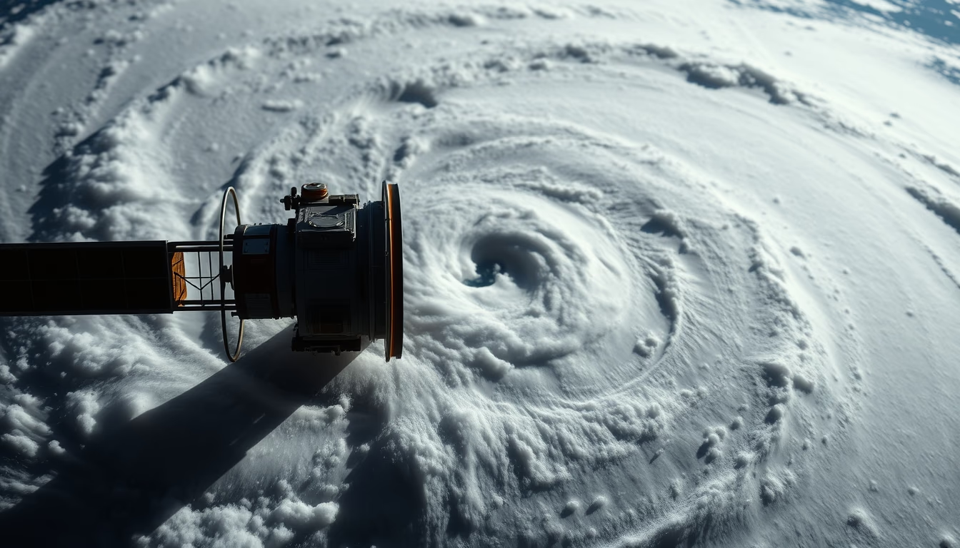
Satellite image reveals the eye and spiral cloud bands of a hurricane, a phenomenon reaching up to 300 km/h monitored by orbital sensors.
About this subject
Hurricanes are low-pressure systems that form over tropical ocean waters with sea surface temperatures above 26 °C. Earth's rotation (Coriolis effect) causes air masses to spin counterclockwise in the Northern Hemisphere, creating the characteristic spiral structure. The eye, a calm central area, is surrounded by the eyewall where winds are most intense. Spiral rainbands extend hundreds of kilometers, producing heavy rainfall and storms.
Geostationary weather satellites, such as the GOES series (USA) and Meteosat (Europe), continuously monitor these tropical cyclones. Visible and infrared imagery allows estimation of cloud-top temperature, wind intensity via the Dvorak technique, and forecasted track. Since the first weather satellite (TIROS-1) launched in 1960, hurricane prediction has drastically improved, reducing human casualties.
In Brazil, hurricanes are rare, but extratropical cyclones in the South Atlantic gained attention after Hurricane Catarina (2004) hit Santa Catarina and Rio Grande do Sul. Although hurricanes are more common in the North Atlantic (affecting the Caribbean and Florida), satellite monitoring is essential for early warnings worldwide. The World Meteorological Organization coordinates naming and real-time data exchange.
Notably, the average hurricane lasts 5 to 10 days, but some persist for weeks. The longest-lasting hurricane on record, Hurricane John (1994), lasted 31 days in the Pacific. The energy released by a mature hurricane is equivalent to about 10,000 atomic bombs per second.
Frequently Asked Questions
How do satellites detect hurricane formation?
Weather satellites capture visible and infrared images showing cloud organization, decreasing central pressure, and rising sea surface temperature. Techniques like the Dvorak method estimate intensity from cloud patterns.
What is the difference between hurricane, typhoon, and cyclone?
They are the same phenomenon but with regional names: hurricane in the North Atlantic and Northeast Pacific, typhoon in the Northwest Pacific, and cyclone in the Indian and South Pacific. All are tropical cyclones with winds above 119 km/h.
Why is the eye of a hurricane calm?
In the eye, descending air inhibits cloud formation and reduces wind speed. This air warms adiabatically, making the region warmer and drier than surrounding areas. The calm is temporary, as the eyewall soon returns.
Direct URL
https://pub-c7d6a6ea828543ac903a74a341ccb2e1.r2.dev/imagens/hurricane-spiral-satellite-magazine-editorial-fresh4.avifHow to credit
Include a visible link back to UtilizAí. Copy one of the snippets below:
<a href="https://xn--utiliza-eza.com/en/midia/imagens/hurricane-spiral-satellite-magazine-editorial-fresh4">Hurricane spiral satellite</a> by <a href="https://xn--utiliza-eza.com">UtilizAí</a>, licensed under <a href="https://creativecommons.org/licenses/by/4.0/">CC BY 4.0</a>.
[Hurricane spiral satellite](https://xn--utiliza-eza.com/en/midia/imagens/hurricane-spiral-satellite-magazine-editorial-fresh4) by [UtilizAí](https://xn--utiliza-eza.com), CC BY 4.0
License: CC-BY-4.0





