Hurricane spiral satellite
1344×768 · AVIF · CC BY 4.0
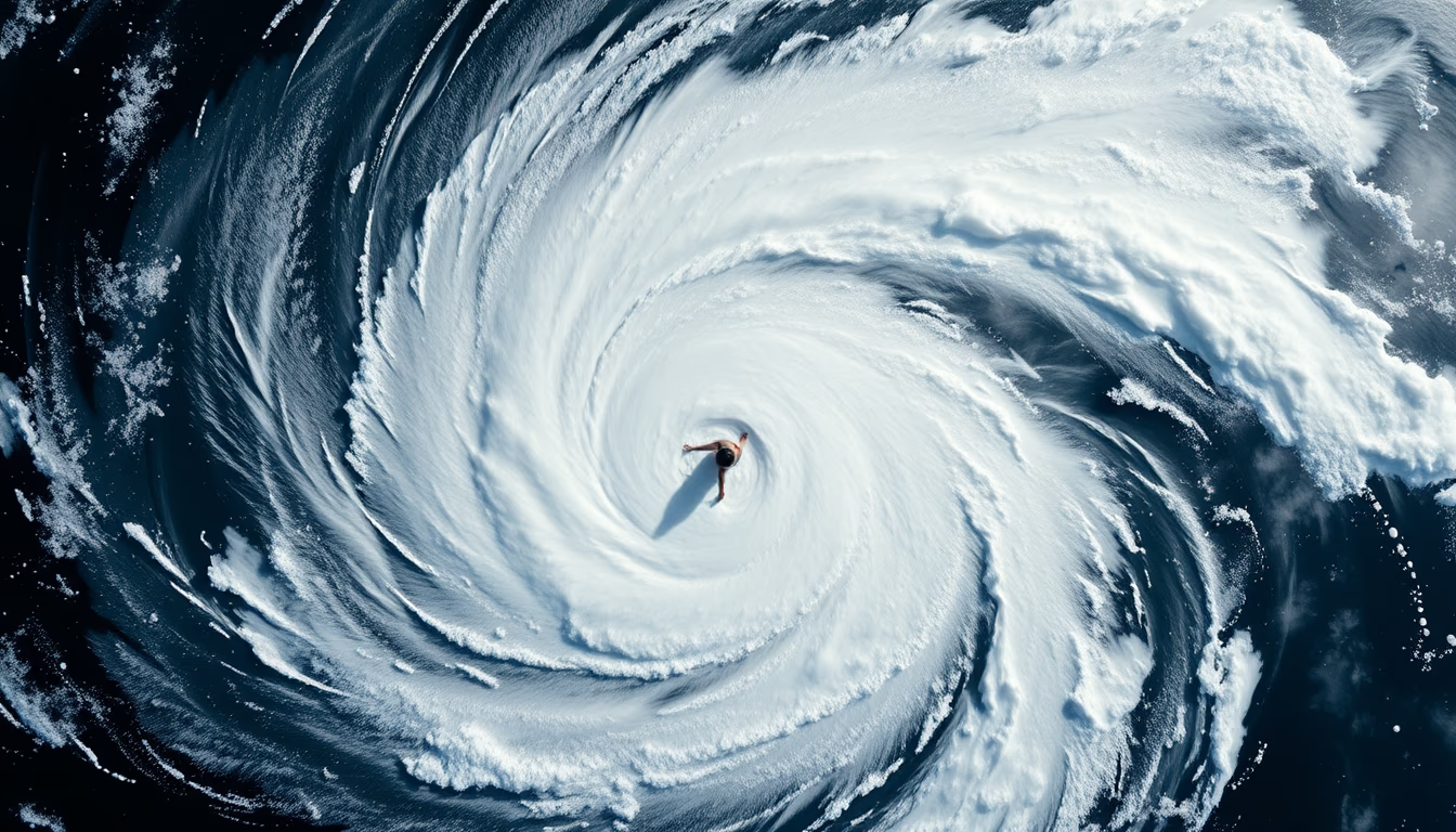
Imagem de satélite captura a impressionante espiral de um furacão, fenômeno meteorológico de grande intensidade.
Sobre o tema
Furacões são ciclones tropicais que se formam sobre águas oceânicas quentes, com temperaturas superiores a 26°C. A energia liberada pela condensação do vapor d'água alimenta o sistema, gerando ventos violentos e chuvas torrenciais. A estrutura de um furacão maduro é marcada por uma espiral de nuvens que gira em torno de um centro de baixa pressão, conhecido como olho. O olho é tipicamente calmo e claro, cercado pela parede do olho, onde os ventos são mais intensos.
Imagens de satélite são fundamentais para o monitoramento e previsão de furacões. Satélites geoestacionários, como os da série GOES (Estados Unidos), fornecem imagens em tempo real que permitem acompanhar a trajetória e a evolução da tempestade. Já satélites de órbita polar, como o Suomi NPP, oferecem imagens de alta resolução detalhando a estrutura das nuvens e a temperatura da superfície do mar, dados cruciais para modelos de previsão.
A escala Saffir-Simpson classifica furacões de 1 a 5 com base na velocidade dos ventos. Um furacão de categoria 5, como o Katrina (2005) ou o Irma (2017), pode causar devastação total em áreas costeiras. A formação de furacões é influenciada por fenômenos climáticos globais, como o El Niño Oscilação Sul (ENOS), que pode aumentar ou diminuir a atividade de ciclones tropicais no Atlântico.
Curiosidade: a cada ano, cerca de 80 a 90 tempestades tropicais se formam globalmente, das quais aproximadamente metade atinge intensidade de furacão. As bacias mais ativas são o Atlântico Norte, o Pacífico Noroeste (onde são chamados de tufões) e o Índico Norte (ciclones). O monitoramento por satélite desde a década de 1960 revolucionou a capacidade de alerta e salvou inúmeras vidas.
Perguntas frequentes
Como os satélites conseguem capturar imagens de furacões em tempo real?
Satélites geoestacionários, como o GOES-16, ficam em órbita fixa sobre um ponto da Terra, tirando fotos a cada minuto. Isso permite acompanhar a formação e movimento dos furacões continuamente.
Qual a diferença entre furacão, tufão e ciclone?
A nomenclatura varia conforme a região. Furacão é usado no Atlântico Norte e Pacífico Nordeste; tufão no Pacífico Noroeste; e ciclone no Índico Norte e Sul. Todos são o mesmo fenômeno: ciclones tropicais.
Qual foi o furacão mais intenso já registrado?
O furacão Patricia (2015) no Pacífico Nordeste atingiu ventos de 345 km/h, a maior velocidade já medida. Já o tufão Tip (1979) foi o maior em diâmetro, com cerca de 2.200 km de extensão.
URL direta
https://pub-c7d6a6ea828543ac903a74a341ccb2e1.r2.dev/imagens/hurricane-spiral-satellite-isometric-flat-lay-fresh13.avifComo creditar
Inclua um link visível de volta pro UtilizAí. Copie um dos snippets abaixo:
<a href="https://xn--utiliza-eza.com/midia/imagens/hurricane-spiral-satellite-isometric-flat-lay-fresh13">Hurricane spiral satellite</a> by <a href="https://xn--utiliza-eza.com">UtilizAí</a>, licensed under <a href="https://creativecommons.org/licenses/by/4.0/">CC BY 4.0</a>.
[Hurricane spiral satellite](https://xn--utiliza-eza.com/midia/imagens/hurricane-spiral-satellite-isometric-flat-lay-fresh13) by [UtilizAí](https://xn--utiliza-eza.com), CC BY 4.0
Licença: CC-BY-4.0





