Hurricane spiral satellite
1344×768 · AVIF · CC BY 4.0
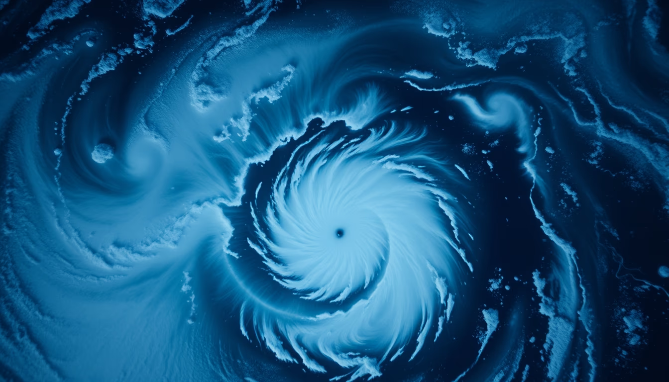
Satellite image captures the eye and spiral bands of a hurricane in the North Atlantic, highlighting the cyclonic structure and energy released by these phenomena.
About this subject
Hurricanes, also known as tropical cyclones, are low-pressure systems that form over warm ocean waters with surface temperatures above 26.5°C. The Earth's rotation (Coriolis effect) gives the clouds a spiraling motion, visible in satellite images as a circular structure with a clear eye at the center. The eye is a region of calm weather and clear skies, surrounded by the eyewall, where winds are strongest and rainfall is heaviest. The spiral rainbands extending outward carry moisture and heat, fueling the system.
Satellite observation is essential for monitoring hurricanes, particularly in the North Atlantic and Eastern Pacific, where about 12 named storms occur annually. Geostationary satellites, such as the GOES series (United States), provide images every 10 minutes, allowing tracking of eye evolution and intensification. Polar-orbiting satellites, like NOAA-20, deliver high-resolution data on sea surface temperature and vertical storm structure, crucial for trajectory and intensity forecast models.
Historically, hurricanes have caused enormous socioeconomic impacts. Hurricane Katrina (2005) resulted in over $100 billion in damages and about 1,800 deaths in the United States. Early warnings based on satellite images and meteorological alerts have reduced fatalities over recent decades. In Brazil, although hurricanes are rare, extratropical cyclones and severe storms in the south are monitored using similar technologies.
Interestingly, a hurricane's spiral structure can extend hundreds of kilometers, and wind speeds in the eyewall often exceed 200 km/h. The energy released by a mature hurricane equals several atomic bombs per second, but most of it is dissipated over the ocean. Recent studies suggest that global warming may increase the maximum intensity of hurricanes, making satellite monitoring even more critical for coastal safety.
Frequently Asked Questions
How does a hurricane form?
Hurricanes form over tropical oceans with sea surface temperatures above 26.5°C. Intense evaporation creates warm, moist air that rises, forming clouds and releasing latent heat. This lowers surface pressure, and Earth's rotation (Coriolis effect) causes the system to spin, developing a growing spiral structure.
Why is the eye of a hurricane calm?
The eye is a region of descending air at the hurricane's center, where pressure is lowest. Air rising in the eyewall cools and sinks in the center, inhibiting cloud formation, resulting in clear skies and light winds. The calm is temporary, as the eye may contract or be replaced in eyewall replacement cycles.
How do satellites help forecast hurricanes?
Geostationary satellites (e.g., GOES) provide continuous images of a hurricane's position and structure, while polar-orbiting satellites (e.g., NOAA-20) measure sea temperature, moisture, and wind profiles. This data feeds numerical forecast models, allowing prediction of track and intensity days in advance.
Direct URL
https://pub-c7d6a6ea828543ac903a74a341ccb2e1.r2.dev/imagens/hurricane-spiral-satellite-aerial-drone-shot-fresh0.avifHow to credit
Include a visible link back to UtilizAí. Copy one of the snippets below:
<a href="https://xn--utiliza-eza.com/en/midia/imagens/hurricane-spiral-satellite-aerial-drone-shot-fresh0">Hurricane spiral satellite</a> by <a href="https://xn--utiliza-eza.com">UtilizAí</a>, licensed under <a href="https://creativecommons.org/licenses/by/4.0/">CC BY 4.0</a>.
[Hurricane spiral satellite](https://xn--utiliza-eza.com/en/midia/imagens/hurricane-spiral-satellite-aerial-drone-shot-fresh0) by [UtilizAí](https://xn--utiliza-eza.com), CC BY 4.0
License: CC-BY-4.0





