Amazon deforestation satellite
1344×768 · AVIF · CC BY 4.0
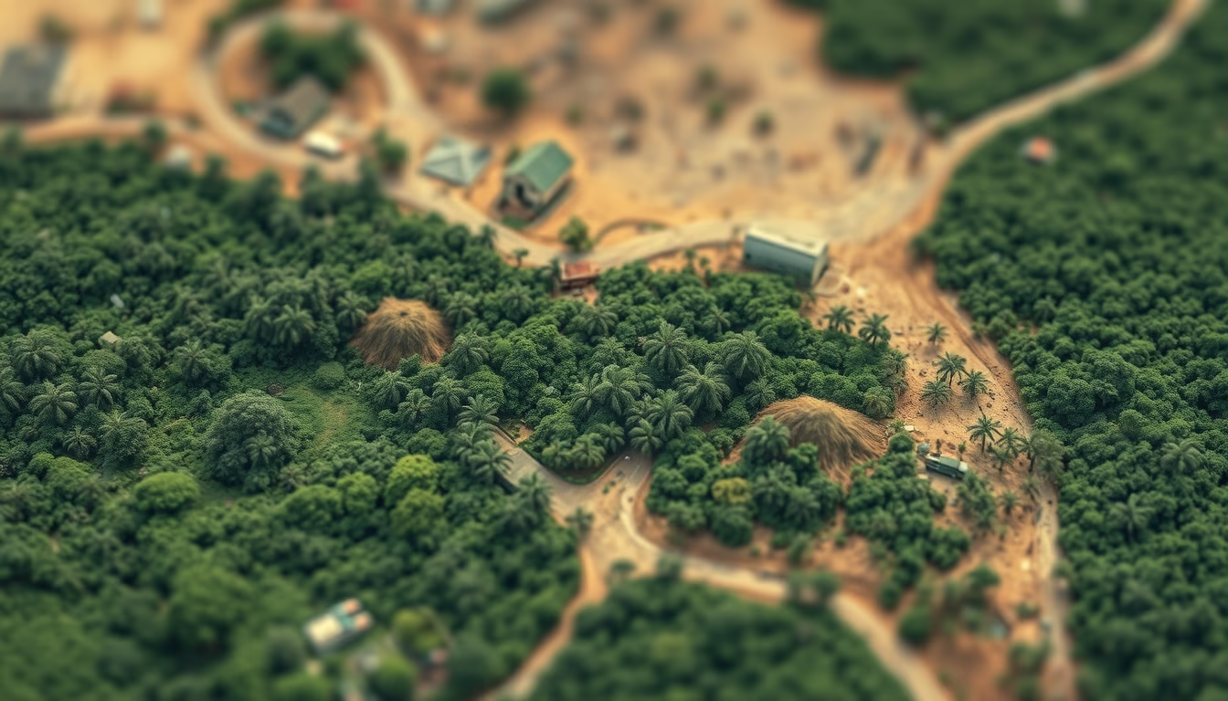
Monitoring satellites for Amazon deforestation, such as PRODES and DETER, are essential for tracking and curbing forest loss.
About this subject
Monitoring deforestation in the Amazon relies on a constellation of satellites, both national and international, that provide daily and annual images of forest cover. The PRODES program, run by Brazil's National Institute for Space Research (INPE), uses images from NASA's Landsat and the China-Brazil Earth Resources Satellite (CBERS) to produce annual deforestation rates since 1988. The DETER system, also by INPE, issues near-real-time alerts using sensors like MODIS and VIIRS, enabling enforcement actions by Ibama.
Satellites detect not only clear-cutting but also forest degradation from fires and logging. INPE data shows that in 2022, the deforestation rate in the Legal Amazon reached 11,568 km², the highest since 2008. Satellite images reveal "fishbone" deforestation patterns along roads, typical of illegal occupation. Synthetic Aperture Radar (SAR) technology, aboard Sentinel-1 (ESA and INPE), allows monitoring even under persistent cloud cover.
Brazil's monitoring systems have inspired global initiatives like Global Forest Watch. Artificial intelligence now accelerates image analysis, identifying new deforestation hotspots within minutes. This continuous monitoring is vital for policies such as the Action Plan for Prevention and Control of Deforestation in the Legal Amazon (PPCDAm) and for meeting Paris Agreement targets.
Trivia: the first deforestation alerts via satellite in Brazil came in the 1970s with Landsat 1, but systematic monitoring only began in 1988 with PRODES. Today, Brazil is a world reference in satellite-based forest monitoring.
Frequently Asked Questions
What is the difference between PRODES and DETER?
PRODES measures annual deforestation with high precision, using satellite images like Landsat and CBERS. DETER issues daily alerts of forest cover changes for enforcement actions, with lower spatial resolution.
Which satellites are used to monitor the Amazon?
Main ones include Landsat (USA), CBERS (Brazil-China), Sentinel-1/2 (ESA), MODIS (NASA), and Amazonia-1 (Brazil). Each has specific roles, such as radar for cloudy areas or high resolution for detail.
Why is satellite monitoring important to curb deforestation?
It enables real-time or near-real-time detection, guides enforcement, generates data for policy, and provides evidence for international environmental commitments.
Direct URL
https://pub-c7d6a6ea828543ac903a74a341ccb2e1.r2.dev/imagens/amazon-deforestation-satellite-tilt-shift-miniature-fresh13.avifHow to credit
Include a visible link back to UtilizAí. Copy one of the snippets below:
<a href="https://xn--utiliza-eza.com/en/midia/imagens/amazon-deforestation-satellite-tilt-shift-miniature-fresh13">Amazon deforestation satellite</a> by <a href="https://xn--utiliza-eza.com">UtilizAí</a>, licensed under <a href="https://creativecommons.org/licenses/by/4.0/">CC BY 4.0</a>.
[Amazon deforestation satellite](https://xn--utiliza-eza.com/en/midia/imagens/amazon-deforestation-satellite-tilt-shift-miniature-fresh13) by [UtilizAí](https://xn--utiliza-eza.com), CC BY 4.0
License: CC-BY-4.0





