Amazon deforestation satellite
1344×768 · AVIF · CC BY 4.0
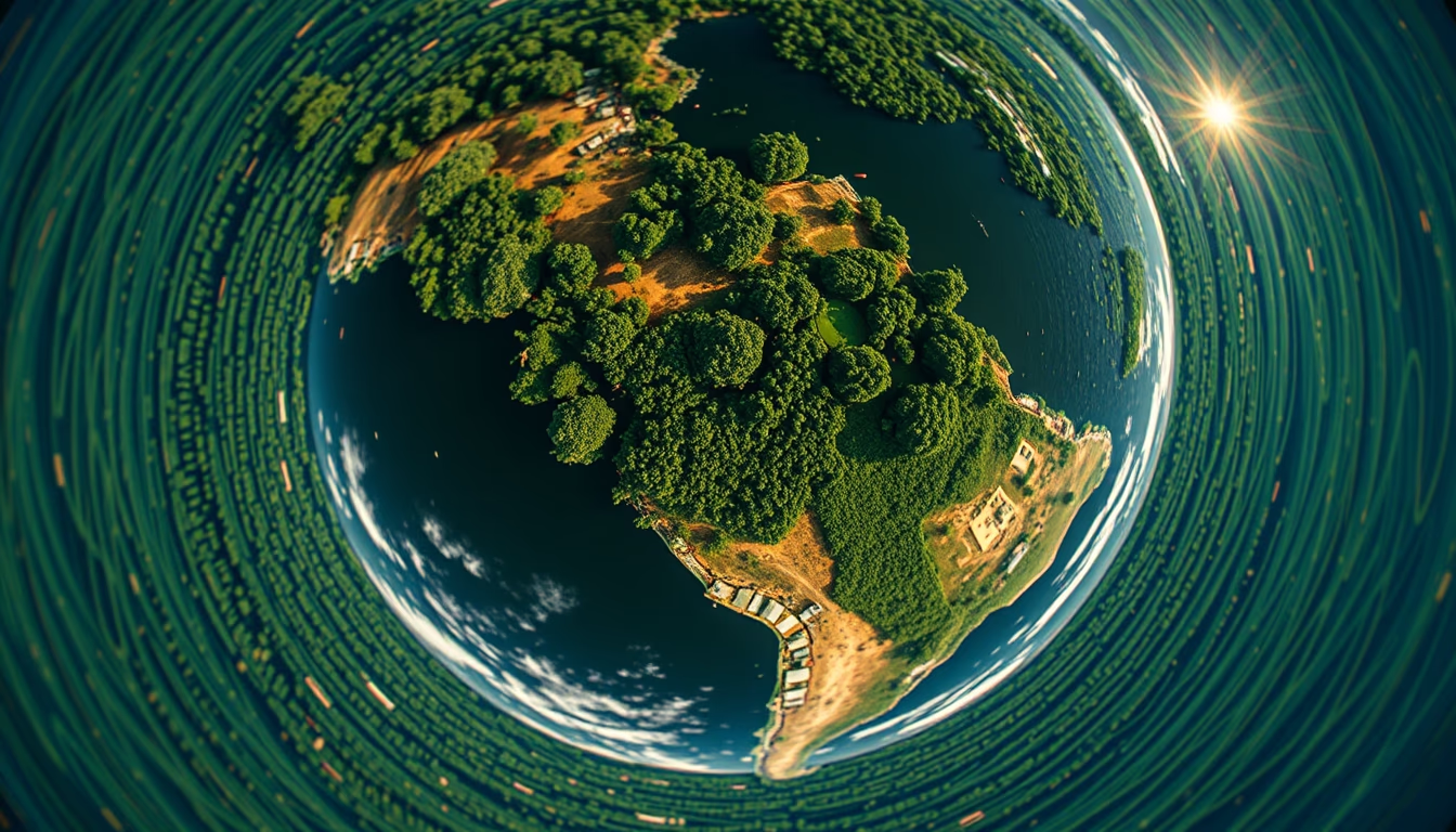
Imagens de satélite revelam o avanço do desmatamento na Amazônia, monitorado por programas como o PRODES do INPE.
Sobre o tema
O monitoramento do desmatamento na Amazônia é feito principalmente por satélites de observação da Terra. O Instituto Nacional de Pesquisas Espaciais (INPE) opera o Programa de Cálculo do Desflorestamento da Amazônia (PRODES) desde 1988, utilizando imagens de satélites como Landsat (EUA) e CBERS (China-Brasil). Esses satélites fornecem resolução suficiente para detectar áreas desmatadas com tamanho superior a 6,25 hectares.
As imagens de satélite mostram a perda de cobertura florestal em tempo quase real. O sistema DETER, também do INPE, emite alertas diários. Em 2022, a Amazônia perdeu cerca de 11.568 km² de floresta, um aumento de 15% em relação ao ano anterior, segundo dados oficiais. Esse monitoramento é crucial para políticas de combate ao desmatamento ilegal.
Além do PRODES, existem iniciativas internacionais, como o Global Forest Watch da WRI, que usam imagens de satélite para mapear a perda florestal globalmente. A tecnologia de sensoriamento remoto evoluiu, com satélites como o Sentinel-2 (ESA) oferecendo imagens de alta resolução a cada 5 dias. No entanto, a cobertura de nuvens ainda é um desafio na região amazônica.
O desmatamento na Amazônia tem causas diversas: expansão agropecuária, mineração ilegal, grilagem de terras e extração de madeira. As imagens de satélite são ferramentas fundamentais para a fiscalização e responsabilização. Com a recente política ambiental brasileira, houve oscilações nas taxas de desmatamento, mas o monitoramento contínuo permite a análise de tendências.
Perguntas frequentes
Como os satélites detectam o desmatamento?
Satélites de observação da Terra, como Landsat e Sentinel-2, capturam imagens multiespectrais que permitem diferenciar floresta de áreas desmatadas. Algoritmos analisam mudanças na cobertura vegetal ao longo do tempo, identificando novos desmatamentos.
Qual a diferença entre PRODES e DETER?
PRODES é um sistema anual que calcula a taxa consolidada de desmatamento usando imagens de fim de estação seca. DETER é um sistema de alerta diário, com menor precisão espacial, que detecta mudanças rápidas na cobertura florestal para ações de fiscalização.
Quais são as principais causas do desmatamento na Amazônia?
As principais causas incluem a expansão da agropecuária (especialmente pastagens e soja), mineração ilegal, extração de madeira e grilagem de terras. A construção de estradas também facilita o acesso a áreas remotas.
URL direta
https://pub-c7d6a6ea828543ac903a74a341ccb2e1.r2.dev/imagens/amazon-deforestation-satellite-fish-eye-wide-angle-fresh12.avifComo creditar
Inclua um link visível de volta pro UtilizAí. Copie um dos snippets abaixo:
<a href="https://xn--utiliza-eza.com/midia/imagens/amazon-deforestation-satellite-fish-eye-wide-angle-fresh12">Amazon deforestation satellite</a> by <a href="https://xn--utiliza-eza.com">UtilizAí</a>, licensed under <a href="https://creativecommons.org/licenses/by/4.0/">CC BY 4.0</a>.
[Amazon deforestation satellite](https://xn--utiliza-eza.com/midia/imagens/amazon-deforestation-satellite-fish-eye-wide-angle-fresh12) by [UtilizAí](https://xn--utiliza-eza.com), CC BY 4.0
Licença: CC-BY-4.0





