Amazon deforestation satellite
1344×768 · AVIF · CC BY 4.0
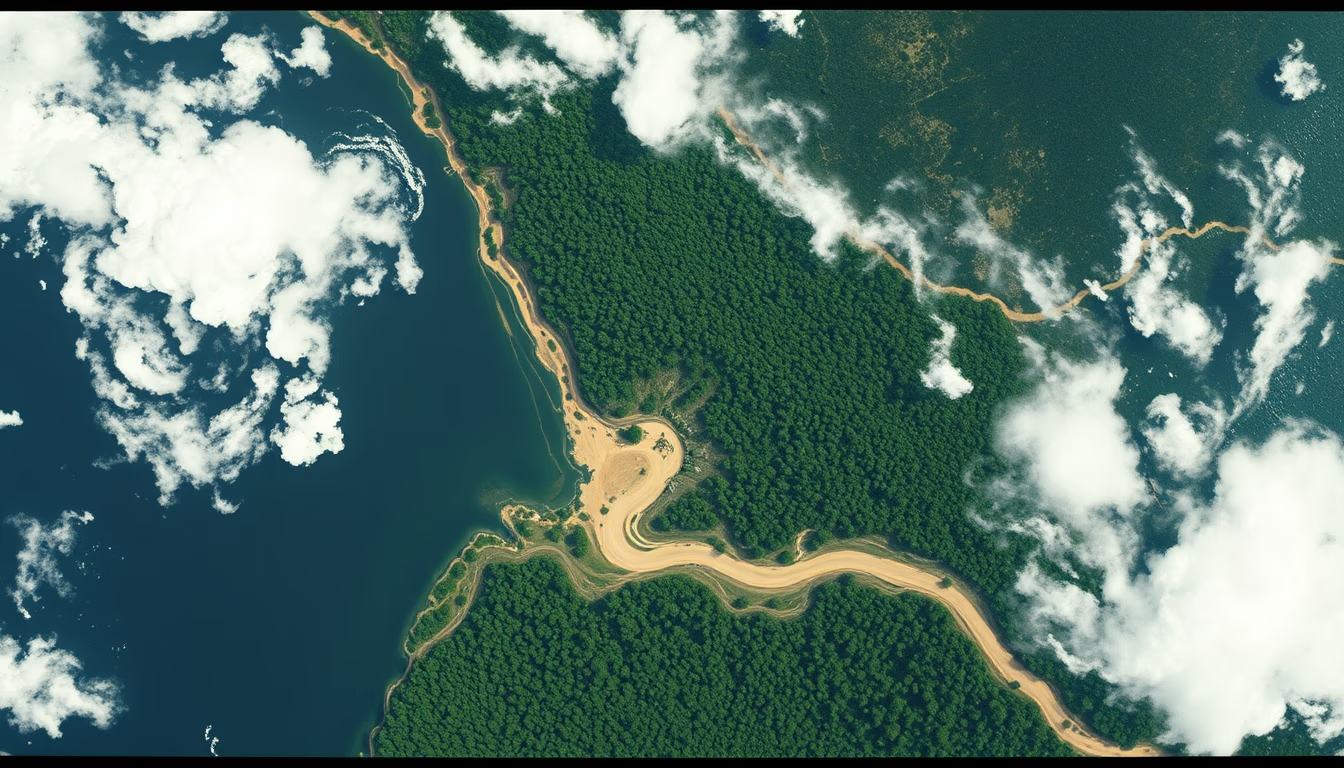
Satellites such as CBERS-4 and Sentinel-2 monitor deforestation in the Amazon, providing critical imagery for alerts and environmental policies.
About this subject
Monitoring deforestation in the Amazon heavily relies on Earth observation satellites. Brazil's National Institute for Space Research (INPE) runs the PRODES program, which has used Landsat imagery (NASA/USGS) since the 1970s to detect deforested areas. Today, INPE also uses data from CBERS-4 (a Brazil-China partnership) and Sentinel-2 (ESA's Copernicus program). These satellites carry optical sensors covering different spectral bands, allowing differentiation between native forest and recently cleared land. Typical spatial resolution ranges from 10 to 30 meters, enough to identify clearings as small as 0.5 hectares.
The importance of these data extends beyond science: they underpin public policies such as Ibama's Arc of Fire operation and the Action Plan for Prevention and Control of Deforestation in the Legal Amazon (PPCDAm). Near real‑time alerts from the DETER system guide law enforcement and fines. In 2023, INPE recorded 9,001 km² of deforestation, a 22% decrease from 2022, aided by satellite‑based actions.
Trivia: the Amazonia‑1 satellite, launched in 2021, was the first Earth observation satellite fully designed and integrated in Brazil. Its camera images an 866 km swath with 64‑meter resolution. The Brazil‑China CBERS‑4A, launched in 2019, features a 2‑meter resolution camera for detailed mapping. All data are public and freely available on INPE's website, enabling researchers and NGOs like Imazon (Institute of Man and Environment in the Amazon) to perform independent analysis.
Complementary technologies like synthetic aperture radar (SAR) on Sentinel‑1 and ALOS‑2 satellites allow forest monitoring even under cloud cover, common in the Amazon. Combining optical and radar sensors improves detection of illegal deforestation and forest degradation. Upcoming satellite constellations, such as Planet Labs' fleet of over 200 cubesats, promise daily global imagery, revolutionizing environmental monitoring.
Frequently Asked Questions
Which satellites are used to monitor deforestation in the Amazon?
The main ones are Landsat (USA), CBERS (Brazil-China), Sentinel (Europe), and Amazonia-1 (Brazil). INPE also uses radar satellites like Sentinel-1 and ALOS-2 to overcome cloud cover.
How do satellites detect deforestation in near real time?
INPE's DETER system analyzes images from satellites such as CBERS-4 and Terra (MODIS) and issues daily alerts of areas with changed forest cover, based on spectral and spatial differences.
Are satellite data publicly available?
Yes, INPE provides free imagery and deforestation alerts on its website. Organizations like Imazon also use these data to produce independent reports.
Direct URL
https://pub-c7d6a6ea828543ac903a74a341ccb2e1.r2.dev/imagens/amazon-deforestation-satellite-film-grain-authentic-fresh7.avifHow to credit
Include a visible link back to UtilizAí. Copy one of the snippets below:
<a href="https://xn--utiliza-eza.com/en/midia/imagens/amazon-deforestation-satellite-film-grain-authentic-fresh7">Amazon deforestation satellite</a> by <a href="https://xn--utiliza-eza.com">UtilizAí</a>, licensed under <a href="https://creativecommons.org/licenses/by/4.0/">CC BY 4.0</a>.
[Amazon deforestation satellite](https://xn--utiliza-eza.com/en/midia/imagens/amazon-deforestation-satellite-film-grain-authentic-fresh7) by [UtilizAí](https://xn--utiliza-eza.com), CC BY 4.0
License: CC-BY-4.0





