Amazon deforestation satellite
1344×768 · AVIF · CC BY 4.0
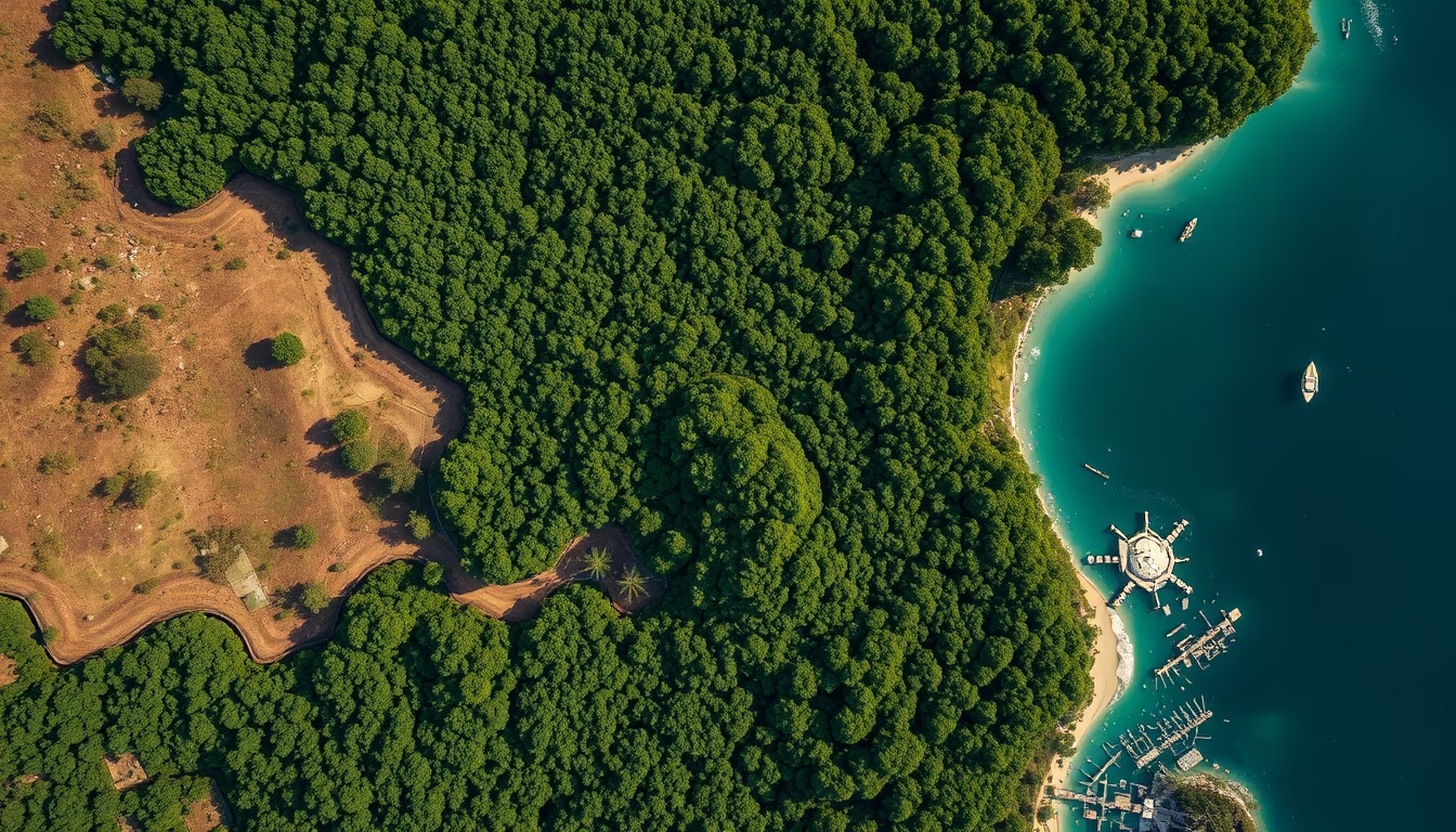
Monitoring satellites such as PRODES track real-time deforestation in the Legal Amazon, providing critical data for environmental policies.
About this subject
Amazon deforestation monitoring by satellite is primarily conducted by Brazil's National Institute for Space Research (INPE) since 1988, through the Program for Deforestation Calculation of the Amazon (PRODES). This system uses imagery from satellites such as Landsat (NASA/USGS) and CBERS (Brazil-China partnership) to detect deforested areas with 30-meter resolution. Data are processed annually and released as official deforestation rates for the Legal Amazon, which spans nine Brazilian states.
In addition to PRODES, INPE operates the Real-Time Deforestation Detection System (DETER), which issues near-daily alerts based on lower-resolution imagery (e.g., Terra/Aqua MODIS satellites). These alerts are crucial for enforcement agencies like IBAMA and the Federal Police, enabling rapid responses to environmental crimes. Remote sensing technology has evolved to include synthetic aperture radar (SAR), which penetrates clouds, essential in the cloud-prone Amazon region.
The importance of this monitoring extends beyond Brazil. The Amazon stores about 100 billion tons of carbon and harbors 10% of the world's biodiversity. Satellite data enable modeling of deforestation impacts on global climate change, habitat loss, and the hydrological cycle. Organizations like Global Forest Watch also use these data for international transparency. Despite advances, challenges remain: temporal and spatial resolution limits detection of small-scale deforestation, and land grabbing often precedes the clear-cutting detected by satellites.
Notably, PRODES was one of the world's first operational satellite-based forest monitoring systems. In 2023, INPE recorded a 22% decrease in deforestation in the Legal Amazon compared to 2022, attributed to enforcement policies and intensive use of DETER alerts. Brazil is also investing in its own satellite constellations, such as Amazônia-1 (launched in 2021), to increase observation autonomy and frequency.
Frequently Asked Questions
How does satellite monitoring of Amazon deforestation work?
INPE uses satellite imagery from Landsat and CBERS in the PRODES system to detect deforested areas annually. DETER issues near-daily alerts based on lower-resolution imagery, enabling rapid enforcement actions.
What is the difference between PRODES and DETER?
PRODES is an annual system with high precision (30 m) that calculates the official deforestation rate. DETER is a daily alert system with lower resolution (250 m), focused on detecting rapid changes for enforcement.
Why are satellite data important for fighting deforestation?
They provide objective, continuous evidence of deforestation extent, help direct enforcement operations, support public policies, and enable tracking of international climate goals.
Direct URL
https://pub-c7d6a6ea828543ac903a74a341ccb2e1.r2.dev/imagens/amazon-deforestation-satellite-documentary-nature-style-fresh4.avifHow to credit
Include a visible link back to UtilizAí. Copy one of the snippets below:
<a href="https://xn--utiliza-eza.com/en/midia/imagens/amazon-deforestation-satellite-documentary-nature-style-fresh4">Amazon deforestation satellite</a> by <a href="https://xn--utiliza-eza.com">UtilizAí</a>, licensed under <a href="https://creativecommons.org/licenses/by/4.0/">CC BY 4.0</a>.
[Amazon deforestation satellite](https://xn--utiliza-eza.com/en/midia/imagens/amazon-deforestation-satellite-documentary-nature-style-fresh4) by [UtilizAí](https://xn--utiliza-eza.com), CC BY 4.0
License: CC-BY-4.0





