Amazon deforestation satellite
1344×768 · AVIF · CC BY 4.0
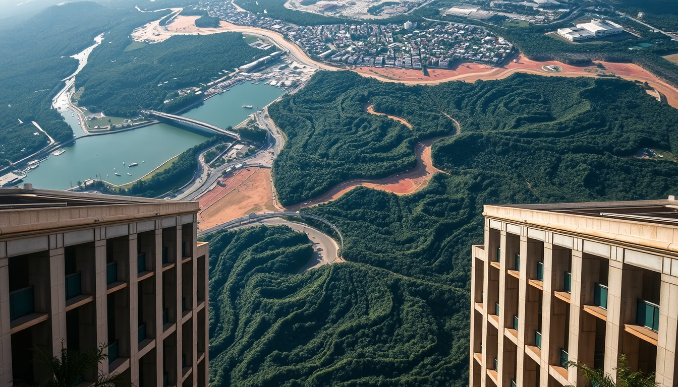
Satellites such as Landsat and Sentinel monitor deforestation in the Amazon in real time, providing crucial data for enforcement and environmental policies.
About this subject
Monitoring deforestation in the Amazon heavily relies on Earth observation satellites. Since the 1970s, the Landsat program (USA) has provided continuous imagery of the forest, enabling detection of changes in vegetation cover with 30-meter resolution. More recently, Sentinel-2 (Copernicus Programme, European Union) expanded capabilities with high-resolution multispectral images (10 meters) and a revisit time of 5 days, making it easier to identify new deforestation in remote areas.
In Brazil, the DETER system (Real-Time Deforestation Detection), operated by INPE, uses satellites such as Terra and Aqua (NASA) and CBERS-4 (Brazil-China partnership) for daily alerts. This system is essential for enforcement agencies like Ibama, which can dispatch teams to areas with recent signs of forest degradation. For example, data showed that in 2022 the legal deforestation rate in the Legal Amazon was 11,568 km², an 18% increase from 2021, according to INPE.
Satellites not only detect clear-cutting but also gradual degradation such as fires and selective logging. Sensors like MODIS (aboard Terra and Aqua) monitor heat sources and smoke, while synthetic aperture radar (SAR) on Sentinel-1 sees through clouds, ensuring continuous monitoring even during the rainy season. These technologies are fundamental for transparency and accountability, as the data are public and auditable.
Interestingly, the use of satellite imagery for Amazon deforestation monitoring has inspired similar projects in other tropical forests, such as the Congo Basin and Southeast Asia. Non-governmental organizations like Global Forest Watch integrate these datasets to alert about forest loss hotspots, contributing to global conservation campaigns. Despite advances, challenges remain: the high cloud cover in the Amazon demands advanced techniques like data fusion and artificial intelligence to fill temporal gaps.
Frequently Asked Questions
How do satellites detect deforestation in the Amazon?
Satellites like Landsat and Sentinel-2 capture multispectral images that highlight vegetation differences. Algorithms compare images over time to identify areas where forest has been removed or degraded. Brazil's DETER system issues daily alerts based on these detections.
How often do satellites monitor the Amazon?
Sentinel-2 revisits the same area every 5 days. Landsat 8 and 9 have a 16-day revisit cycle, but combining multiple satellites can achieve near-daily coverage. Sentinel-1's radar does not depend on sunlight or weather, ensuring data even under clouds.
Are satellite data reliable for deforestation enforcement?
Yes, the data are widely validated by research institutions and government agencies. INPE uses rigorous calibration and validation methods. However, very small areas or deforestation under dense canopy may be underestimated, requiring complementation with high-resolution imagery or drones.
Direct URL
https://pub-c7d6a6ea828543ac903a74a341ccb2e1.r2.dev/imagens/amazon-deforestation-satellite-architectural-photography-fresh6.avifHow to credit
Include a visible link back to UtilizAí. Copy one of the snippets below:
<a href="https://xn--utiliza-eza.com/en/midia/imagens/amazon-deforestation-satellite-architectural-photography-fresh6">Amazon deforestation satellite</a> by <a href="https://xn--utiliza-eza.com">UtilizAí</a>, licensed under <a href="https://creativecommons.org/licenses/by/4.0/">CC BY 4.0</a>.
[Amazon deforestation satellite](https://xn--utiliza-eza.com/en/midia/imagens/amazon-deforestation-satellite-architectural-photography-fresh6) by [UtilizAí](https://xn--utiliza-eza.com), CC BY 4.0
License: CC-BY-4.0





