Urban heat island map
1344×768 · AVIF · CC BY 4.0
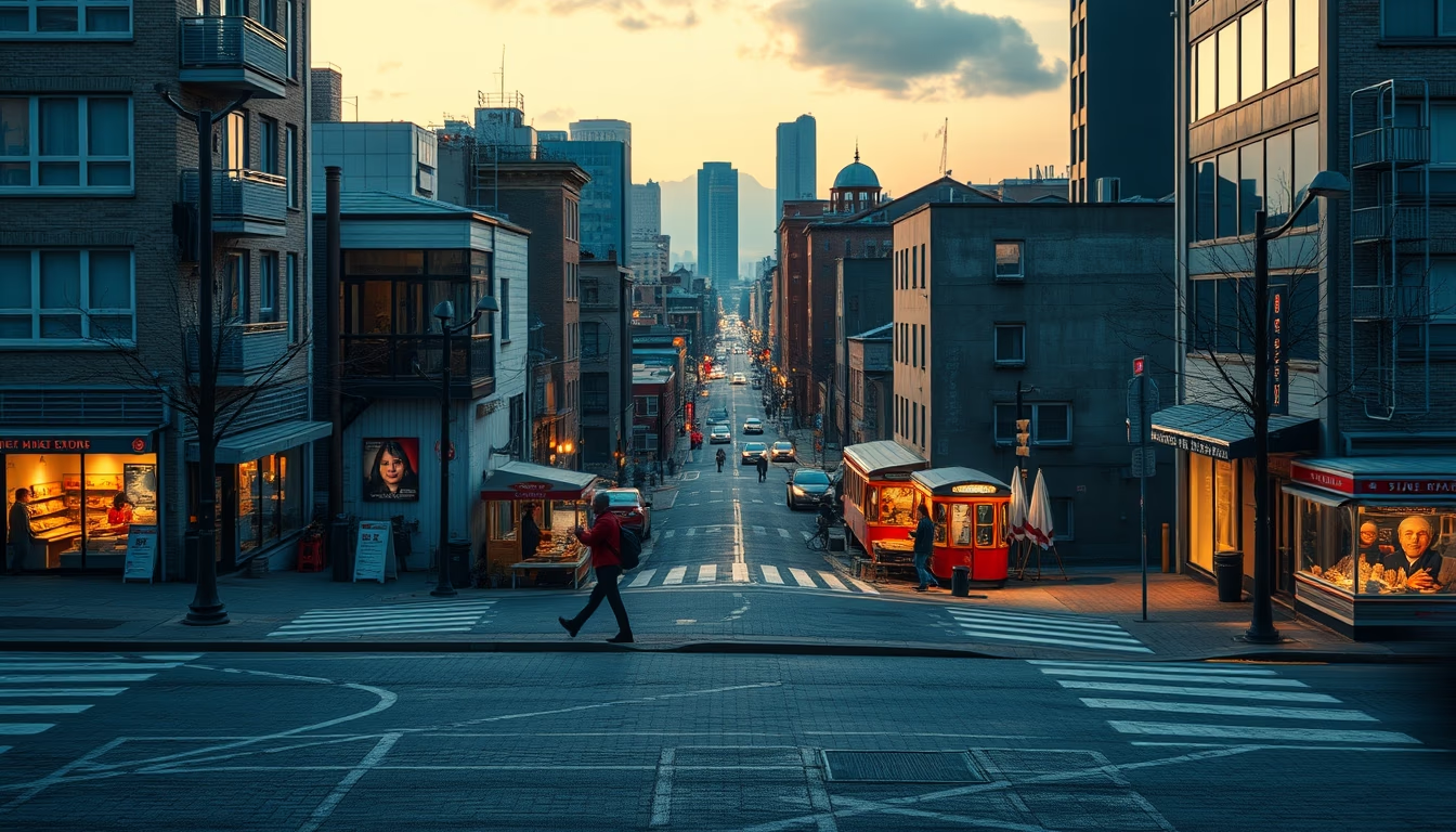
Urban heat island map generated by satellites reveals the temperature difference between urban and rural areas.
About this subject
The urban heat island phenomenon occurs when densely built areas record higher temperatures than surrounding rural zones. This effect is caused by the replacement of natural surfaces with asphalt, concrete, and buildings, which absorb and retain heat. Data from satellites such as MODIS (Moderate Resolution Imaging Spectroradiometer) and Landsat allow precise mapping of these thermal differences, generating maps that aid urban planning.
In Brazil, cities like São Paulo and Rio de Janeiro show significant thermal contrasts. Studies indicate that temperatures in central areas can be up to 6°C higher than in nearby parks or rural zones. This increase affects public health, raising cases of heatstroke and respiratory problems, besides increasing energy consumption for cooling. Soil sealing and lack of vegetation worsen the issue.
Mitigation measures include green roofs, cool pavements that reflect more solar radiation, and the creation of ventilation corridors. Satellites also monitor the effectiveness of these interventions over time. The urban heat island map is an essential tool for climate adaptation policies and sustainable development.
Frequently Asked Questions
What causes urban heat islands?
The main cause is the replacement of natural surfaces with heat-absorbing materials like asphalt and concrete, combined with lack of vegetation and building geometry that hinders ventilation.
How do satellites measure urban heat islands?
Satellites such as Landsat and MODIS use thermal infrared sensors to detect surface temperature. This data is processed into maps showing thermal differences between urban and rural areas.
What are the consequences of urban heat islands?
Increased energy consumption for air conditioning, worsened air quality, higher risk of heat-related illnesses, and thermal discomfort. They also contribute to local greenhouse effect.
Direct URL
https://pub-c7d6a6ea828543ac903a74a341ccb2e1.r2.dev/imagens/urban-heat-island-map-magazine-editorial-fresh1.avifHow to credit
Include a visible link back to UtilizAí. Copy one of the snippets below:
<a href="https://xn--utiliza-eza.com/en/midia/imagens/urban-heat-island-map-magazine-editorial-fresh1">Urban heat island map</a> by <a href="https://xn--utiliza-eza.com">UtilizAí</a>, licensed under <a href="https://creativecommons.org/licenses/by/4.0/">CC BY 4.0</a>.
[Urban heat island map](https://xn--utiliza-eza.com/en/midia/imagens/urban-heat-island-map-magazine-editorial-fresh1) by [UtilizAí](https://xn--utiliza-eza.com), CC BY 4.0
License: CC-BY-4.0





