Satellite earth view atmosphere
1344×768 · AVIF · CC BY 4.0
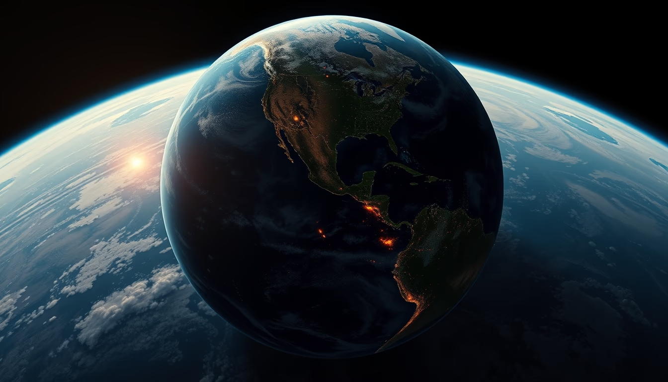
Earth's atmosphere as seen from satellites reveals essential gas layers continuously monitored by space technologies.
About this subject
Earth's atmosphere is a thin layer of gases surrounding the planet, composed mainly of nitrogen (78%) and oxygen (21%), along with argon, carbon dioxide, and other trace gases. This gaseous envelope extends about 10,000 km, but 99% of its mass lies within the first 30 km. Earth observation satellites such as NOAA, Meteosat, and Aqua capture images in different wavelengths to study composition, temperature, humidity, and dynamic movements of the atmosphere.
Wide-perspective satellite images, like those generated by orbital sensors, allow visualization of global phenomena: cold fronts, tropical cyclones, pollution plumes, aerosols, and cloud patterns. A classic example is the 'Blue Marble' image, showing an illuminated Earth and highlighting the thin blue line of the atmosphere, the troposphere, where most weather occurs.
Geostationary satellites, positioned about 36,000 km altitude, provide constant views of the same hemisphere, enabling real-time weather and climate monitoring. Polar-orbiting satellites like NASA's Terra and Aqua cross polar regions and provide detailed data on atmospheric chemistry and the ozone layer. Instruments like MODIS and VIIRS produce multispectral images revealing particles, gases such as ozone and sulfur dioxide, and even ocean evaporation.
Interestingly, Earth's atmosphere has no defined upper boundary; it gradually fades into the vacuum of space. The Kármán line at 100 km altitude is accepted as the boundary between atmosphere and space. Satellite data help measure global warming, hurricane forecasting, and air quality, making these technologies indispensable for science and society.
Frequently Asked Questions
What is the approximate thickness of Earth's atmosphere?
The atmosphere extends about 10,000 km, but 99% of its mass lies within the first 30 km, in the troposphere and stratosphere.
What can satellite images of the atmosphere reveal?
They reveal phenomena such as cold fronts, cyclones, pollution, aerosols, cloud patterns, and even the ozone layer.
Why does the atmosphere appear blue in satellite images?
The blue comes from Rayleigh scattering of sunlight by air molecules; in satellite images, the thin atmospheric layer appears as a blueish halo around Earth.
Direct URL
https://pub-c7d6a6ea828543ac903a74a341ccb2e1.r2.dev/imagens/satellite-earth-view-atmosphere-studio-still-life-fresh12.avifHow to credit
Include a visible link back to UtilizAí. Copy one of the snippets below:
<a href="https://xn--utiliza-eza.com/en/midia/imagens/satellite-earth-view-atmosphere-studio-still-life-fresh12">Satellite earth view atmosphere</a> by <a href="https://xn--utiliza-eza.com">UtilizAí</a>, licensed under <a href="https://creativecommons.org/licenses/by/4.0/">CC BY 4.0</a>.
[Satellite earth view atmosphere](https://xn--utiliza-eza.com/en/midia/imagens/satellite-earth-view-atmosphere-studio-still-life-fresh12) by [UtilizAí](https://xn--utiliza-eza.com), CC BY 4.0
License: CC-BY-4.0





