Satellite earth view atmosphere
1344×768 · AVIF · CC BY 4.0
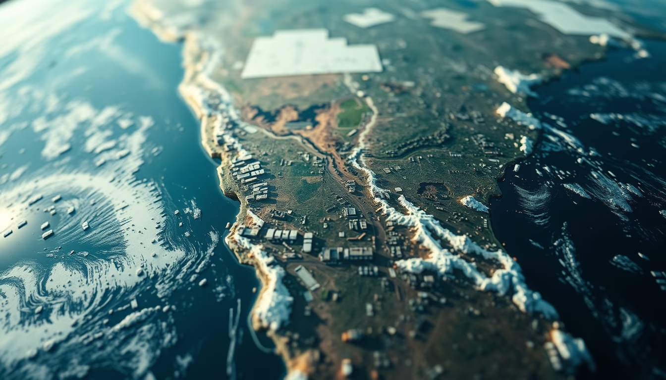
Satellite image showing Earth's atmosphere, highlighting the layers visible on the planet's horizon.
About this subject
Earth's atmosphere, as seen from space by satellites, reveals a thin gaseous layer enveloping the planet. Composed mainly of nitrogen (78%) and oxygen (21%), it extends about 10,000 km, but 99% of its mass lies within the first 30 km. This structure is divided into layers: troposphere (where weather phenomena occur), stratosphere (with the ozone layer), mesosphere, thermosphere, and exosphere. Satellites such as GOES-16 in geostationary orbit and Suomi NPP in polar orbit capture images that enable monitoring of clouds, hurricanes, and atmospheric composition.
The study of the atmosphere by satellites revolutionized meteorology and climatology. Sensors like VIIRS (Visible Infrared Imaging Radiometer Suite) measure solar radiation reflected and emitted by Earth, allowing weather forecasting and detection of aerosols, pollution, and natural events like volcanic eruptions. Additionally, satellites such as Aura monitor the ozone layer, crucial for filtering ultraviolet radiation. Since the first weather satellites, like TIROS-1 (1960), image resolution and frequency have dramatically increased.
The appearance of the atmosphere in satellite images varies with viewing angle. In limb views, the stratosphere and mesosphere appear as thin luminous bands due to scattering of sunlight. In these images, the color gradient from dark space to light blue atmosphere reflects increasing density. Continuous observation by geostationary satellites allows viewing cloud motion and Earth's rotation, essential for monitoring tropical storms and climate change.
Frequently Asked Questions
Why does the atmosphere appear blue in satellite images?
The blue tone is due to Rayleigh scattering of sunlight by air molecules, which scatter shorter wavelengths (blue) more intensely. In limb views, the atmosphere appears brighter near the surface because density is higher.
Which satellites currently monitor Earth's atmosphere?
Examples include GOES-16 (USA, geostationary), Meteosat (Europe), Himawari (Japan), and NOAA series (polar orbit). The Aura satellite (NASA) monitors the ozone layer and pollutants.
What is the 'thin blue line' seen on Earth's horizon?
It is the air layer surrounding the planet, only a few kilometers thick. This thin line highlights the fragility of the atmosphere compared to Earth's size and the vastness of space.
Direct URL
https://pub-c7d6a6ea828543ac903a74a341ccb2e1.r2.dev/imagens/satellite-earth-view-atmosphere-macro-closeup-fresh2.avifHow to credit
Include a visible link back to UtilizAí. Copy one of the snippets below:
<a href="https://xn--utiliza-eza.com/en/midia/imagens/satellite-earth-view-atmosphere-macro-closeup-fresh2">Satellite earth view atmosphere</a> by <a href="https://xn--utiliza-eza.com">UtilizAí</a>, licensed under <a href="https://creativecommons.org/licenses/by/4.0/">CC BY 4.0</a>.
[Satellite earth view atmosphere](https://xn--utiliza-eza.com/en/midia/imagens/satellite-earth-view-atmosphere-macro-closeup-fresh2) by [UtilizAí](https://xn--utiliza-eza.com), CC BY 4.0
License: CC-BY-4.0





