Satellite earth view atmosphere
1344×768 · AVIF · CC BY 4.0
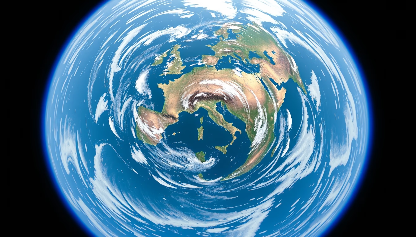
Satellite image of Earth's atmosphere in a fish-eye view, highlighting the thin gaseous layer that protects the planet and sustains life.
About this subject
Earth's atmosphere is a gaseous layer enveloping the planet, extending about 480 km in altitude. Composed mainly of nitrogen (78%) and oxygen (21%), it performs crucial functions: regulating temperature, blocking ultraviolet radiation, and enabling liquid water and life. Its structure is divided into layers: troposphere (up to 12 km), stratosphere (12, 50 km), mesosphere (50, 80 km), thermosphere (80, 700 km), and exosphere (above 700 km). The Kármán line at 100 km is considered the boundary between the atmosphere and outer space.
Weather satellites, such as the GOES and Meteosat series, continuously monitor the atmosphere using infrared and visible sensors. These images are essential for weather forecasting, hurricane detection, and climate change studies. The fish-eye view captured by geostationary satellites shows Earth's curvature and the thinness of the atmosphere, which on a planetary scale is akin to the skin of an apple. This perspective highlights the fragility of our gaseous shield.
Atmospheric data reveal phenomena such as the ozone layer (between 15 and 35 km), which absorbs 97% of UV-B radiation, and the greenhouse effect, caused by gases like CO2 and methane. In the last 50 years, CO2 concentration has increased by more than 30%, intensifying global warming. Satellite observations also measure pollution, clouds, and wind patterns. NASA's Aura mission, for example, studies the chemical composition of the atmosphere, while ESA's Copernicus programme provides data on air quality.
Frequently Asked Questions
Why does the atmosphere appear so thin in satellite images?
The atmosphere is extremely thin compared to Earth's radius. About 99% of the atmospheric mass lies below 30 km altitude, and its thickness is less than 1% of the planetary diameter, giving the appearance of a thin blue layer.
What are the layers of the atmosphere and why are they important?
The atmosphere is divided into troposphere, stratosphere, mesosphere, thermosphere, and exosphere. The troposphere hosts weather and breathing; the stratosphere contains the ozone layer; the mesosphere burns meteors; the thermosphere features auroras; and the exosphere transitions to space.
How do satellites monitor the Earth's atmosphere?
Satellites use sensors that measure radiation at different wavelengths. Visible cameras record clouds and water vapor; infrared sensors measure temperature; spectrometers detect gases like CO2 and ozone. Data are processed to generate weather and climate maps.
Direct URL
https://pub-c7d6a6ea828543ac903a74a341ccb2e1.r2.dev/imagens/satellite-earth-view-atmosphere-fish-eye-wide-angle-fresh15.avifHow to credit
Include a visible link back to UtilizAí. Copy one of the snippets below:
<a href="https://xn--utiliza-eza.com/en/midia/imagens/satellite-earth-view-atmosphere-fish-eye-wide-angle-fresh15">Satellite earth view atmosphere</a> by <a href="https://xn--utiliza-eza.com">UtilizAí</a>, licensed under <a href="https://creativecommons.org/licenses/by/4.0/">CC BY 4.0</a>.
[Satellite earth view atmosphere](https://xn--utiliza-eza.com/en/midia/imagens/satellite-earth-view-atmosphere-fish-eye-wide-angle-fresh15) by [UtilizAí](https://xn--utiliza-eza.com), CC BY 4.0
License: CC-BY-4.0





