Satellite earth view atmosphere
1344×768 · AVIF · CC BY 4.0
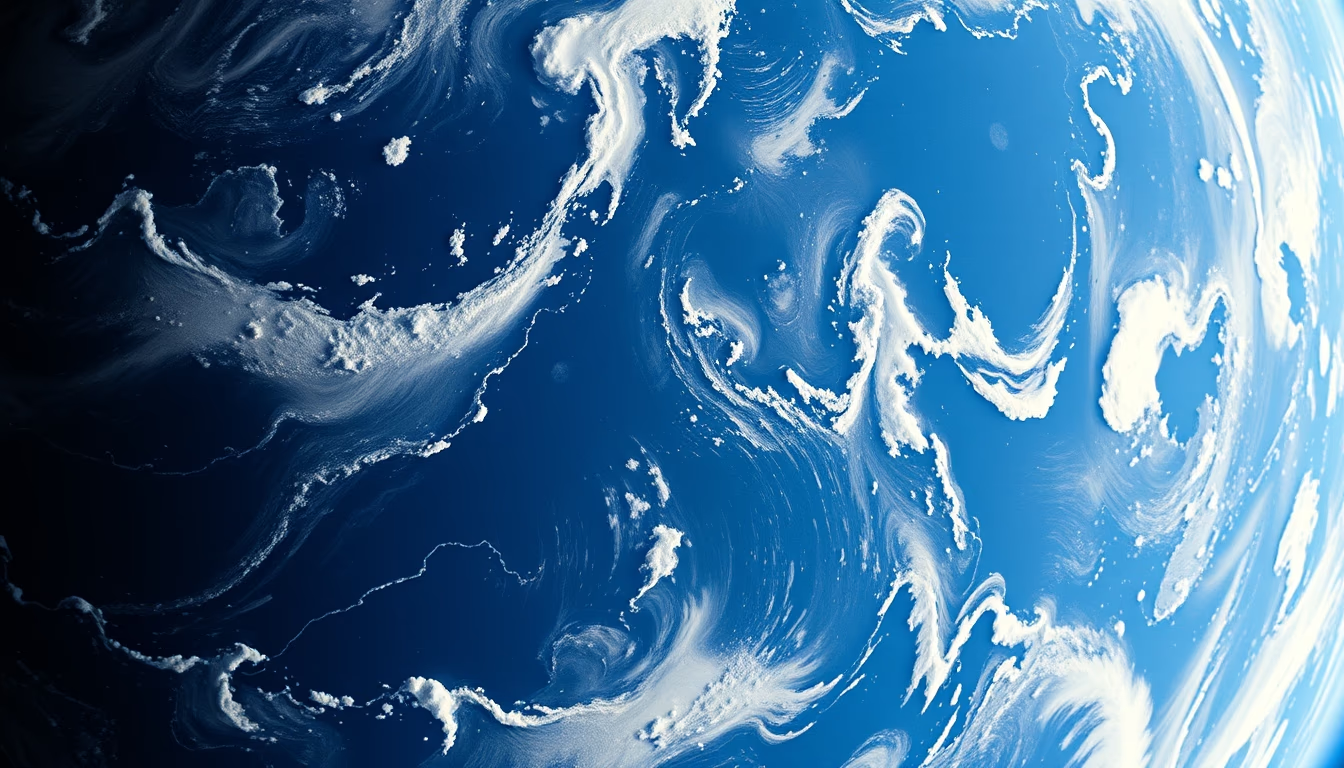
Satellite image of Earth showing its atmosphere, highlighting weather patterns and the thin gaseous layer surrounding the planet.
About this subject
Satellite images of Earth with a view of the atmosphere are essential tools for meteorologists and climate scientists. They allow observation of cloud dynamics, hurricanes, cold fronts, and the distribution of aerosols on a global scale. Satellites like GOES-16 (USA) and Himawari-8 (Japan) capture images in visible and infrared spectra every 10 to 30 minutes, providing real-time data for weather forecasting and environmental monitoring.
Earth's atmosphere is composed of 78% nitrogen, 21% oxygen, and trace amounts of other gases, plus water vapor and suspended particles. Its average thickness is about 100 km, but most of its mass lies in the first 16 km (troposphere). Polar-orbiting satellites like NOAA-20 can map atmospheric composition, including ozone and pollutant levels.
The 'film grain' effect applied to such images gives a vintage or artistic look, reminiscent of early satellite photographs from the 1960s, when resolution was low and noise was unavoidable. Today, this effect is used aesthetically to evoke nostalgia or visual authenticity.
Satellite monitoring of the atmosphere is crucial for understanding climate change, predicting extreme events, and managing natural resources. Data from these sensors feed numerical models that simulate future scenarios, aiding decision-making in agriculture, aviation, and civil defense.
Frequently Asked Questions
Why are satellite images of the atmosphere important?
They are essential for weather forecasting, hurricane monitoring, climate change studies, and pollution detection. They allow observation of large-scale patterns not visible from the ground.
How do satellites capture images of the atmosphere?
They use sensors that measure radiation reflected or emitted by Earth at different wavelengths. Visible images show clouds and vegetation; infrared reveals temperature and humidity.
What causes the film grain effect in some satellite images?
It can result from sensor noise, low light, or data compression. It is also applied artificially as an aesthetic effect to create a vintage or authentic look.
Direct URL
https://pub-c7d6a6ea828543ac903a74a341ccb2e1.r2.dev/imagens/satellite-earth-view-atmosphere-film-grain-authentic-fresh10.avifHow to credit
Include a visible link back to UtilizAí. Copy one of the snippets below:
<a href="https://xn--utiliza-eza.com/en/midia/imagens/satellite-earth-view-atmosphere-film-grain-authentic-fresh10">Satellite earth view atmosphere</a> by <a href="https://xn--utiliza-eza.com">UtilizAí</a>, licensed under <a href="https://creativecommons.org/licenses/by/4.0/">CC BY 4.0</a>.
[Satellite earth view atmosphere](https://xn--utiliza-eza.com/en/midia/imagens/satellite-earth-view-atmosphere-film-grain-authentic-fresh10) by [UtilizAí](https://xn--utiliza-eza.com), CC BY 4.0
License: CC-BY-4.0





