Satellite earth view atmosphere
1344×768 · AVIF · CC BY 4.0
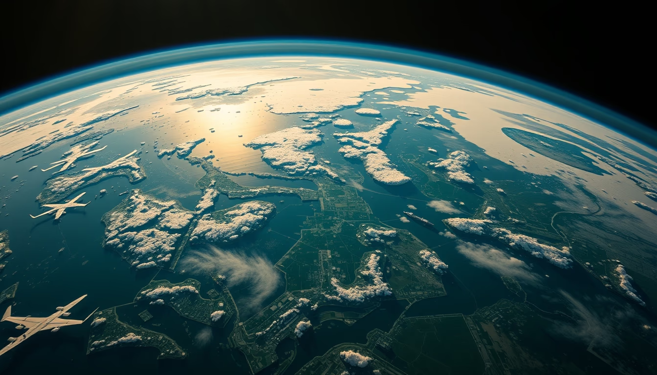
Satellite image showing Earth's atmosphere, revealing the gaseous layers that envelop the planet and protect life.
About this subject
Earth's atmosphere is a layer of gases held by gravity, primarily composed of nitrogen (78%) and oxygen (21%), with traces of argon, carbon dioxide, and water vapor. It extends about 10,000 km in altitude, but 99% of its mass lies below 30 km. This thin envelope is vital for life: it filters ultraviolet radiation, regulates temperature via the greenhouse effect, and enables respiration.
Earth observation satellites, such as the GOES (Geostationary Operational Environmental Satellite) series and Europe's Meteosat, continuously monitor the atmosphere for weather patterns, pollution, and extreme events. Visible spectrum satellite images show clouds, hurricanes, and the planet's curvature, while infrared sensors detect temperature and humidity. Data from NASA's Aqua and Terra satellites help measure aerosol concentrations and greenhouse gases.
Satellite observation revolutionized meteorology and climatology. Before satellites, weather forecasting relied on ground stations and weather balloons. Today, geostationary satellites provide images every 5 to 15 minutes, enabling tracking of storms and predicting their paths. The Aura mission, for example, studies atmospheric chemistry, including the ozone layer. The Copernicus Sentinel-5P satellite maps pollutants like nitrogen dioxide and carbon monoxide on a global scale.
Fun fact: the first image of Earth from space was taken in 1946 by a camera mounted on a captured German V-2 rocket. Since then, technology has advanced to multispectral and hyperspectral sensors that detail atmospheric composition. Despite its apparent fragility, the atmosphere recovers from disturbances like volcanic eruptions and human emissions, but satellite monitoring is crucial for understanding climate change and protecting the planet.
Frequently Asked Questions
Why is the atmosphere important for life on Earth?
The atmosphere filters ultraviolet radiation, maintains a stable average temperature through the greenhouse effect, and provides oxygen for respiration. Without it, life as we know it would not exist.
How do satellites monitor the atmosphere?
Satellites like GOES and Meteosat use visible and infrared sensors to capture cloud images and measure temperature, humidity, and gases. Missions like Aura and Sentinel-5P analyze chemical composition and pollution.
What was the first image of Earth from space?
The first image was taken in 1946 by a camera on a captured German V-2 rocket at over 100 km altitude. It showed Earth's curvature for the first time.
Direct URL
https://pub-c7d6a6ea828543ac903a74a341ccb2e1.r2.dev/imagens/satellite-earth-view-atmosphere-aerial-drone-shot-fresh1.avifHow to credit
Include a visible link back to UtilizAí. Copy one of the snippets below:
<a href="https://xn--utiliza-eza.com/en/midia/imagens/satellite-earth-view-atmosphere-aerial-drone-shot-fresh1">Satellite earth view atmosphere</a> by <a href="https://xn--utiliza-eza.com">UtilizAí</a>, licensed under <a href="https://creativecommons.org/licenses/by/4.0/">CC BY 4.0</a>.
[Satellite earth view atmosphere](https://xn--utiliza-eza.com/en/midia/imagens/satellite-earth-view-atmosphere-aerial-drone-shot-fresh1) by [UtilizAí](https://xn--utiliza-eza.com), CC BY 4.0
License: CC-BY-4.0





