Hurricane spiral satellite
1344×768 · AVIF · CC BY 4.0
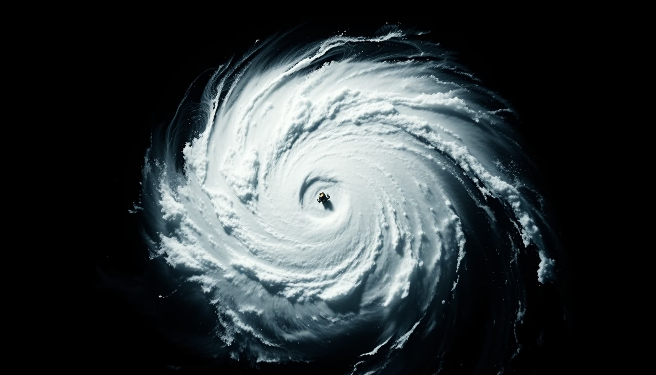
Satellite images reveal the spiral structure of hurricanes, enabling accurate forecasts and global climate studies.
About this subject
Hurricanes are intense tropical storms that form over warm ocean waters, typically above 26.5 °C. Their most striking feature is the spiral shape visible in satellite images, showing cloud bands rotating around a low-pressure center, the eye. The hurricane's eye is a calm, clear area surrounded by the eyewall, where winds are strongest.
Meteorological satellites, such as the GOES series (USA) and Meteosat (Europe), continuously monitor these phenomena. They capture images in different wavelengths, including infrared, which allows measuring cloud-top temperatures and estimating storm intensity. Satellite data is crucial for issuing warnings days in advance, saving lives.
Hurricane formation depends on several factors: warm water, humidity, converging low-level winds, and weak vertical wind shear. Earth's rotation (Coriolis effect) causes the storm to spin counterclockwise in the Northern Hemisphere and clockwise in the Southern. Hurricanes are called typhoons in the Northwest Pacific and cyclones in the Indian and South Pacific Oceans.
Historical records show that hurricanes can reach categories 1 to 5 on the Saffir-Simpson scale, with winds above 252 km/h in category 5. The most intense hurricane ever recorded was Patricia (2015) in the Eastern Pacific, with winds of 345 km/h. Climate change may be increasing the frequency of high-intensity hurricanes due to ocean warming.
Frequently Asked Questions
How do satellites detect hurricanes?
Meteorological satellites use infrared and visible sensors to capture cloud images and measure temperatures. The spiral shape and eye of the hurricane are easily identified, allowing tracking of its path and intensity.
What is the difference between a hurricane, typhoon, and cyclone?
They are the same phenomenon but named differently by region: hurricane in the Atlantic and Eastern Pacific, typhoon in the Northwest Pacific, and cyclone in the Indian and South Pacific Oceans.
Can global warming increase hurricane frequency?
Studies indicate that ocean warming can intensify hurricanes, making them more powerful, though the total number of storms may not necessarily increase.
Direct URL
https://pub-c7d6a6ea828543ac903a74a341ccb2e1.r2.dev/imagens/hurricane-spiral-satellite-minimalist-composition-fresh2.avifHow to credit
Include a visible link back to UtilizAí. Copy one of the snippets below:
<a href="https://xn--utiliza-eza.com/en/midia/imagens/hurricane-spiral-satellite-minimalist-composition-fresh2">Hurricane spiral satellite</a> by <a href="https://xn--utiliza-eza.com">UtilizAí</a>, licensed under <a href="https://creativecommons.org/licenses/by/4.0/">CC BY 4.0</a>.
[Hurricane spiral satellite](https://xn--utiliza-eza.com/en/midia/imagens/hurricane-spiral-satellite-minimalist-composition-fresh2) by [UtilizAí](https://xn--utiliza-eza.com), CC BY 4.0
License: CC-BY-4.0





