Amazon deforestation satellite
1344×768 · AVIF · CC BY 4.0
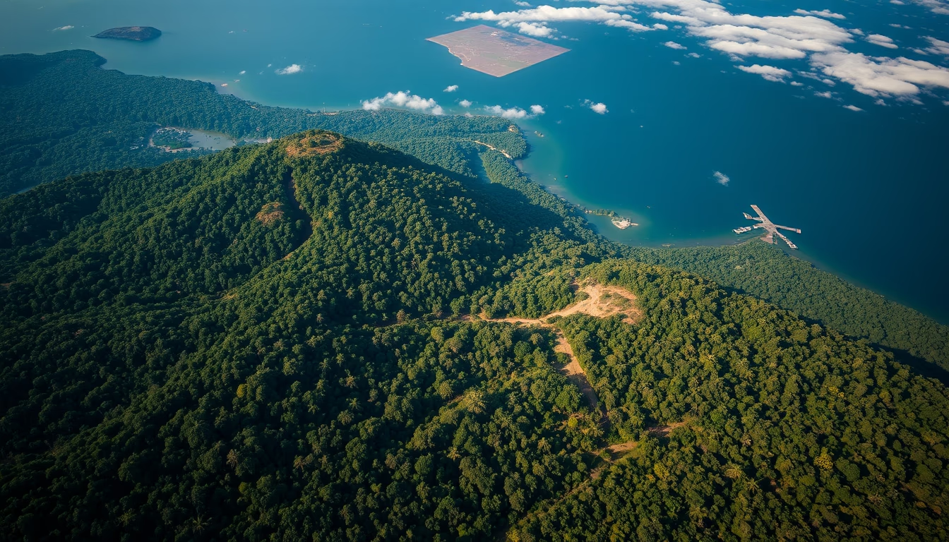
Satellites like Landsat and Sentinel monitor deforestation in the Amazon, providing crucial data for environmental policies.
About this subject
Satellite monitoring of deforestation in the Amazon is an essential tool for conserving the world's largest tropical rainforest. Since the 1980s, Brazil's National Institute for Space Research (INPE) has developed systems such as PRODES (Program for Deforestation Calculation of the Amazon) and DETER (Real-Time Deforestation Detection System). PRODES uses images from satellites like Landsat (NASA/USGS) and Sentinel (ESA) to map deforested areas annually with high precision, allowing identification of long-term trends. DETER operates with medium-resolution sensors like MODIS (NASA) and WFOV/VIRS (CBERS), providing near-daily alerts for rapid enforcement actions.
The importance of these systems extends beyond Brazil. International organizations such as the World Resources Institute integrate data from multiple satellites into platforms like Global Forest Watch, which monitors forest cover loss in near real time. Radar technology, as from the ALOS PALSAR satellite (JAXA), complements optical observation in frequently cloudy regions common in the Amazon. Recent advances include the use of artificial intelligence to detect deforestation patterns and provide early warnings.
Historically, satellite data has been decisive in reducing deforestation. Between 2004 and 2012, Brazil managed to slash deforestation rates by over 80%, thanks to policies based on satellite monitoring. However, deforestation has increased again in recent years, highlighting the ongoing need for vigilance. Satellites not only measure forest loss but also help identify fires, illegal mining, and agricultural expansion, providing evidence for legal actions and conservation campaigns.
Frequently Asked Questions
How do satellites detect deforestation in the Amazon?
Satellites with optical sensors capture multispectral images that highlight changes in vegetation. By comparing images from different dates, algorithms identify areas where forest has been removed. Radar sensors can penetrate clouds, allowing continuous monitoring.
What is the difference between the PRODES and DETER systems?
PRODES provides annual deforestation data with high precision using high-resolution images like Landsat. DETER uses lower-resolution sensors but generates daily alerts for real-time enforcement, prioritizing speed over accuracy.
Are satellite deforestation data accessible to the public?
Yes. INPE makes PRODES and DETER data freely available on its website. International platforms like Global Forest Watch also offer open access to maps and analyses of global deforestation.
Direct URL
https://pub-c7d6a6ea828543ac903a74a341ccb2e1.r2.dev/imagens/amazon-deforestation-satellite-magazine-editorial-fresh2.avifHow to credit
Include a visible link back to UtilizAí. Copy one of the snippets below:
<a href="https://xn--utiliza-eza.com/en/midia/imagens/amazon-deforestation-satellite-magazine-editorial-fresh2">Amazon deforestation satellite</a> by <a href="https://xn--utiliza-eza.com">UtilizAí</a>, licensed under <a href="https://creativecommons.org/licenses/by/4.0/">CC BY 4.0</a>.
[Amazon deforestation satellite](https://xn--utiliza-eza.com/en/midia/imagens/amazon-deforestation-satellite-magazine-editorial-fresh2) by [UtilizAí](https://xn--utiliza-eza.com), CC BY 4.0
License: CC-BY-4.0





