Amazon deforestation satellite
1344×768 · AVIF · CC BY 4.0
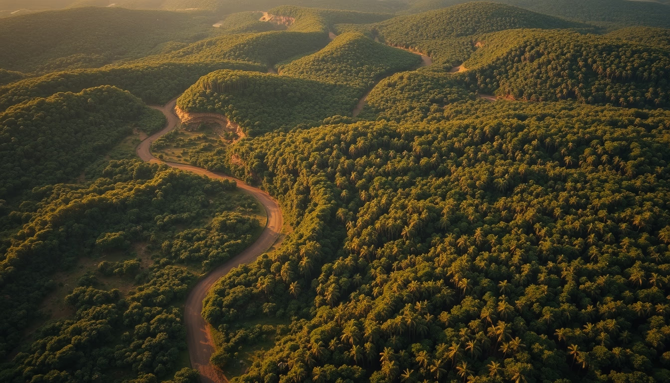
Monitoring satellites such as CBERS and Sentinel capture real-time deforestation in the Legal Amazon, providing crucial data for enforcement.
About this subject
Monitoring deforestation in the Amazon relies on constellations of Earth observation satellites. Key among them are the CBERS (China-Brazil Earth Resources Satellite) program, a partnership between Brazil and China, and the Sentinel satellites from Europe's Copernicus program. These satellites carry multispectral sensors that capture images in different spectral bands, allowing distinction between native forest and deforested areas. Spatial resolution ranges from 10 to 30 meters, sufficient to detect clearings as small as 0.5 hectares, the typical size of illegal deforestation.
Detection is based on time-series image comparison. Algorithms identify abrupt reductions in vegetation indices like NDVI, signaling clear-cutting or progressive degradation. Brazil's DETER system (Real-Time Deforestation Detection), operated by INPE, issues near-daily alerts for areas larger than 1 hectare. Meanwhile, PRODES produces annual high-precision mapping using satellites such as Landsat and CBERS. In 2022, PRODES recorded 11,568 km² of deforestation in the Legal Amazon, the highest in 15 years.
These data are vital for enforcement actions by Ibama and public policies like the Action Plan for Prevention and Control of Deforestation in the Legal Amazon (PPCDAm). International bodies and NGOs also use the imagery to verify climate commitments. Monitoring faces challenges such as persistent cloud cover, requiring radar sensors like PALSAR on the ALOS satellite, which can penetrate clouds and detect changes in forest structure even under overcast conditions.
Frequently Asked Questions
How do satellites detect deforestation in the Amazon?
They compare multispectral images over time. A drop in the NDVI index indicates vegetation loss. Systems like DETER and PRODES from INPE process this data to generate alerts.
What spatial resolution do monitoring satellites have?
It ranges from 10 meters (Sentinel-2) to 30 meters (Landsat and CBERS), sufficient to detect clearings larger than 0.5 hectares.
Who operates the main Amazon monitoring satellites?
CBERS is operated jointly by INPE (Brazil) and CAST (China). Sentinel satellites are managed by ESA (European Space Agency). Landsat is operated by NASA and USGS (USA).
Direct URL
https://pub-c7d6a6ea828543ac903a74a341ccb2e1.r2.dev/imagens/amazon-deforestation-satellite-cinematic-wide-shot-fresh16.avifHow to credit
Include a visible link back to UtilizAí. Copy one of the snippets below:
<a href="https://xn--utiliza-eza.com/en/midia/imagens/amazon-deforestation-satellite-cinematic-wide-shot-fresh16">Amazon deforestation satellite</a> by <a href="https://xn--utiliza-eza.com">UtilizAí</a>, licensed under <a href="https://creativecommons.org/licenses/by/4.0/">CC BY 4.0</a>.
[Amazon deforestation satellite](https://xn--utiliza-eza.com/en/midia/imagens/amazon-deforestation-satellite-cinematic-wide-shot-fresh16) by [UtilizAí](https://xn--utiliza-eza.com), CC BY 4.0
License: CC-BY-4.0





