Satellite earth view atmosphere
1344×768 · AVIF · CC BY 4.0
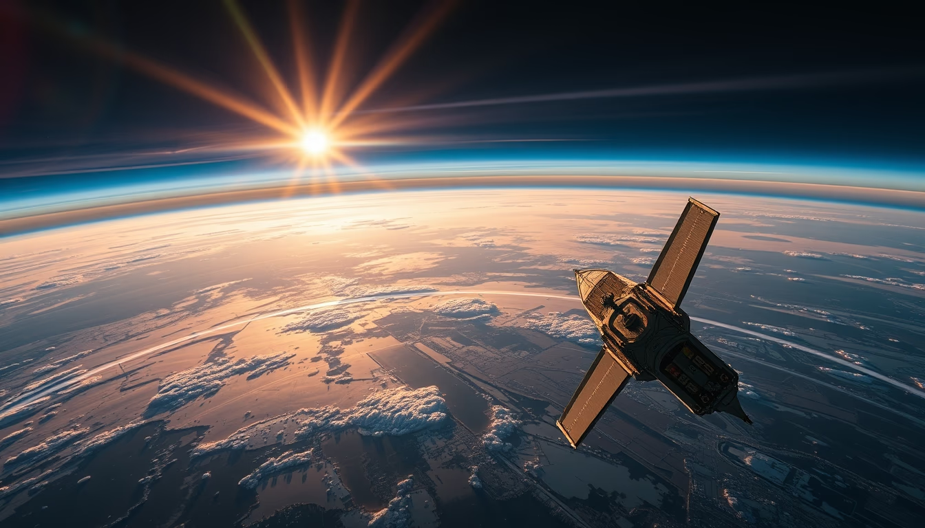
Satellite image reveals Earth's atmosphere in long exposure showcasing layers and global phenomena.
About this subject
Earth observation satellites, such as the GOES series (United States) and Himawari (Japan), continuously orbit the planet to monitor the atmosphere. Long exposure photography, typically used at night, captures faint emissions like airglow and polar auroras that would be invisible in shorter shots. This technique is crucial for studying atmospheric layers from the troposphere to the thermosphere.
Earth's atmosphere is composed of 78% nitrogen, 21% oxygen, and traces of other gases like argon and water vapor. Satellites equipped with multispectral sensors detect variations in reflected and emitted solar radiation, generating data on temperature, humidity, aerosol concentration, and greenhouse gases. Long exposure increases sensitivity to these weak signals, aiding weather forecasting and climate change monitoring.
In Brazil, the CBERS program (China-Brazil Earth Resources Satellite) provides remote sensing imagery of the Amazon and other regions. While not exclusively atmospheric, these satellites contribute to studying fires and deforestation that directly impact atmospheric composition. Long exposure views also highlight phenomena like noctilucent clouds and light arcs, detailing the interaction between solar radiation and gases.
Satellite imaging technology has advanced rapidly: early meteorological satellites in the 1960s captured low-resolution images, while today's sensors like MODIS (Moderate Resolution Imaging Spectroradiometer) produce data at 250-meter resolution. Combining multiple orbits and prolonged exposures enables global composites that reveal seasonal patterns and extreme events such as storms and volcanic eruptions, essential for safety and environmental planning.
Frequently Asked Questions
What is airglow and why is it captured in long exposure?
Airglow is a faint luminescence in the upper atmosphere caused by the recombination of atoms ionized by sunlight. Because its intensity is low, only long exposures can record it in detail.
Which satellites are used for global atmospheric monitoring?
Satellites like GOES (USA), Himawari (Japan), Meteosat (Europe), and NASA's Terra and Aqua with the MODIS sensor are widely used for real-time atmospheric observation.
How does long exposure help in weather forecasting?
It captures subtle variations in infrared and visible radiation, improving detection of thin clouds, aerosols, and water vapor, which are critical for accurate weather models.
Direct URL
https://pub-c7d6a6ea828543ac903a74a341ccb2e1.r2.dev/imagens/satellite-earth-view-atmosphere-long-exposure-fresh13.avifHow to credit
Include a visible link back to UtilizAí. Copy one of the snippets below:
<a href="https://xn--utiliza-eza.com/en/midia/imagens/satellite-earth-view-atmosphere-long-exposure-fresh13">Satellite earth view atmosphere</a> by <a href="https://xn--utiliza-eza.com">UtilizAí</a>, licensed under <a href="https://creativecommons.org/licenses/by/4.0/">CC BY 4.0</a>.
[Satellite earth view atmosphere](https://xn--utiliza-eza.com/en/midia/imagens/satellite-earth-view-atmosphere-long-exposure-fresh13) by [UtilizAí](https://xn--utiliza-eza.com), CC BY 4.0
License: CC-BY-4.0





