Satellite earth view atmosphere
1344×768 · AVIF · CC BY 4.0
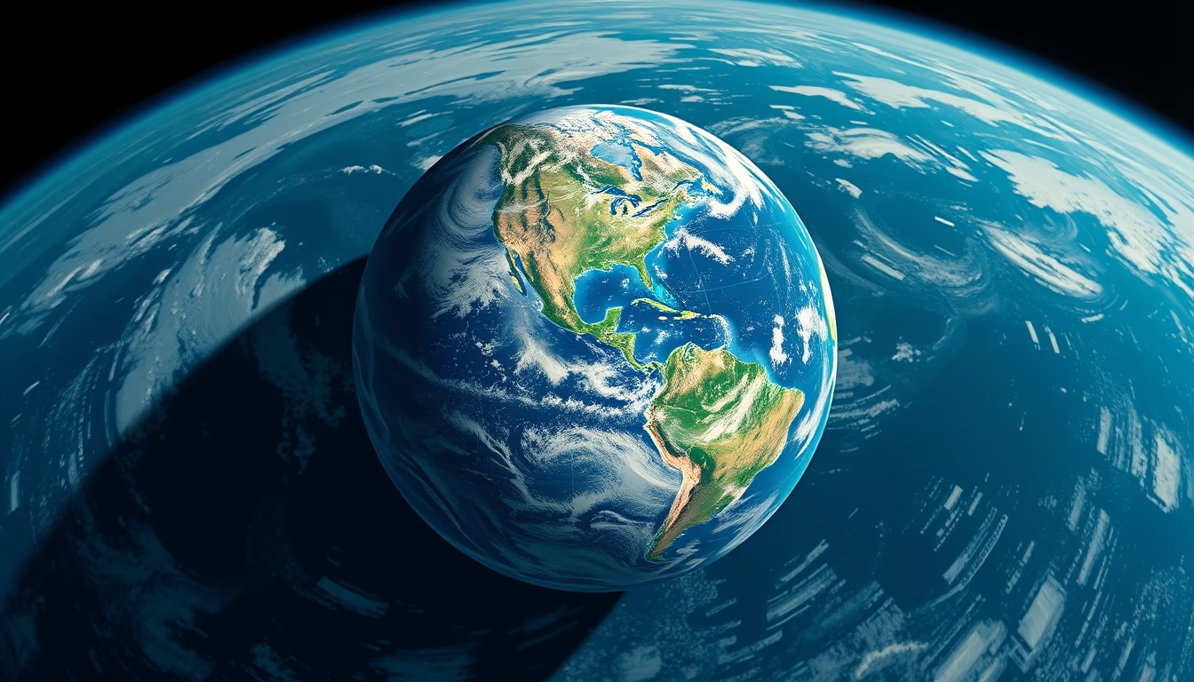
Earth's atmosphere as seen by satellites enables real-time monitoring of weather, gases, and global phenomena.
About this subject
Observation of Earth's atmosphere from satellites is essential for meteorology and climate science. The first weather satellites, such as TIROS-1 (1960), revolutionized forecasting by providing synoptic cloud images. Today, constellations like GOES (USA), Meteosat (Europe), and Himawari (Japan) continuously record atmospheric systems, measuring temperature, humidity, aerosols, and chemical composition. Instruments like MODIS (aboard Terra and Aqua) map global distribution of carbon dioxide and methane, helping quantify anthropogenic emissions.
The thin blueish atmospheric layer visible in satellite images extends approximately 480 km to the exosphere, but 80% of its mass is within the first 15 km (troposphere). Polar-orbiting satellites (e.g., NOAA program) provide vertical profiles of temperature and water vapor globally, while geostationary satellites track hurricanes and cold fronts. Measuring ultraviolet radiation, monitoring the ozone hole over Antarctica, and tracing volcanic plumes are critical applications.
Satellite data feed numerical weather prediction models, enabling forecasts up to 15 days ahead and supporting IPCC reports on climate change. The Aura mission, for instance, studies atmospheric pollution and tropospheric ozone. Landsat and similar remote sensing satellites detect wildfires and deforestation, which affect atmospheric composition. Integration with artificial intelligence now improves pattern recognition of extreme events.
Fun fact: from space, the atmosphere's rainbow is invisible to the naked eye; its blue color results from Rayleigh scattering of sunlight by nitrogen and oxygen molecules. The orange twilight line seen in some images marks the transition between the mesosphere and thermosphere, where aurorae occur. Satellites like the ISS capture these nuances, inspiring understanding of the thin shell that sustains life on Earth.
Frequently Asked Questions
What do satellites measure in the atmosphere?
Satellites measure temperature, humidity, pressure, chemical composition (ozone, carbon dioxide, methane), cloud cover, aerosols, solar and terrestrial radiation, and vertical profiles of wind and water vapor.
How many satellites currently monitor the atmosphere?
There are dozens of active weather and research satellites, including GOES, Meteosat, Himawari, NOAA, Terra, Aqua, Aura, Sentinel, and others, operated by space agencies and private companies.
How do satellite images help in weather forecasting?
They provide real-time data on cloud systems, fronts, storms, hurricanes, and wind patterns, feeding numerical models that calculate atmospheric evolution with high accuracy.
Direct URL
https://pub-c7d6a6ea828543ac903a74a341ccb2e1.r2.dev/imagens/satellite-earth-view-atmosphere-isometric-flat-lay-fresh14.avifHow to credit
Include a visible link back to UtilizAí. Copy one of the snippets below:
<a href="https://xn--utiliza-eza.com/en/midia/imagens/satellite-earth-view-atmosphere-isometric-flat-lay-fresh14">Satellite earth view atmosphere</a> by <a href="https://xn--utiliza-eza.com">UtilizAí</a>, licensed under <a href="https://creativecommons.org/licenses/by/4.0/">CC BY 4.0</a>.
[Satellite earth view atmosphere](https://xn--utiliza-eza.com/en/midia/imagens/satellite-earth-view-atmosphere-isometric-flat-lay-fresh14) by [UtilizAí](https://xn--utiliza-eza.com), CC BY 4.0
License: CC-BY-4.0





