Satellite earth view atmosphere
1344×768 · AVIF · CC BY 4.0
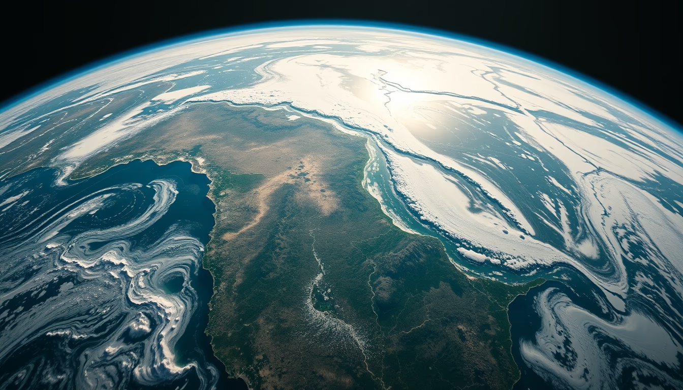
Satellite images of Earth reveal the complexity of the atmosphere, with clouds, air currents, and weather phenomena visible from space.
About this subject
Earth observation satellites, such as those from the GOES (Geostationary Operational Environmental Satellite) series and MODIS (Moderate Resolution Imaging Spectroradiometer) aboard Terra and Aqua, capture detailed images of the Earth's atmosphere at different wavelengths. These data allow monitoring of cloud formation, hurricanes, cold fronts, and pollutant dispersion. Satellite imagery is essential for weather forecasting, natural disaster alerts, and long-term climate studies.
The Earth's atmosphere consists of layers: troposphere, stratosphere, mesosphere, thermosphere, and exosphere. Satellites in low Earth orbit (LEO) and geostationary orbit provide complementary views. While geostationary satellites remain over the same point, capturing temporal evolution, polar-orbiting satellites map the entire planet daily. A notable example is the visualization of the ozone layer and auroras borealis and australis, recorded by satellites like Suomi NPP.
Interestingly, the first image of Earth from space was taken in 1946 by a camera mounted on a V-2 rocket. Today, constellations like GOES-16 and Himawari-8 provide images every 10 minutes at resolutions down to 0.5 km. These technologies enable detection of subtle changes in atmospheric composition, such as carbon dioxide and aerosol concentrations, crucial for understanding climate change.
Satellite imagery also benefits agriculture, aviation, and wildfire monitoring. For instance, the VIIRS sensor aboard Suomi NPP detects fire hotspots and smoke plumes, aiding in wildfire fighting. The atmosphere, seen from space, is not only beautiful but a continuous source of vital data for humanity.
Frequently Asked Questions
How do satellites capture images of the atmosphere?
Satellites use sensors that detect electromagnetic radiation in different bands, such as visible, infrared, and microwave. These sensors convert radiation into images that reveal clouds, temperature, humidity, and atmospheric composition.
What can we observe in the atmosphere from satellites?
We can observe clouds, storms, hurricanes, auroras, pollution, volcanic plumes, wildfires, cold fronts, and the ozone layer. Satellites also measure temperature profiles and gases like CO₂ and ozone.
Why are satellite images important for climate study?
They provide global time series of variables such as cloud cover, solar radiation, and aerosols. These data are used in climate models to predict changes and understand phenomena like El Niño and global warming.
Direct URL
https://pub-c7d6a6ea828543ac903a74a341ccb2e1.r2.dev/imagens/satellite-earth-view-atmosphere-fine-art-photography-fresh4.avifHow to credit
Include a visible link back to UtilizAí. Copy one of the snippets below:
<a href="https://xn--utiliza-eza.com/en/midia/imagens/satellite-earth-view-atmosphere-fine-art-photography-fresh4">Satellite earth view atmosphere</a> by <a href="https://xn--utiliza-eza.com">UtilizAí</a>, licensed under <a href="https://creativecommons.org/licenses/by/4.0/">CC BY 4.0</a>.
[Satellite earth view atmosphere](https://xn--utiliza-eza.com/en/midia/imagens/satellite-earth-view-atmosphere-fine-art-photography-fresh4) by [UtilizAí](https://xn--utiliza-eza.com), CC BY 4.0
License: CC-BY-4.0





