Pont du gard roman
1344×768 · AVIF · CC BY 4.0
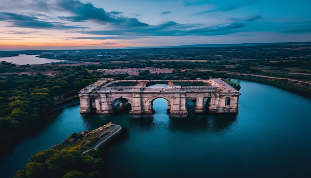
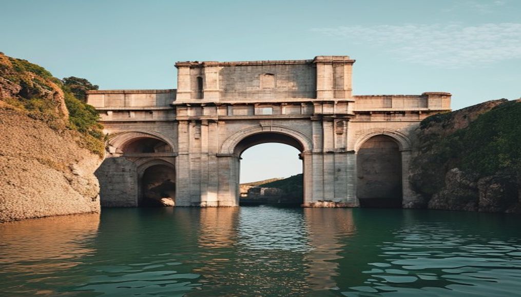
The Pont du Gard is a Roman aqueduct bridge in southern France, built in the 1st century AD to carry water to Nîmes.
About this subject
The Pont du Gard is one of the most impressive legacies of Roman engineering, located in the Occitanie region of southern France, near the city of Nîmes. Built between 40 and 60 AD during the reign of Emperor Claudius, this aqueduct was part of a 50-kilometer system that carried water from the Eure spring in Uzès to the city of Nemausus (modern-day Nîmes). The bridge-aqueduct, measuring 275 meters in length and 49 meters in height, consists of three tiers of superimposed arches: the lower tier has 6 arches, the middle 11, and the upper 35. The structure was built without mortar, using limestone blocks quarried locally, some weighing up to 6 tons, fitted together with millimeter precision.
The aqueduct operated by gravity, with a gentle gradient of only 0.034% (34 cm per kilometer), ensuring a constant flow of about 20,000 cubic meters of water per day. After the fall of the Roman Empire, the system was abandoned in the 6th century, but the bridge continued to be used as a toll crossing until the 18th century. In 1985, it was declared a UNESCO World Heritage Site, recognized as a masterpiece of ancient architecture. Today, the Pont du Gard is one of the most visited tourist sites in France, attracting over 1.5 million visitors annually.
A fascinating curiosity is that the gradient of the aqueduct was calculated so precisely that over the entire 50 km route, the difference in altitude between the spring and the reservoir in Nîmes is only 17 meters. To achieve this accuracy, Roman engineers used instruments such as the groma and the chorobate. The quarry from which the blocks were extracted is less than 1 km from the site, and masonry marks are still visible on some stones, indicating the Roman work organization system.
The conservation of the Pont du Gard is an example of how historical heritage can be integrated with sustainable tourism. The site includes a museum, leisure areas, and a visitor center that explains the history of the aqueduct. Swimming in the Gardon river is prohibited near the bridge to protect the structure, but there are designated areas upstream. The nighttime lighting, designed by engineer Pierre Bideau, enhances the monumentality of the work without causing damage. The Pont du Gard is not just a monument; it is a testament to human ability to overcome natural challenges with ingenuity and determination.
Frequently Asked Questions
What is the exact height of the Pont du Gard?
The Pont du Gard is 49 meters (160 feet) high at its tallest point, equivalent to a 16-story building. It is the tallest surviving Roman aqueduct bridge.
How many stone blocks were used in the construction?
An estimated 50,000 tons of limestone blocks were used, many weighing up to 6 tons each. They were fitted without mortar, relying only on weight and precise interlocking.
Can visitors walk inside the aqueduct channel?
No, the top channel where water flowed is not accessible to the public for preservation. However, visitors can walk across the second level, which serves as a bridge, and explore the museum and riverbanks.
Direct URL
https://pub-c7d6a6ea828543ac903a74a341ccb2e1.r2.dev/imagens/pont-du-gard-roman-aerial-drone-shot-p2.avifHow to credit
Include a visible link back to UtilizAí. Copy one of the snippets below:
<a href="https://xn--utiliza-eza.com/en/midia/imagens/pont-du-gard-roman-aerial-drone-shot-p2">Pont du gard roman</a> by <a href="https://xn--utiliza-eza.com">UtilizAí</a>, licensed under <a href="https://creativecommons.org/licenses/by/4.0/">CC BY 4.0</a>.
[Pont du gard roman](https://xn--utiliza-eza.com/en/midia/imagens/pont-du-gard-roman-aerial-drone-shot-p2) by [UtilizAí](https://xn--utiliza-eza.com), CC BY 4.0
License: CC-BY-4.0