Norwegian fjord aerial view
1344×768 · AVIF · CC BY 4.0
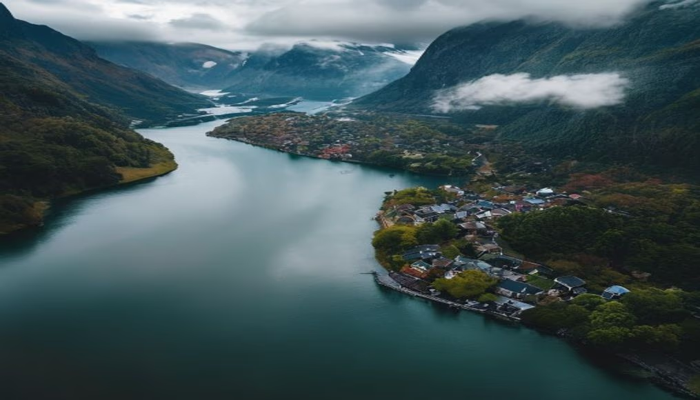
Aerial view of Norwegian fjords, geological formations carved by glaciers during the Ice Age, with deep waters and towering mountains.
About this subject
Norwegian fjords are deep, narrow valleys formed by the advance and retreat of glaciers over millions of years. This glacial erosion process left steep cliffs and waters that can reach depths of over 1,300 meters, as seen in Sognefjord, the country's longest and deepest fjord. The mix of salt and fresh water, influenced by tides, creates unique ecosystems where species like Atlantic salmon and cod thrive.
Among the most iconic fjords are Geirangerfjord and Nærøyfjord, both UNESCO World Heritage sites. Geirangerfjord is known for its waterfalls, such as the Seven Sisters and the Bridal Veil, while Nærøyfjord features cliffs up to 1,700 meters high. In summer, cruise ships traverse these waters, but the region is also steeped in Norse legends, including tales of giants and trolls said to have carved the mountains.
Life around the fjords extends beyond nature. Small villages like Flåm and Gudvangen preserve Viking traditions and offer scenic mountain railway rides. The northern lights in winter contrast with the midnight sun of summer, attracting visitors worldwide. With a coastline stretching over 25,000 kilometers, the fjords symbolize Norwegian identity and are among the most coveted travel destinations on Earth.
Frequently Asked Questions
How were the Norwegian fjords formed?
They were created by glacial erosion during the ice ages, when glaciers carved deep valleys that were later flooded by the sea.
What is the deepest fjord in Norway?
The Sognefjord, with a maximum depth of about 1,308 meters and a length of 204 km, is the longest and deepest in the country.
Are the Norwegian fjords navigable?
Yes, many are navigable and used by cruise ships and ferries. Navigation is facilitated by calm waters and sheltered channels.
Direct URL
https://pub-c7d6a6ea828543ac903a74a341ccb2e1.r2.dev/imagens/norwegian-fjord-aerial-view-street-photography-v11.avifHow to credit
Include a visible link back to UtilizAí. Copy one of the snippets below:
<a href="https://xn--utiliza-eza.com/en/midia/imagens/norwegian-fjord-aerial-view-street-photography-v11">Norwegian fjord aerial view</a> by <a href="https://xn--utiliza-eza.com">UtilizAí</a>, licensed under <a href="https://creativecommons.org/licenses/by/4.0/">CC BY 4.0</a>.
[Norwegian fjord aerial view](https://xn--utiliza-eza.com/en/midia/imagens/norwegian-fjord-aerial-view-street-photography-v11) by [UtilizAí](https://xn--utiliza-eza.com), CC BY 4.0
License: CC-BY-4.0