Hurricane spiral satellite
1344×768 · AVIF · CC BY 4.0
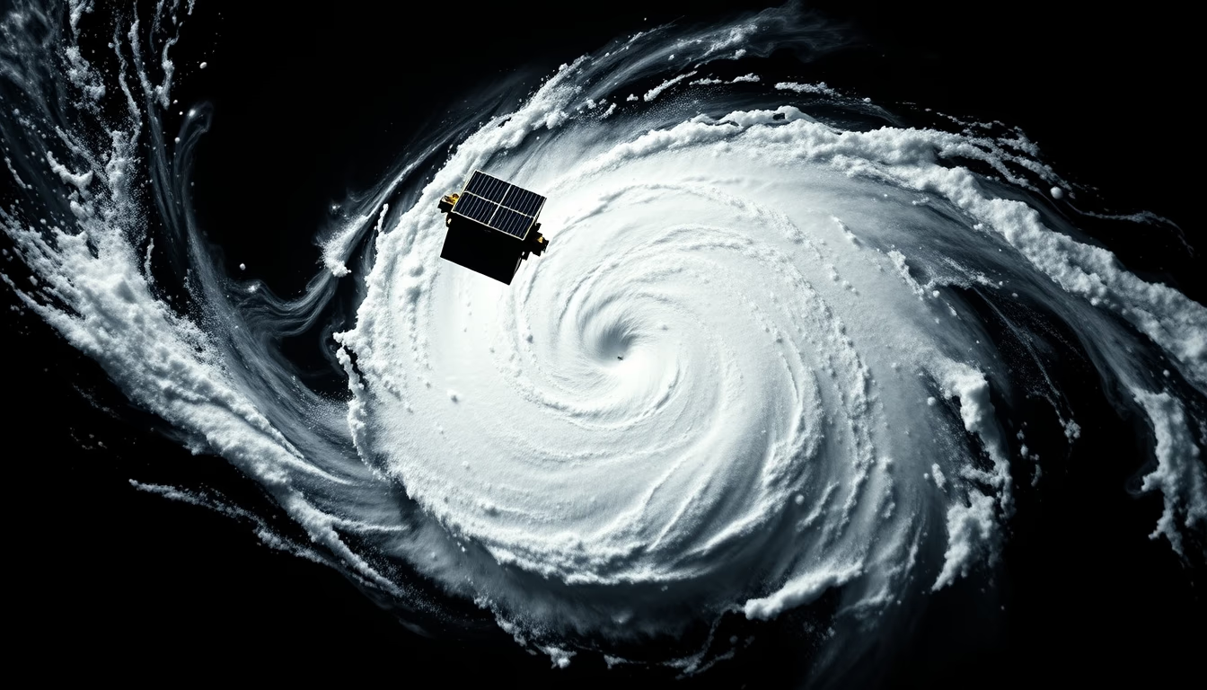
Hurricanes are massive tropical cyclones with destructive power, and their spiral structure is clearly visible in satellite images.
About this subject
Hurricanes, also known as tropical cyclones or typhoons depending on the region, are weather systems that form over warm ocean waters, typically above 26.5°C. The energy that fuels these phenomena comes from the evaporation of seawater, releasing latent heat when vapor condenses into clouds. The Earth's rotation (Coriolis effect) causes the system to spin counterclockwise in the Northern Hemisphere and clockwise in the Southern Hemisphere, creating the characteristic spiral shape.
The spiral observed in satellite images corresponds to convective cloud bands that wrap around the low-pressure center, called the eye. The eye is a region of clear skies and calm winds, surrounded by the eyewall, where the highest wind speeds occur. These winds can exceed 250 km/h, causing catastrophic damage when the hurricane makes landfall.
Weather satellites, such as the GOES series (USA) and Meteosat (Europe), are essential for monitoring hurricanes. They provide real-time images that allow forecasting the trajectory and intensity of the phenomenon, aiding in early warning issuance. Technological advances in spatial and temporal resolution have significantly improved hurricane prediction in recent decades.
Interestingly, hurricane formation depends on several factors, including the absence of wind shear and the presence of moisture in the troposphere. Global warming has been linked to an increase in the average intensity of hurricanes, although the total number of tropical cyclones has not shown a clear upward trend.
Frequently Asked Questions
Why do hurricanes have a spiral shape?
The spiral shape results from the Earth's rotation (Coriolis effect) and the dynamics of convection. Clouds organize into bands that wrap around the low-pressure center, creating the spiral.
What is the difference between a hurricane, typhoon, and cyclone?
They are the same phenomenon, but given different names depending on the region: hurricane in the North Atlantic and Northeast Pacific, typhoon in the Northwest Pacific, and cyclone in the Indian and South Pacific.
How do satellites help in hurricane forecasting?
Weather satellites capture real-time images of cloud structure and movement, allowing intensity estimation (via the Dvorak technique) and trajectory prediction using computer models.
Direct URL
https://pub-c7d6a6ea828543ac903a74a341ccb2e1.r2.dev/imagens/hurricane-spiral-satellite-studio-still-life-fresh11.avifHow to credit
Include a visible link back to UtilizAí. Copy one of the snippets below:
<a href="https://xn--utiliza-eza.com/en/midia/imagens/hurricane-spiral-satellite-studio-still-life-fresh11">Hurricane spiral satellite</a> by <a href="https://xn--utiliza-eza.com">UtilizAí</a>, licensed under <a href="https://creativecommons.org/licenses/by/4.0/">CC BY 4.0</a>.
[Hurricane spiral satellite](https://xn--utiliza-eza.com/en/midia/imagens/hurricane-spiral-satellite-studio-still-life-fresh11) by [UtilizAí](https://xn--utiliza-eza.com), CC BY 4.0
License: CC-BY-4.0





