Hurricane spiral satellite
1344×768 · AVIF · CC BY 4.0
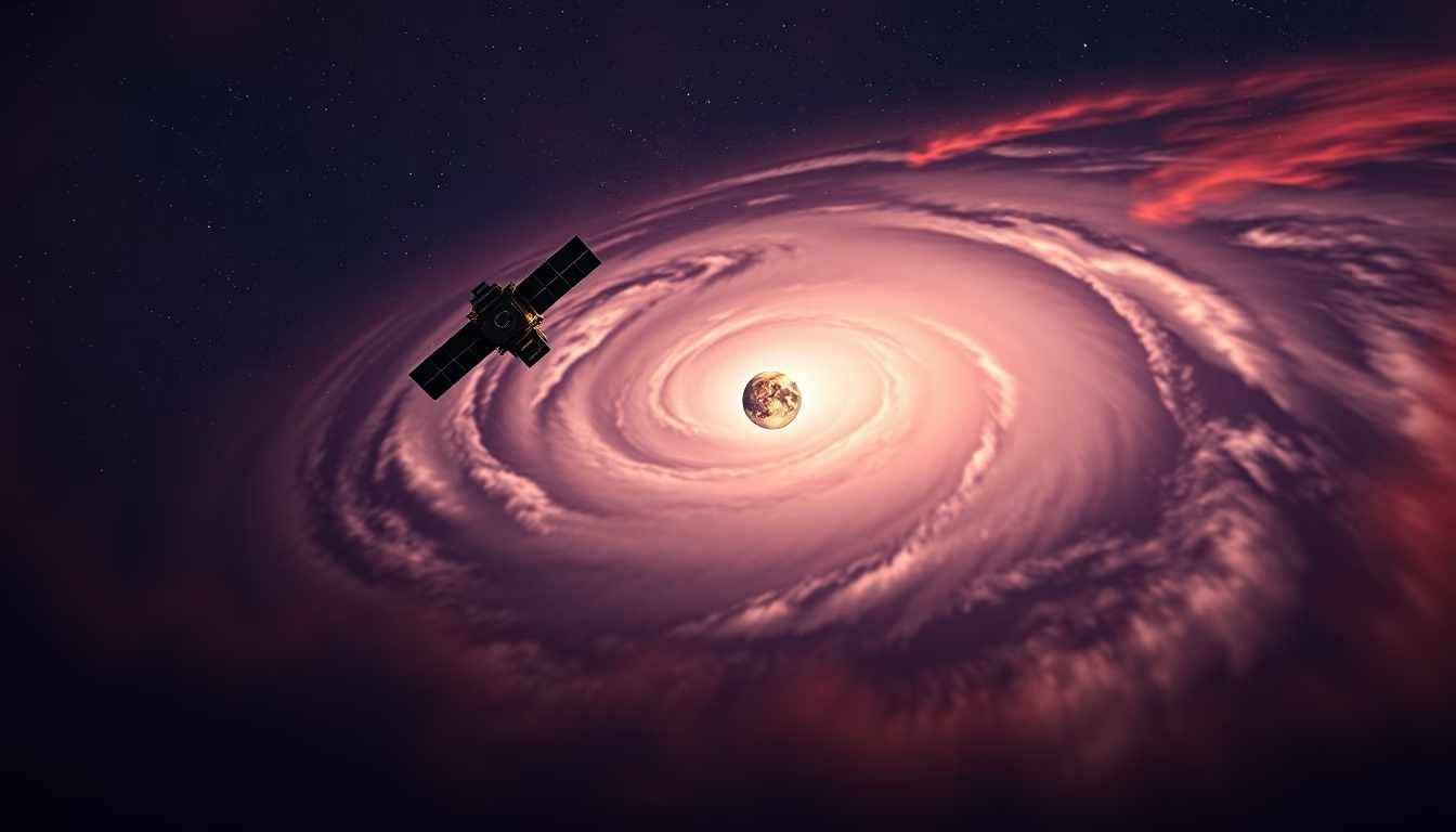
Satellite image displays the spiral structure of a hurricane, revealing the eye, eyewall, and rotating rainbands.
About this subject
Hurricanes are tropical cyclones that form over warm ocean waters, typically above 26.5°C, and are fueled by evaporation from the sea surface. Their typical structure includes a central calm eye, surrounded by an eyewall where winds are strongest, and extensive spiral rainbands extending hundreds of kilometers. This spiral organization is clearly visible in satellite images, such as those captured by infrared or visible-light sensors on polar-orbiting or geostationary satellites.
Satellites like GOES-16 (United States) and Himawari-8 (Japan) continuously monitor hurricane formation and evolution, providing critical data for track and intensity forecasting. Long-exposure techniques in satellite imagery can enhance cloud motion, highlighting spiral patterns. These systems can sustain winds above 119 km/h (Category 1 on the Saffir-Simpson scale), with the most powerful, such as Hurricane Patricia (2015), recording winds of 345 km/h.
Beyond devastating impacts on coastal areas, hurricanes play a role in global heat balance, transporting heat from the tropics to higher latitudes. The Atlantic basin, for example, has an official season from June 1 to November 30, peaking in September. Satellite monitoring is essential for early warnings, saving lives and mitigating damage.
Frequently Asked Questions
How does a hurricane form?
Hurricanes form over warm ocean waters (above 26.5°C) when intense evaporation fuels organized thunderstorms that begin to rotate due to the Coriolis effect.
Why does the satellite image show a spiral pattern?
The spiral pattern results from the system's rotation and winds converging toward the center, forming cloud bands that wrap around the eye.
How important is satellite monitoring of hurricanes?
Satellites enable detection of formation, tracking of path, and intensity estimation, providing crucial data for warnings and evacuations.
Direct URL
https://pub-c7d6a6ea828543ac903a74a341ccb2e1.r2.dev/imagens/hurricane-spiral-satellite-long-exposure-fresh12.avifHow to credit
Include a visible link back to UtilizAí. Copy one of the snippets below:
<a href="https://xn--utiliza-eza.com/en/midia/imagens/hurricane-spiral-satellite-long-exposure-fresh12">Hurricane spiral satellite</a> by <a href="https://xn--utiliza-eza.com">UtilizAí</a>, licensed under <a href="https://creativecommons.org/licenses/by/4.0/">CC BY 4.0</a>.
[Hurricane spiral satellite](https://xn--utiliza-eza.com/en/midia/imagens/hurricane-spiral-satellite-long-exposure-fresh12) by [UtilizAí](https://xn--utiliza-eza.com), CC BY 4.0
License: CC-BY-4.0





