Hurricane spiral satellite
1344×768 · AVIF · CC BY 4.0
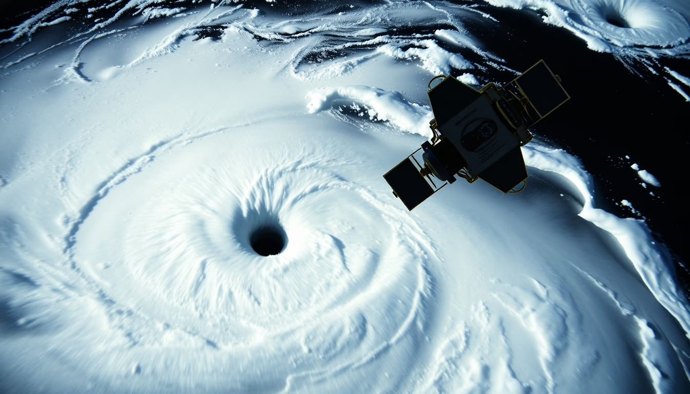
Satellite image captures the stunning spiral of a hurricane, revealing the organized structure and power of these atmospheric phenomena.
About this subject
Hurricanes are low-pressure systems that form over warm ocean waters, typically above 26°C, characterized by a spiral of clouds and intense winds swirling around a central eye. The satellite image displays this classic configuration, with cloud bands stretching hundreds of kilometers. The rotation results from the Coriolis effect, which deflects winds to the right in the Northern Hemisphere and to the left in the Southern Hemisphere, causing cyclonic motion.
Satellite observation revolutionized meteorology, enabling real-time monitoring of hurricane formation and track. The first weather satellite, TIROS-1, launched in 1960, and technology has advanced significantly since then. Today, geostationary satellites like GOES-16 (United States) and Himawari-8 (Japan) provide images every few minutes, crucial for early warnings and disaster mitigation. Hurricanes are classified using the Saffir-Simpson scale, ranging from 1 to 5 based on sustained wind speeds.
Interestingly, the term "hurricane" is used in the Atlantic and Northeast Pacific, while they are called typhoons in the Northwest Pacific and cyclones in the Indian Ocean. Regardless of name, these systems can cause catastrophic damage. The most intense hurricane on record, Patricia (2015), reached winds of 346 km/h. The lo-fi style and disposable camera effect add a nostalgic aesthetic, contrasting with the technical precision of satellite observation.
Frequently Asked Questions
How do satellites monitor hurricanes?
Geostationary satellites capture continuous images of Earth's surface and clouds. Infrared sensors measure cloud-top temperatures, indicating height and intensity. Wind data is obtained by tracking cloud movement.
What is the difference between a hurricane, typhoon, and cyclone?
They are the same phenomenon, just regional names. Hurricane in the Atlantic and Northeast Pacific, typhoon in the Northwest Pacific, and cyclone in the Indian and South Pacific Oceans.
What is the eye of a hurricane?
It is a central region of calm, with clear skies or few clouds and light winds, surrounded by the eyewall where winds are strongest. It forms due to descending air in the storm's center.
Direct URL
https://pub-c7d6a6ea828543ac903a74a341ccb2e1.r2.dev/imagens/hurricane-spiral-satellite-lo-fi-disposable-camera-fresh10.avifHow to credit
Include a visible link back to UtilizAí. Copy one of the snippets below:
<a href="https://xn--utiliza-eza.com/en/midia/imagens/hurricane-spiral-satellite-lo-fi-disposable-camera-fresh10">Hurricane spiral satellite</a> by <a href="https://xn--utiliza-eza.com">UtilizAí</a>, licensed under <a href="https://creativecommons.org/licenses/by/4.0/">CC BY 4.0</a>.
[Hurricane spiral satellite](https://xn--utiliza-eza.com/en/midia/imagens/hurricane-spiral-satellite-lo-fi-disposable-camera-fresh10) by [UtilizAí](https://xn--utiliza-eza.com), CC BY 4.0
License: CC-BY-4.0





