Hurricane spiral satellite
1344×768 · AVIF · CC BY 4.0
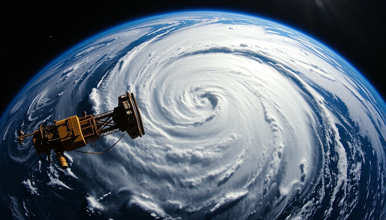
Satellite image of a hurricane spiral, showing the cloud structure and eye of the tropical cyclone.
About this subject
Hurricanes are intense tropical cyclones that form over warm ocean waters, typically above 26°C. The characteristic spiral structure visible in satellite images consists of rainbands that rotate around the eye, a central region of calm and low pressure. These systems can span hundreds of kilometers in diameter with winds exceeding 119 km/h, classified on the Saffir-Simpson scale from 1 to 5.
Satellite monitoring is crucial for predicting hurricane track and intensity. Geostationary satellites, such as the GOES series (USA) and Meteosat (Europe), provide continuous images every few minutes, while polar-orbiting satellites like Suomi NPP offer high-resolution data. The hurricane eye forms from descending dry air and can range from 8 to 200 km in diameter, surrounded by the eyewall where winds are strongest.
Hurricanes are known by different names depending on the region: typhoons in the Northwest Pacific, cyclones in the Indian Ocean and South Pacific. The Atlantic hurricane season runs from June 1 to November 30, peaking between August and October. On average, 12 named storms form each year, with 6 becoming hurricanes. The wide-angle (fish-eye) satellite perspective helps visualize the symmetry and scale of the phenomenon, aiding meteorologists in analyzing its three-dimensional structure.
Frequently Asked Questions
Why do hurricanes have a spiral shape?
The spiral shape results from Earth's rotation (Coriolis force) and convection dynamics. Rainbands wrap around the low-pressure center due to the system's rotation, creating the spiral structure seen in satellite images.
What is the importance of the hurricane eye?
The eye is the calm central region of the hurricane, with clear skies and light winds. It is surrounded by the eyewall, where winds are strongest. The eye indicates the exact location of the low-pressure center and helps monitor the system's intensity.
How do satellites help predict hurricanes?
Geostationary satellites provide continuous imagery of cloud formation and movement, allowing estimation of the hurricane's position and intensity. Polar-orbiting satellites measure cloud top temperatures, winds, and precipitation, feeding into computer forecast models.
Direct URL
https://pub-c7d6a6ea828543ac903a74a341ccb2e1.r2.dev/imagens/hurricane-spiral-satellite-fish-eye-wide-angle-fresh14.avifHow to credit
Include a visible link back to UtilizAí. Copy one of the snippets below:
<a href="https://xn--utiliza-eza.com/en/midia/imagens/hurricane-spiral-satellite-fish-eye-wide-angle-fresh14">Hurricane spiral satellite</a> by <a href="https://xn--utiliza-eza.com">UtilizAí</a>, licensed under <a href="https://creativecommons.org/licenses/by/4.0/">CC BY 4.0</a>.
[Hurricane spiral satellite](https://xn--utiliza-eza.com/en/midia/imagens/hurricane-spiral-satellite-fish-eye-wide-angle-fresh14) by [UtilizAí](https://xn--utiliza-eza.com), CC BY 4.0
License: CC-BY-4.0





