Hurricane spiral satellite
1344×768 · AVIF · CC BY 4.0
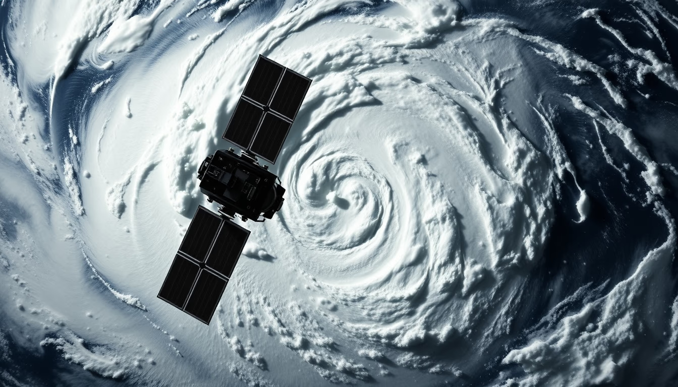
Satellite image captures the spiral structure of a hurricane, revealing atmospheric patterns that help meteorologists forecast its intensity and path.
About this subject
Hurricanes are tropical cyclones that form over warm ocean waters, typically above 26°C, where intense evaporation fuels convective storms. The Earth's rotation, via the Coriolis effect, induces the characteristic spiral motion. In the Northern Hemisphere they rotate counterclockwise; in the Southern Hemisphere, clockwise.
Weather satellites, such as the GOES series (USA) and Meteosat (Europe), continuously monitor these storms. Visible and infrared imagery measure cloud-top temperatures, indicating the height and strength of updrafts. The formation of the eye, a calm center, signals a mature and powerful hurricane.
The Saffir-Simpson scale classifies hurricanes from 1 to 5 based on sustained wind speeds. A Category 5 hurricane, like Katrina (2005) or Irma (2017), can cause catastrophic damage. Accurate forecasting depends on numerical models that assimilate data from satellites, hurricane hunter aircraft, and ocean buoys. Images like this are crucial for early warnings and save lives.
Beyond science, satellite photography of hurricanes has aesthetic and documentary value. It records planetary dynamics and nature's power, used in education, media, and art. The spiral image is a visual icon that connects the public to the reality of extreme weather events, increasingly frequent due to global warming.
Frequently Asked Questions
How do satellites capture images of hurricanes?
Weather satellites in geostationary orbit, like GOES, use sensors that detect visible and infrared light. The images reveal cloud structure and temperature, helping identify the eye location and hurricane intensity.
Why do hurricanes have a spiral shape?
The spiral shape results from Earth's rotation (Coriolis effect) and fluid dynamics. Winds converge toward the low-pressure center but are deflected, creating spiral rainbands.
What is the difference between a hurricane, typhoon, and cyclone?
They are the same phenomenon, but named differently by region: hurricane in the Atlantic and Northeast Pacific, typhoon in the Northwest Pacific, and cyclone in the Indian and South Pacific Oceans.
Direct URL
https://pub-c7d6a6ea828543ac903a74a341ccb2e1.r2.dev/imagens/hurricane-spiral-satellite-fine-art-photography-fresh3.avifHow to credit
Include a visible link back to UtilizAí. Copy one of the snippets below:
<a href="https://xn--utiliza-eza.com/en/midia/imagens/hurricane-spiral-satellite-fine-art-photography-fresh3">Hurricane spiral satellite</a> by <a href="https://xn--utiliza-eza.com">UtilizAí</a>, licensed under <a href="https://creativecommons.org/licenses/by/4.0/">CC BY 4.0</a>.
[Hurricane spiral satellite](https://xn--utiliza-eza.com/en/midia/imagens/hurricane-spiral-satellite-fine-art-photography-fresh3) by [UtilizAí](https://xn--utiliza-eza.com), CC BY 4.0
License: CC-BY-4.0





