Hurricane spiral satellite
1344×768 · AVIF · CC BY 4.0
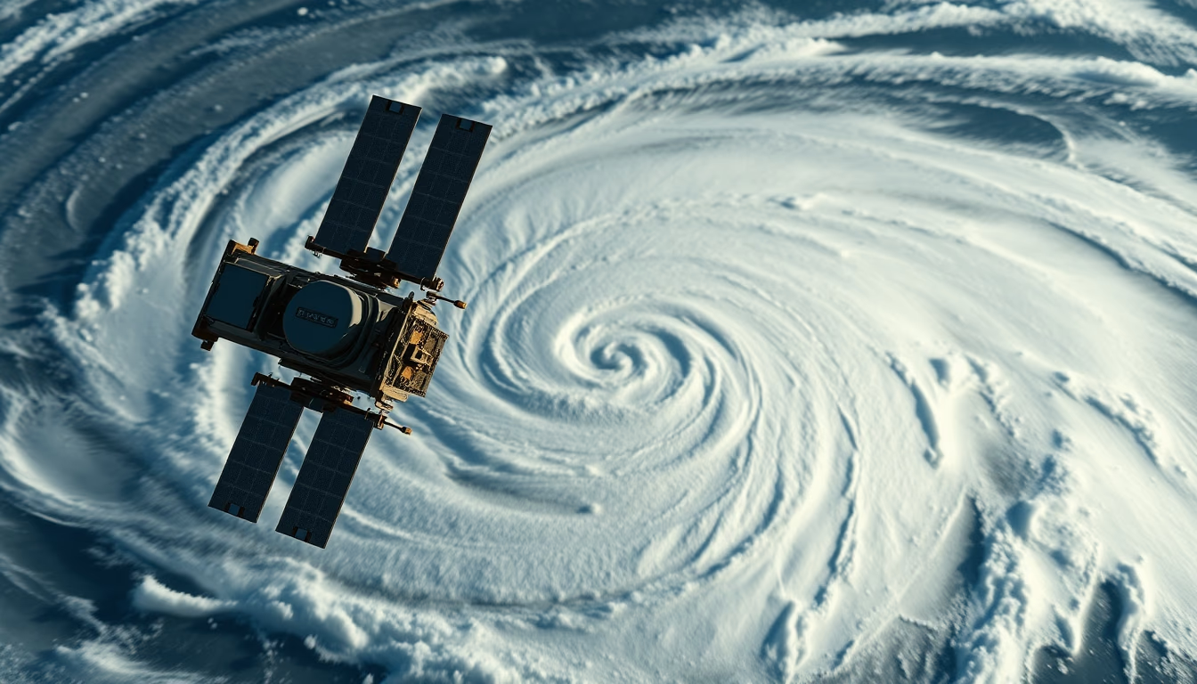
Satellite image shows the characteristic spiral shape of a hurricane over the ocean, revealing large-scale atmospheric dynamics.
About this subject
Hurricanes are tropical cyclones that form over warm ocean waters, typically above 26°C. They are characterized by a well-defined spiral structure, with clouds organized into bands around a low-pressure center called the eye. This spiral pattern is visible in satellite images and is fundamental for forecasting and monitoring these phenomena.
Meteorological satellites, such as the GOES series (Geostationary Operational Environmental Satellite) and polar-orbiting ones like Suomi NPP, capture images in different wavelengths. Infrared images show cloud-top temperatures, allowing identification of hurricane intensity. The eye, usually cloud-free, appears as a dark circular spot, while spiral bands indicate rotation and deep convection.
Satellite observation has revolutionized tropical meteorology. Before the space age, hurricanes were detected only by ships or aircraft, with little advance notice. Today, satellites provide real-time data on location, size, intensity, and movement. Information such as central pressure and wind speed is estimated using techniques like the Dvorak method, which analyzes cloud patterns.
Beyond forecasting, these images are essential for natural disaster warnings. Authorities can issue evacuation alerts days in advance, reducing human losses. The hurricane spiral is not only beautiful but a visual indicator of imminent danger. Understanding its structure helps scientists improve climate models and predict changes in frequency and intensity of these events due to global warming.
Frequently Asked Questions
Why do hurricanes have a spiral shape seen from space?
The spiral shape results from Earth's rotation (Coriolis effect) and the convection of warm, moist air rising from the ocean. Clouds organize into bands that rotate around the eye, creating the spiral.
How do satellites measure hurricane intensity?
Satellites use infrared images to estimate cloud-top temperatures. Colder clouds indicate stronger convection, associated with higher wind speeds. Techniques like the Dvorak method relate cloud patterns to wind speed.
What is the importance of satellite images for hurricane forecasting?
They allow real-time monitoring of formation, track, and evolution. Satellite data feed computer models that predict path and intensity, enabling early warnings and saving lives.
Direct URL
https://pub-c7d6a6ea828543ac903a74a341ccb2e1.r2.dev/imagens/hurricane-spiral-satellite-documentary-nature-style-fresh6.avifHow to credit
Include a visible link back to UtilizAí. Copy one of the snippets below:
<a href="https://xn--utiliza-eza.com/en/midia/imagens/hurricane-spiral-satellite-documentary-nature-style-fresh6">Hurricane spiral satellite</a> by <a href="https://xn--utiliza-eza.com">UtilizAí</a>, licensed under <a href="https://creativecommons.org/licenses/by/4.0/">CC BY 4.0</a>.
[Hurricane spiral satellite](https://xn--utiliza-eza.com/en/midia/imagens/hurricane-spiral-satellite-documentary-nature-style-fresh6) by [UtilizAí](https://xn--utiliza-eza.com), CC BY 4.0
License: CC-BY-4.0





