Hurricane spiral satellite
1344×768 · AVIF · CC BY 4.0
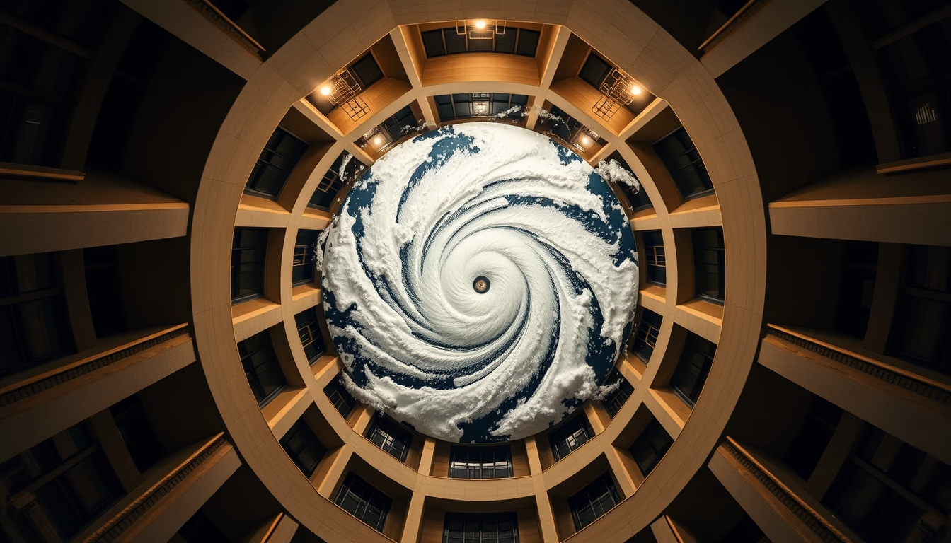
Hurricanes are intense meteorological phenomena monitored by satellites orbiting Earth, providing crucial data for forecasting and safety.
About this subject
Hurricanes, also known as tropical cyclones, are large-scale storms that form over warm ocean waters, typically above 26°C. They are characterized by a spiral of clouds and winds rotating around a low-pressure center, the eye of the hurricane. These systems primarily develop in tropical regions such as the North Atlantic and Eastern Pacific, and their monitoring is vital to mitigate impacts on coastal areas.
Meteorological satellites, such as the GOES (Geostationary Operational Environmental Satellite) series and NOAA's polar-orbiting satellites, play an essential role in continuous observation of these phenomena. Satellite imagery at different wavelengths allows visualization of the hurricane's structure, measurement of cloud top temperatures, and estimation of wind intensity. Data from satellites like TRMM and GPM also help measure precipitation within the storm.
The importance of this data extends beyond weather forecasting: it feeds numerical models that simulate trajectories and intensities, enabling early warnings. Technological advances, with high-resolution and multispectral imaging satellites, have significantly improved the ability to predict rapid intensity changes, such as rapid intensification before landfall.
Interestingly, the spiral shape of hurricanes results from Earth's rotation (Coriolis effect) and the release of latent heat from condensation. In the Atlantic, hurricane season runs from June to November, peaking in September. Satellite monitoring is an indispensable tool for the safety of millions of people living in vulnerable regions.
Frequently Asked Questions
How do satellites monitor hurricanes?
Satellites equipped with infrared and visible sensors capture real-time images of cloud structure, top temperature, and wind patterns. This allows tracking the location, size, and intensity of the hurricane.
What is the difference between a hurricane, typhoon, and cyclone?
They are the same meteorological phenomenon but named differently by region: hurricane in the Atlantic and Northeast Pacific, typhoon in the Northwest Pacific, and cyclone in the Indian and South Pacific oceans.
Why is the spiral shape so common in hurricanes?
Earth's rotation and the release of latent heat generate a spiral flow pattern. Clouds organize into spiral bands converging toward the center, creating the characteristic structure.
Direct URL
https://pub-c7d6a6ea828543ac903a74a341ccb2e1.r2.dev/imagens/hurricane-spiral-satellite-architectural-photography-fresh8.avifHow to credit
Include a visible link back to UtilizAí. Copy one of the snippets below:
<a href="https://xn--utiliza-eza.com/en/midia/imagens/hurricane-spiral-satellite-architectural-photography-fresh8">Hurricane spiral satellite</a> by <a href="https://xn--utiliza-eza.com">UtilizAí</a>, licensed under <a href="https://creativecommons.org/licenses/by/4.0/">CC BY 4.0</a>.
[Hurricane spiral satellite](https://xn--utiliza-eza.com/en/midia/imagens/hurricane-spiral-satellite-architectural-photography-fresh8) by [UtilizAí](https://xn--utiliza-eza.com), CC BY 4.0
License: CC-BY-4.0





