Grand canyon panoramic
1344×768 · AVIF · CC BY 4.0
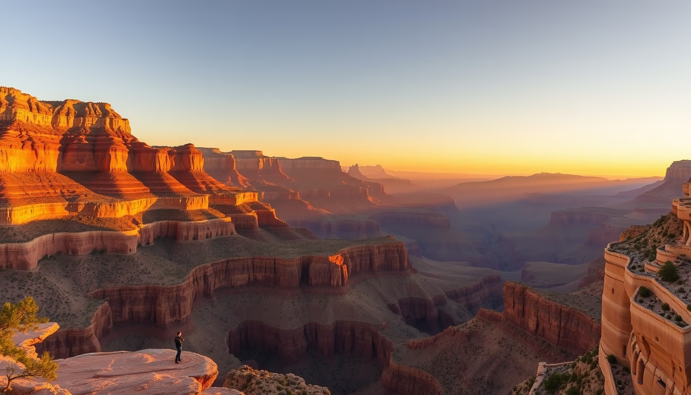
The Grand Canyon in Arizona, USA, is a colossal gorge carved by the Colorado River over millions of years, exposing geological layers that tell Earth's history.
About this subject
The Grand Canyon is one of the world's most iconic gorges, located in northern Arizona, USA. Stretching 277 miles, up to 18 miles wide, and over a mile deep, it was carved by the Colorado River in a process that began about 5 to 6 million years ago. Water erosion and the uplift of the Colorado Plateau exposed rocks dating back up to 2 billion years, such as the Vishnu Schist visible at the canyon's bottom. This succession of strata is one of the most complete geological records on Earth, preserving evidence of ancient marine, desert, and forest environments.
For Indigenous peoples, the Grand Canyon holds deep cultural and spiritual significance. Tribes like the Havasupai, who have inhabited the area for over 800 years, consider the canyon a sacred site. The name "Havasupai" means "people of the blue-green waters," referring to the canyon's waterfalls. Other nations, such as Hopi, Navajo, and Hualapai, have historical ties to the region. Today, the national park attracts over 6 million visitors annually, making it one of the most popular tourist destinations in the United States.
The Grand Canyon experience varies by rim. The South Rim is the most accessible and crowded, open year-round, with viewpoints like Mather Point and Desert View. The North Rim is more remote and offers different views, but closes in winter due to snow. Common activities include rim hiking, helicopter tours, and rafting on the Colorado River. The park was declared a UNESCO World Heritage Site in 1979, solidifying its global relevance as a natural and scientific wonder.
Frequently Asked Questions
How was the Grand Canyon formed?
The Grand Canyon was formed by the erosion of the Colorado River over millions of years, combined with the uplift of the Colorado Plateau. The river cut through layers of sedimentary rock, exposing a geological record up to 2 billion years old.
What is the best time to visit the Grand Canyon?
The best time is between March and May or September and November, when the weather is mild and crowds are smaller. The South Rim is open year-round, while the North Rim closes in winter due to snow.
What activities are available at the Grand Canyon?
Activities include hiking on rim trails, rafting on the Colorado River, helicopter tours, and sunset viewing from overlooks. Camping and visiting Native American archaeological sites are also possible.
Direct URL
https://pub-c7d6a6ea828543ac903a74a341ccb2e1.r2.dev/imagens/grand-canyon-panoramic-travel-photography-p4.avifHow to credit
Include a visible link back to UtilizAí. Copy one of the snippets below:
<a href="https://xn--utiliza-eza.com/en/midia/imagens/grand-canyon-panoramic-travel-photography-p4">Grand canyon panoramic</a> by <a href="https://xn--utiliza-eza.com">UtilizAí</a>, licensed under <a href="https://creativecommons.org/licenses/by/4.0/">CC BY 4.0</a>.
[Grand canyon panoramic](https://xn--utiliza-eza.com/en/midia/imagens/grand-canyon-panoramic-travel-photography-p4) by [UtilizAí](https://xn--utiliza-eza.com), CC BY 4.0
License: CC-BY-4.0