Amazon deforestation satellite
1344×768 · AVIF · CC BY 4.0
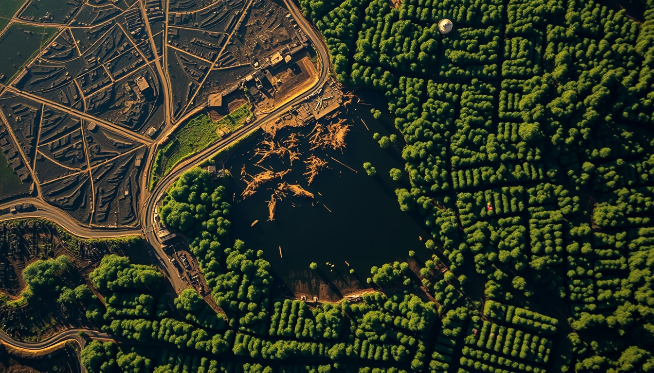
Satellites monitor deforestation in the Amazon with high-resolution images, revealing real-time forest loss.
About this subject
Monitoring deforestation in the Amazon heavily relies on Earth observation satellites. Brazil's National Institute for Space Research (INPE) operates two complementary systems: PRODES, which uses Landsat images (30-meter resolution) to measure annual deforestation rates since 1988, and DETER, which utilizes sensors like MODIS (250 meters) and WFI (64 meters) for near-daily alerts. These public data enable environmental agencies like IBAMA to target enforcement actions.
Beyond American Landsat satellites, Europe’s Copernicus program provides Sentinel-2 imagery with 10-meter resolution, widely used by researchers. Recent commercial constellations such as Planet Labs (hundreds of small satellites) offer daily global coverage, allowing detection of changes smaller than a football field. Radar satellites like Sentinel-1 can see through clouds, a critical feature in the cloud-prone Amazon.
The importance of this monitoring extends beyond law enforcement. Consistent data reveal deforestation cycles: spikes occur during drought years or weak governance, as between 2019 and 2021. In 2023, deforestation in the Legal Amazon fell 22% from the previous year, but still reached 9,001 km², an area larger than the state of Rio de Janeiro. Satellite images also help map fires, illegal mining, and agricultural expansion.
Interestingly, the first satellite-based deforestation alert in the Amazon came in the early 1970s from Landsat 1. Since then, technology has evolved from 80-meter resolution imagery to systems that detect individual tree felling. This capability is essential for meeting global climate goals and preserving the world's largest tropical rainforest.
Frequently Asked Questions
How do satellites detect deforestation in the Amazon?
Satellites like Landsat and Sentinel-2 capture multispectral images that show the difference between forest and bare soil or pasture. Algorithms compare images over time and identify changes in vegetation cover, generating deforestation alerts.
How accurate is satellite deforestation monitoring?
Landsat satellites have 30-meter resolution, enough to detect medium-sized clearings. Commercial constellations like Planet Labs offer 3 to 5 meters, identifying even selective logging.
Who operates the main satellites monitoring the Amazon?
INPE (Brazil) uses data from American Landsat and European Sentinel satellites, as well as its own satellite, Amazonia-1. Organizations like Global Forest Watch compile these data for public access.
Direct URL
https://pub-c7d6a6ea828543ac903a74a341ccb2e1.r2.dev/imagens/amazon-deforestation-satellite-rembrandt-lighting-dramatic-shadows-fresh14.avifHow to credit
Include a visible link back to UtilizAí. Copy one of the snippets below:
<a href="https://xn--utiliza-eza.com/en/midia/imagens/amazon-deforestation-satellite-rembrandt-lighting-dramatic-shadows-fresh14">Amazon deforestation satellite</a> by <a href="https://xn--utiliza-eza.com">UtilizAí</a>, licensed under <a href="https://creativecommons.org/licenses/by/4.0/">CC BY 4.0</a>.
[Amazon deforestation satellite](https://xn--utiliza-eza.com/en/midia/imagens/amazon-deforestation-satellite-rembrandt-lighting-dramatic-shadows-fresh14) by [UtilizAí](https://xn--utiliza-eza.com), CC BY 4.0
License: CC-BY-4.0





