Amazon deforestation satellite
1344×768 · AVIF · CC BY 4.0
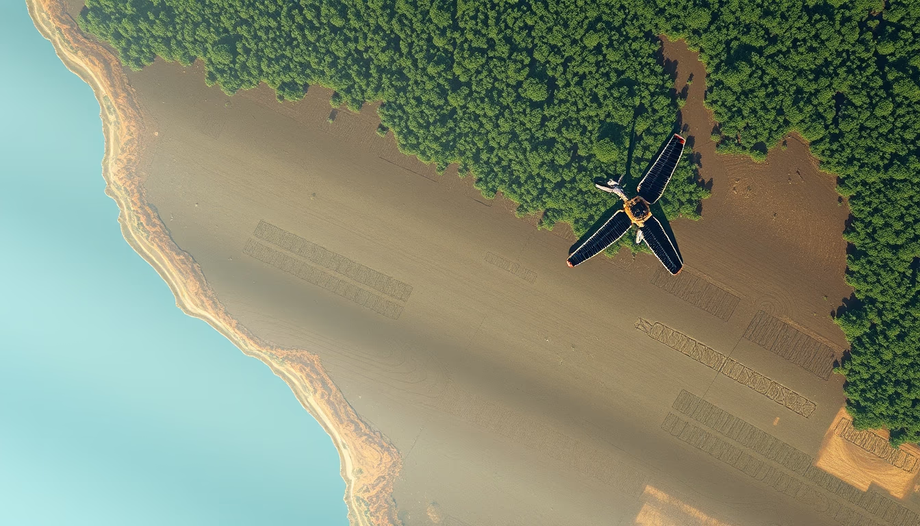
Satellites monitor deforestation in the Amazon with precise and frequent data, essential for environmental policies.
About this subject
Satellite monitoring of deforestation in the Amazon is a critical tool for tropical forest conservation. Brazil uses systems like PRODES (Program for Deforestation Assessment in the Amazon) and DETER (Real-Time Deforestation Detection), which rely on images from satellites such as Landsat (NASA/USGS) and CBERS (China-Brazil Earth Resources Satellite). PRODES provides annual deforestation rates at 30-meter resolution, while DETER issues near-daily alerts for enforcement actions. Since 2004, these systems reduced deforestation by over 70% until 2012, though recent pressures have increased rates again.
Remote sensing technology detects clear-cutting, forest degradation, and fires, aiding in offender accountability. Polar-orbiting satellites like Sentinel-2 (ESA) complement data, especially in cloudy regions. Combining optical and radar sensors improves accuracy and reduces weather dependency.
The significance of this data extends beyond Brazil: the Amazon stores about 100 billion tons of carbon, and its deforestation contributes to global emissions. International organizations and NGOs use these images for advocacy and transparency. Challenges remain, such as maintaining satellite updates and combating illegal deforestation in remote areas. Investment in national satellites like Amazônia-1 (launched in 2021) strengthens Brazil's autonomous monitoring capacity.
Frequently Asked Questions
How do satellites detect deforestation in the Amazon?
Satellites like Landsat and CBERS capture multispectral images. Algorithms compare images over time to identify changes in forest cover, such as clear-cutting or degradation. DETER issues near-real-time alerts for areas over 1 hectare of deforestation.
What is the difference between PRODES and DETER?
PRODES calculates the annual deforestation rate with high precision (30 m resolution), while DETER provides daily alerts for enforcement, with lower spatial resolution but higher temporal frequency. They are complementary.
Why is satellite monitoring important for combating deforestation?
It enables remote detection of deforested areas, often inaccessible, and holds perpetrators accountable. The data supports public policies, such as the Guardians of the Amazon operation, and helps measure carbon emissions.
Direct URL
https://pub-c7d6a6ea828543ac903a74a341ccb2e1.r2.dev/imagens/amazon-deforestation-satellite-minimalist-composition-fresh0.avifHow to credit
Include a visible link back to UtilizAí. Copy one of the snippets below:
<a href="https://xn--utiliza-eza.com/en/midia/imagens/amazon-deforestation-satellite-minimalist-composition-fresh0">Amazon deforestation satellite</a> by <a href="https://xn--utiliza-eza.com">UtilizAí</a>, licensed under <a href="https://creativecommons.org/licenses/by/4.0/">CC BY 4.0</a>.
[Amazon deforestation satellite](https://xn--utiliza-eza.com/en/midia/imagens/amazon-deforestation-satellite-minimalist-composition-fresh0) by [UtilizAí](https://xn--utiliza-eza.com), CC BY 4.0
License: CC-BY-4.0





