Amazon deforestation satellite
1344×768 · AVIF · CC BY 4.0
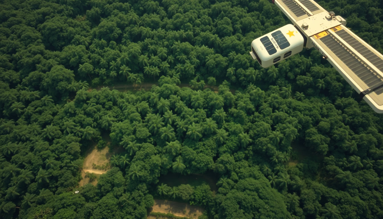
Monitoring satellites are essential for detecting and quantifying deforestation in the Amazon, providing critical data for environmental policies and conservation.
About this subject
Monitoring deforestation in the Amazon heavily relies on Earth observation satellites. The Brazilian program PRODES (Amazon Deforestation Calculation Program), coordinated by INPE, has used images from the Landsat satellite (NASA/USGS) since 1988 to annually map deforested areas at 30-meter resolution. The DETER (Real-Time Deforestation Detection) system employs sensors such as MODIS (Terra/Aqua) and CBERS (China-Brazil), issuing near-daily alerts for law enforcement.
Satellites distinguish primary forest from newly cleared areas using different wavelengths, such as near-infrared, which highlights the contrast between dense vegetation and bare soil. INPE data show that in 2023, the Legal Amazon lost about 9,000 km² of forest, a 22% reduction from 2022, partly due to control actions based on these images. However, cloud cover in the Amazon region remains a challenge, requiring synthetic aperture radar (SAR) from satellites like Sentinel-1 (ESA) to penetrate through clouds.
Beyond optical and radar satellites, missions such as Amazonas-1 (Brazil's first fully national observation satellite, launched in 2021) and the international Global Forest Watch program integrate data to provide open alerts to governments and NGOs. This information is vital for meeting climate goals like the Paris Agreement, as Amazon deforestation accounts for about 10% of global CO2 emissions. Satellite technology, combined with artificial intelligence, is evolving to detect deforestation at ever smaller scales, such as a football field.
Frequently Asked Questions
How do satellites detect deforestation in the Amazon?
Satellites use optical and radar sensors. Optical sensors capture images in different spectral bands, such as near-infrared, where forest appears dark and bare soil appears bright. Radar, like SAR, emits microwaves that penetrate clouds, allowing detection even on overcast days. Algorithms compare images over time to identify changes in forest cover.
Which satellite is most used for monitoring Amazon deforestation?
Landsat (NASA/USGS) is most used for annual analyses (PRODES), with 30-meter resolution. For daily alerts, MODIS (Terra/Aqua) and CBERS are employed. Currently, Sentinel-2 (ESA) is also widely used due to its 10-meter resolution.
What are the main challenges of satellite monitoring in the Amazon?
Frequent cloud cover in the Amazon region hinders continuous optical imaging. Additionally, understory deforestation (selective logging) and small-scale clearing are still difficult to detect with moderate resolutions. The high cost of radar satellites and the need for intensive computational processing are also challenges.
Direct URL
https://pub-c7d6a6ea828543ac903a74a341ccb2e1.r2.dev/imagens/amazon-deforestation-satellite-lo-fi-disposable-camera-fresh8.avifHow to credit
Include a visible link back to UtilizAí. Copy one of the snippets below:
<a href="https://xn--utiliza-eza.com/en/midia/imagens/amazon-deforestation-satellite-lo-fi-disposable-camera-fresh8">Amazon deforestation satellite</a> by <a href="https://xn--utiliza-eza.com">UtilizAí</a>, licensed under <a href="https://creativecommons.org/licenses/by/4.0/">CC BY 4.0</a>.
[Amazon deforestation satellite](https://xn--utiliza-eza.com/en/midia/imagens/amazon-deforestation-satellite-lo-fi-disposable-camera-fresh8) by [UtilizAí](https://xn--utiliza-eza.com), CC BY 4.0
License: CC-BY-4.0





