Amazon deforestation satellite
1344×768 · AVIF · CC BY 4.0
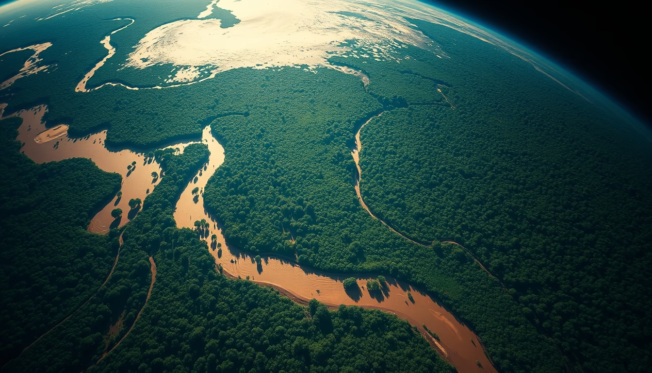
Monitoring satellites are crucial to detect and quantify deforestation in the Amazon, providing real-time data for environmental policies.
About this subject
Earth observation satellites such as Landsat, Sentinel, and Brazil's Amazonia-1 play a central role in monitoring deforestation in the Amazon. The Brazilian National Institute for Space Research (INPE) operates systems like DETER and PRODES, which use satellite imagery to generate daily alerts and annual estimates of forest loss. These data help identify critical areas, support law enforcement, and inform public policies aimed at curbing illegal deforestation.
Satellite images capture changes in vegetation cover with spatial resolutions ranging from 10 to 30 meters, making it possible to detect small-scale deforestation. Optical and radar sensors can penetrate clouds at certain frequencies, but continuous coverage still faces challenges due to the region's heavy cloud cover. Therefore, the combination of multiple satellites and artificial intelligence techniques is increasingly used to improve alert accuracy.
The importance of this monitoring extends beyond science: it is essential for enforcing Brazil's Forest Code, which requires landowners to maintain legal reserves. Historical data from PRODES show deforestation peaks in 1995 and 2004, with over 27,000 km² cleared per year, and it remains a key indicator for Brazil's climate commitments. Satellite data transparency allows civil society and the international community to track deforestation in near real time, pressuring for more effective action.
Frequently Asked Questions
How do satellites detect deforestation in the Amazon?
Optical and radar sensors on satellites capture changes in vegetation cover. INPE uses the DETER system to issue daily alerts by comparing images from different dates, identifying areas where forest has been removed.
Which satellites are used to monitor the Amazon?
Key satellites include Landsat (USA), Sentinel-2 (Europe), CBERS (China-Brazil), and Amazonia-1 (Brazil). They offer different spatial and temporal resolutions and are combined to increase observation frequency.
How often is the Amazon imaged by satellites?
Satellites like Sentinel-2 revisit the same area every 5 days, but effective coverage is reduced by clouds. The Amazon has less than 30% cloud-free days per year on average, requiring multiple sensors and image compositing techniques.
Direct URL
https://pub-c7d6a6ea828543ac903a74a341ccb2e1.r2.dev/imagens/amazon-deforestation-satellite-high-fashion-editorial-fresh5.avifHow to credit
Include a visible link back to UtilizAí. Copy one of the snippets below:
<a href="https://xn--utiliza-eza.com/en/midia/imagens/amazon-deforestation-satellite-high-fashion-editorial-fresh5">Amazon deforestation satellite</a> by <a href="https://xn--utiliza-eza.com">UtilizAí</a>, licensed under <a href="https://creativecommons.org/licenses/by/4.0/">CC BY 4.0</a>.
[Amazon deforestation satellite](https://xn--utiliza-eza.com/en/midia/imagens/amazon-deforestation-satellite-high-fashion-editorial-fresh5) by [UtilizAí](https://xn--utiliza-eza.com), CC BY 4.0
License: CC-BY-4.0





