Amazon deforestation satellite
1344×768 · AVIF · CC BY 4.0
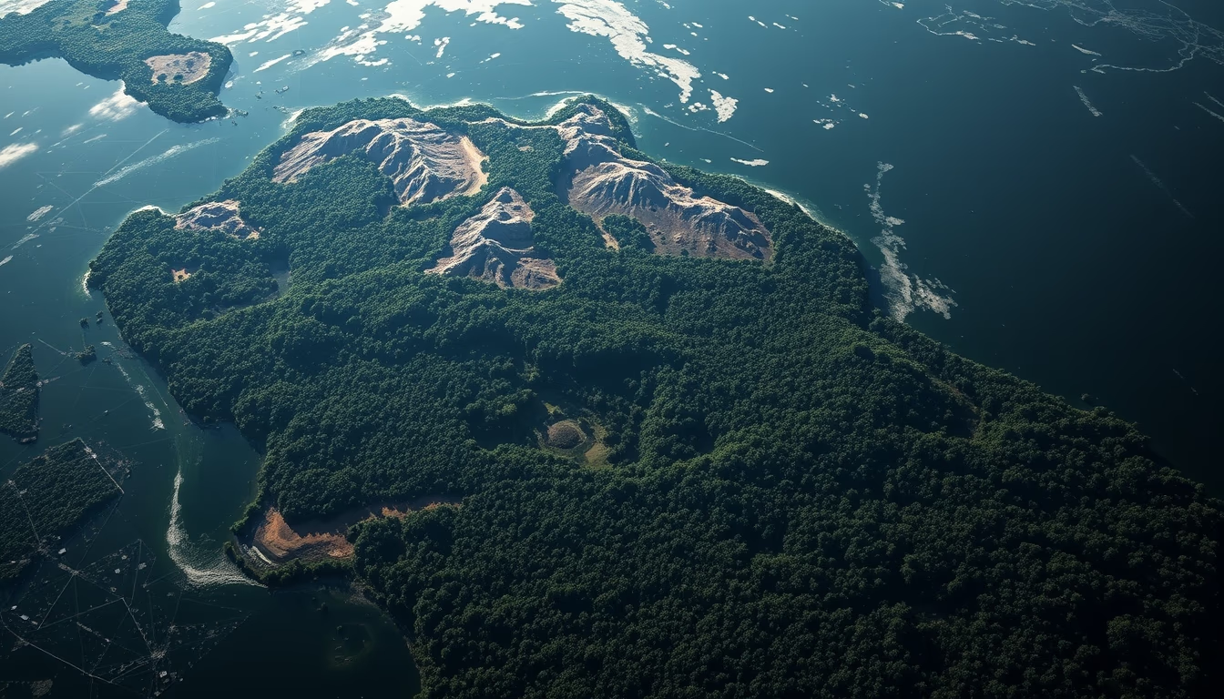
Monitoring satellites are crucial for detecting deforestation in the Amazon, providing real-time data to agencies like INPE.
About this subject
Since the 1970s, satellites such as Landsat (USA) and the CBERS program (Brazil-China) have been used to map forest cover in the Amazon. The DETER system, operated by Brazil's National Institute for Space Research (INPE), uses satellite imagery to provide near-real-time deforestation alerts, enabling enforcement actions. Over 60% of the Amazon biome lies within Brazilian territory, making remote monitoring essential due to the region's vast size and limited accessibility.
The MODIS sensor aboard NASA's Terra and Aqua satellites captures moderate-resolution images, ideal for detecting fires and rapid changes. The Sentinel-2 satellites (European Copernicus program) provide multispectral imagery at 10 to 60 meters resolution, critical for distinguishing primary forests from degraded areas. In 2023, INPE recorded approximately 5,000 km² of deforestation, a decrease from previous years but still alarming.
Radar technology, such as that on Japan's ALOS satellite, enables monitoring even under dense cloud cover common in the Amazon. Historical data show that between 2004 and 2012, deforestation rates fell by 80% thanks to satellite-based enforcement policies. Today, programs like the Amazon Monitoring Program (PRODES) use annual images to generate official statistics. Combining different sensors and revisit frequencies increases the effectiveness of combating illegal deforestation.
Frequently Asked Questions
Which satellite is most used to monitor deforestation in the Amazon?
Landsat (USA) and CBERS (Brazil-China) are the oldest. Currently, Sentinel-2 (Europe) and MODIS (NASA) are widely used, along with INPE's DETER system that integrates multiple sensors.
How do satellites detect deforestation?
They capture multispectral and radar images. Differences in vegetation reflectance indicate clear-cutting or degradation. Algorithms compare images from different dates to identify changes in forest cover.
Can satellites see through clouds in the Amazon?
Optical satellites like Landsat and Sentinel-2 cannot. Radar sensors (e.g., on ALOS) are used to penetrate clouds, ensuring continuous monitoring even during the rainy season.
Direct URL
https://pub-c7d6a6ea828543ac903a74a341ccb2e1.r2.dev/imagens/amazon-deforestation-satellite-fine-art-photography-fresh1.avifHow to credit
Include a visible link back to UtilizAí. Copy one of the snippets below:
<a href="https://xn--utiliza-eza.com/en/midia/imagens/amazon-deforestation-satellite-fine-art-photography-fresh1">Amazon deforestation satellite</a> by <a href="https://xn--utiliza-eza.com">UtilizAí</a>, licensed under <a href="https://creativecommons.org/licenses/by/4.0/">CC BY 4.0</a>.
[Amazon deforestation satellite](https://xn--utiliza-eza.com/en/midia/imagens/amazon-deforestation-satellite-fine-art-photography-fresh1) by [UtilizAí](https://xn--utiliza-eza.com), CC BY 4.0
License: CC-BY-4.0





