Compass map outdoor
1344×768 · AVIF · CC BY 4.0
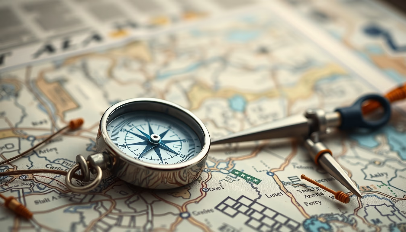
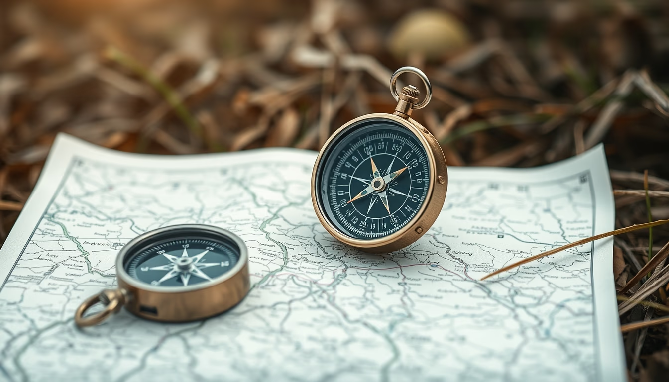
Compass and map are essential tools for land navigation, used in outdoor activities and survival situations.
About this subject
The compass is an instrument that uses Earth's magnetic field to indicate magnetic north. Its invention dates back to ancient China, around the 2nd century BC, when it was used for divination and later for maritime navigation. In terrestrial contexts, the compass gained prominence with the development of modern orienteering, especially during the 19th and 20th centuries, with the rise of mountaineering, exploration, and survival activities. There are various types of compasses, from simple magnetic needle models to plate compasses with lenses and scales, such as those made by Silva, a world reference.
The map, on the other hand, is a graphic representation of the terrain. Topographic maps, like those from IBGE in Brazil, include contour lines, hydrography, and landmarks, enabling precise navigation. To use a compass with a map, one must orient the map to north (aligning its lines with magnetic or true north) and then plot azimuths for travel. Magnetic declination, the difference between magnetic and geographic north, must be adjusted, especially in regions with high variation, such as parts of Brazil.
In survival situations, a compass and map are vital when electronic devices fail. Basic skills include finding north without a compass (by sun shadow or stars) and using the map to plan safe routes, avoiding obstacles and locating water sources. In Brazil, terrestrial navigation traditions were refined by indigenous peoples and rubber tappers in the Amazon, who combine natural references with simple compasses.
Today, the use of compasses and maps has declined with the advent of GPS, but it is still taught in survival and orienteering courses. Reliability and independence from batteries make these instruments a valued skill for adventurers and military personnel.
Frequently Asked Questions
How to use a compass with a map?
First, orient the map to north by aligning its grid lines with the compass needle (adjust for local magnetic declination). Then, identify your starting point and destination on the map, measure the azimuth with the compass, and follow that direction, keeping the needle aligned with the orienting arrow.
What is magnetic declination and why is it important?
Magnetic declination is the angle between magnetic north (compass) and true north (geographic). It varies by location and changes over time. Ignoring it can cause navigation errors of many degrees, especially in areas with high declination, such as parts of Brazil.
What is the difference between a compass and GPS for land navigation?
A compass works without batteries and does not rely on satellite signals, remaining reliable in any weather or remote areas. GPS provides precise coordinates and ease of use, but can fail due to dead batteries, signal obstruction, or electromagnetic interference. Ideally, use both.
Direct URL
https://pub-c7d6a6ea828543ac903a74a341ccb2e1.r2.dev/imagens/compass-map-outdoor-studio-still-life-fresh7.avifHow to credit
Include a visible link back to UtilizAí. Copy one of the snippets below:
<a href="https://xn--utiliza-eza.com/en/midia/imagens/compass-map-outdoor-studio-still-life-fresh7">Compass map outdoor</a> by <a href="https://xn--utiliza-eza.com">UtilizAí</a>, licensed under <a href="https://creativecommons.org/licenses/by/4.0/">CC BY 4.0</a>.
[Compass map outdoor](https://xn--utiliza-eza.com/en/midia/imagens/compass-map-outdoor-studio-still-life-fresh7) by [UtilizAí](https://xn--utiliza-eza.com), CC BY 4.0
License: CC-BY-4.0