Compass map outdoor
1344×768 · AVIF · CC BY 4.0
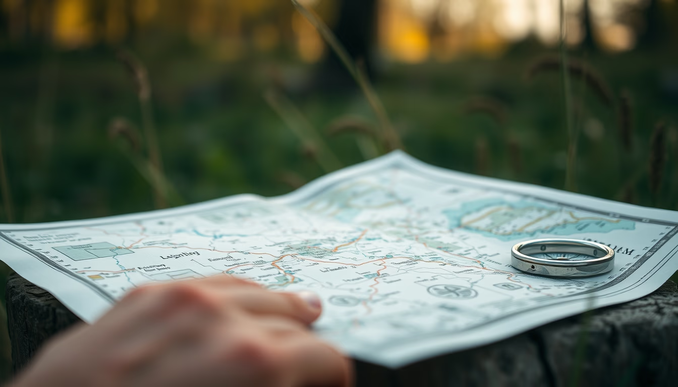
Compass and map are essential tools for navigation in natural environments, especially in survival situations.
About this subject
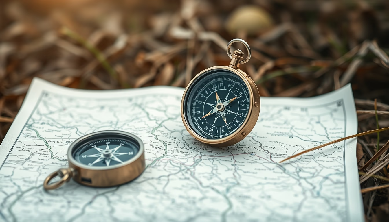
The combination of compass and map is one of the oldest and most reliable land navigation techniques. Before the advent of GPS, explorers, military personnel, and adventurers relied solely on these instruments to orient themselves in forests, deserts, and mountains. The compass, invented in China during the Han dynasty (2nd century BC), uses Earth's magnetic field to indicate magnetic north, while the topographic map provides detailed information about terrain, waterways, and landmarks.
In survival contexts, knowing how to use a compass and map can mean the difference between finding shelter and getting lost. Techniques such as triangulating position using visible landmarks or calculating azimuths allow for precise location determination. Many survival courses teach magnetic declination (the difference between magnetic and true north), which varies by region and is crucial for accurate navigation.
The global outdoor culture values analog navigation knowledge as a form of self-reliance and safety in remote areas. Even with modern technology, experts recommend carrying a map and compass as a backup since they don't depend on batteries or satellite signals. In Brazil, expeditions in the Amazon or mountain ranges often use these instruments.
Interestingly, modern compass designs, such as baseplate compasses, incorporate scales and rulers to facilitate map reading. Orienteering with map and compass is taught in programs like Scouting and trekking courses, being a skill valued by adventurers and professionals alike.
Frequently Asked Questions
What is the difference between magnetic north and true north?
Magnetic north is the direction the compass needle points, influenced by Earth's magnetic field. True north is the geographic North Pole. The difference is called magnetic declination, which varies by location and must be accounted for in navigation.
How do you use a map and compass for orientation?
First, align the compass with the map's north (adjusting for declination). Then, identify landmarks around you and use the compass to measure azimuths. Triangulation with two or more points allows you to determine your position on the map.
Does a compass work everywhere in the world?
Yes, a compass works everywhere, but magnetic declination varies. Near the magnetic poles, the needle may behave erratically. Therefore, it is important to know the local declination and use up-to-date maps.
Direct URL
https://pub-c7d6a6ea828543ac903a74a341ccb2e1.r2.dev/imagens/compass-map-outdoor-documentary-photography-fresh13.avifHow to credit
Include a visible link back to UtilizAí. Copy one of the snippets below:
<a href="https://xn--utiliza-eza.com/en/midia/imagens/compass-map-outdoor-documentary-photography-fresh13">Compass map outdoor</a> by <a href="https://xn--utiliza-eza.com">UtilizAí</a>, licensed under <a href="https://creativecommons.org/licenses/by/4.0/">CC BY 4.0</a>.
[Compass map outdoor](https://xn--utiliza-eza.com/en/midia/imagens/compass-map-outdoor-documentary-photography-fresh13) by [UtilizAí](https://xn--utiliza-eza.com), CC BY 4.0
License: CC-BY-4.0