Agronomist with tablet in field analyzing crop data
1344×768 · AVIF · CC BY 4.0
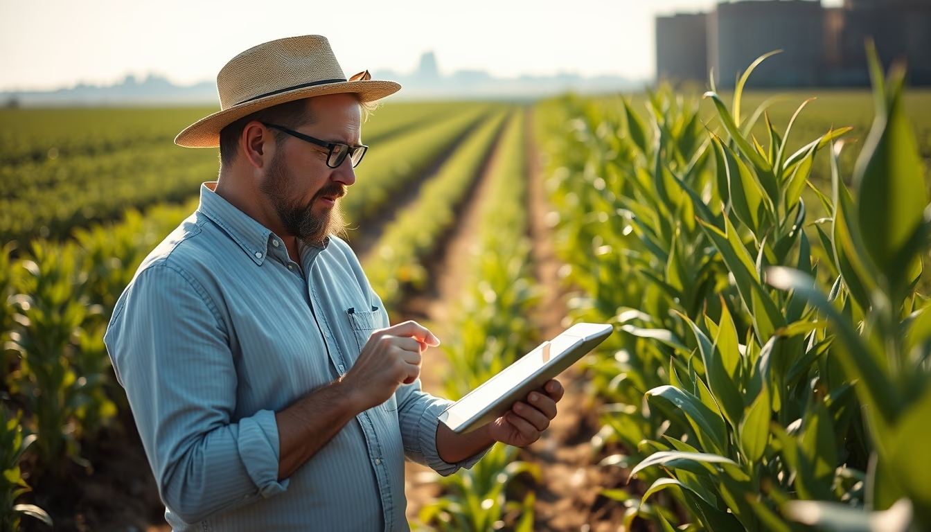
Agronomist uses tablet in the field to analyze crop data, optimizing agricultural productivity with precision technology.
About this subject
Precision agriculture has transformed the work of agronomists, who now use digital tools to monitor crops in real time. With a tablet in hand, the professional accesses data from sensors, drones, and satellite imagery to assess plant health, soil moisture, and input needs. In Brazil, the world's largest exporter of soybeans, coffee, and sugar, this technology is crucial for maintaining competitiveness. It is estimated that precision agriculture can increase productivity by up to 30% and reduce fertilizer and pesticide costs by 20%.
The tablet replaces manual notebooks and spreadsheets, allowing georeferencing of exact points in the field. Software like Climate FieldView and AgLeader integrates data from harvesters and tractors, generating productivity maps and specific recommendations. The agronomist can, for example, identify water deficit zones and adjust localized irrigation, or detect pests early through computer vision algorithms.
Beyond economic gains, this practice contributes to environmental sustainability. By applying inputs only where needed, the impact on soil and water resources is reduced. Brazil has over 60 million hectares under precision agriculture, according to Embrapa, and adoption grows each harvest. The field professional becomes a data manager, combining agronomic knowledge with IT skills.
Interestingly, the image shows a symmetric, bright midday scene, an ideal time for evaluating canopy closure and water stress. The sun's position provides better contrast for visual plant analysis, although the tablet offers more accurate data than the naked eye.
Frequently Asked Questions
What is precision agriculture?
It is a farm management system that uses information technology to monitor and optimize production, applying inputs locally based on soil, climate, and plant data.
What tools does the agronomist use in the field?
Besides the tablet, the professional uses drones, moisture sensors, GPS, analysis software, and satellite imagery to collect and interpret crop data.
How does precision agriculture benefit the environment?
It reduces waste of fertilizers and pesticides, decreases soil compaction from machinery traffic, and preserves water resources by applying water only where needed.
Direct URL
https://pub-c7d6a6ea828543ac903a74a341ccb2e1.r2.dev/imagens/agronomist-with-tablet-in-field-analyzing-crop-data-symmetric-bright-midday-6.avifHow to credit
Include a visible link back to UtilizAí. Copy one of the snippets below:
<a href="https://xn--utiliza-eza.com/en/midia/imagens/agronomist-with-tablet-in-field-analyzing-crop-data-symmetric-bright-midday-6">Agronomist with tablet in field analyzing crop data</a> by <a href="https://xn--utiliza-eza.com">UtilizAí</a>, licensed under <a href="https://creativecommons.org/licenses/by/4.0/">CC BY 4.0</a>.
[Agronomist with tablet in field analyzing crop data](https://xn--utiliza-eza.com/en/midia/imagens/agronomist-with-tablet-in-field-analyzing-crop-data-symmetric-bright-midday-6) by [UtilizAí](https://xn--utiliza-eza.com), CC BY 4.0
License: CC-BY-4.0