Tropical island aerial drone
1344×768 · AVIF · CC BY 4.0
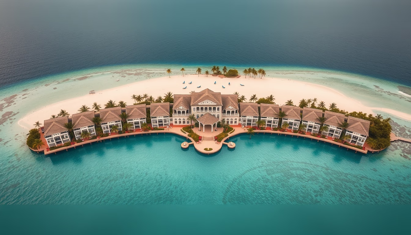
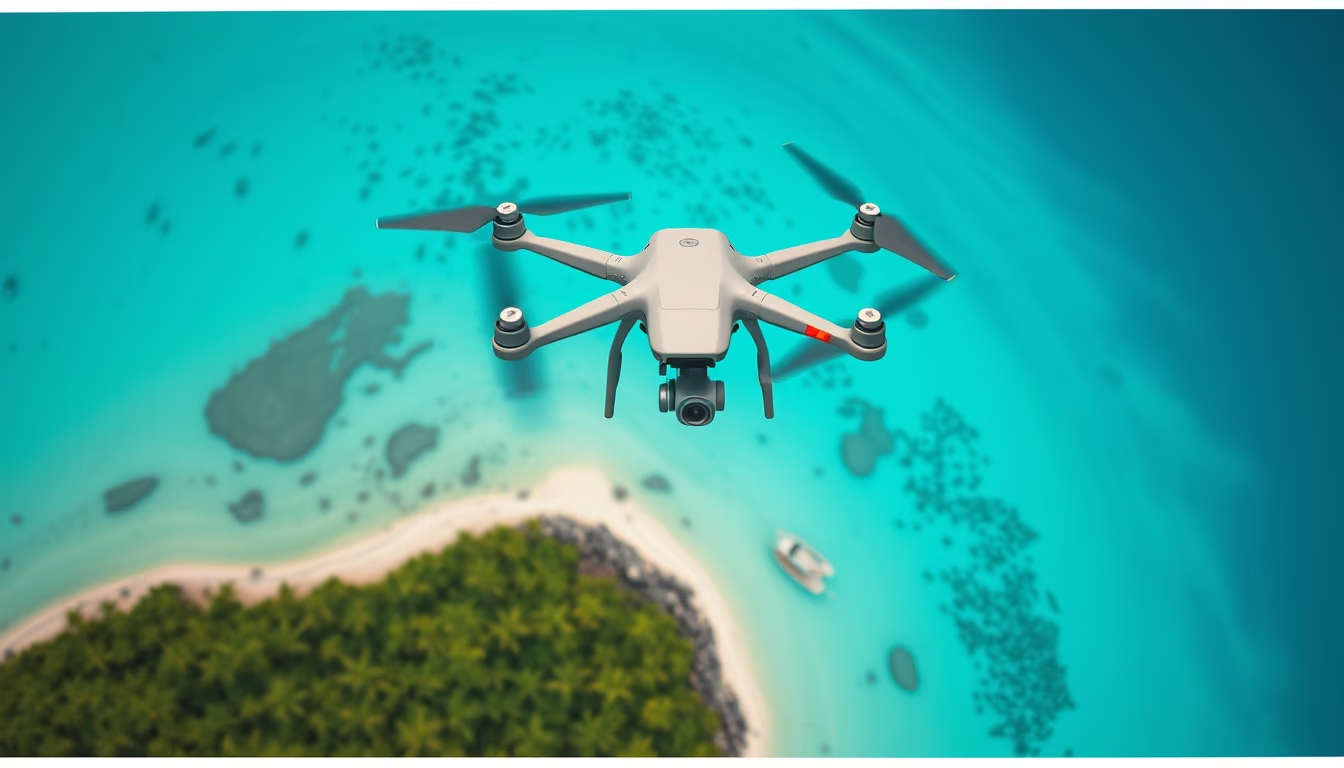
Aerial view of a tropical island with crystal-clear waters and white sand, captured by drone for architectural photography of resorts and coastal landscapes.
About this subject
Tropical islands are unique ecosystems, often formed by volcanic activity or coral reefs, hosting lush biodiversity. From above, aerial perspectives reveal the geometry of beaches, the transition from deep ocean blue to shallow turquoise over reefs, and dense vegetation inland. In architectural photography, drones are essential tools to capture resorts, villas, and tourist infrastructure in harmony with the natural environment. The island could be a destination like Fernando de Noronha, the Maldives, or Hawaii, but the generic image represents the ideal tropical paradise. Drone usage for this purpose has grown exponentially since 2010, enabling angles previously impossible without helicopters. These images are used in tourism campaigns, real estate sales, and destination marketing. The 'trending-2026' tag points to increased autonomous flights and AI-driven image processing, generating orthophotos and 3D models of islands and resorts. Aerial architectural photography emphasizes the integration of buildings with their surroundings, highlighting infinity pools, overwater bungalows, and sand paths.
Frequently Asked Questions
Why are drones used in architectural photography of tropical islands?
Drones capture wide, elevated angles that show the relationship between buildings and the natural environment, such as beaches, reefs, and vegetation. This is vital for luxury resorts and hotels aiming to highlight their paradise location.
What geographical features define a tropical island?
Tropical islands typically have warm climate, dense vegetation (like palm trees), white or golden sand beaches, and crystal-clear waters. Many are surrounded by coral reefs that protect the coast and create natural pools.
How does aerial photography contribute to sustainable tourism?
Aerial images help plan land use, monitor coastal erosion, and promote destinations responsibly. By showcasing natural beauty, they encourage conservation and conscious tourism.
Direct URL
https://pub-c7d6a6ea828543ac903a74a341ccb2e1.r2.dev/imagens/tropical-island-aerial-drone-architectural-photography-p4.avifHow to credit
Include a visible link back to UtilizAí. Copy one of the snippets below:
<a href="https://xn--utiliza-eza.com/en/midia/imagens/tropical-island-aerial-drone-architectural-photography-p4">Tropical island aerial drone</a> by <a href="https://xn--utiliza-eza.com">UtilizAí</a>, licensed under <a href="https://creativecommons.org/licenses/by/4.0/">CC BY 4.0</a>.
[Tropical island aerial drone](https://xn--utiliza-eza.com/en/midia/imagens/tropical-island-aerial-drone-architectural-photography-p4) by [UtilizAí](https://xn--utiliza-eza.com), CC BY 4.0
License: CC-BY-4.0