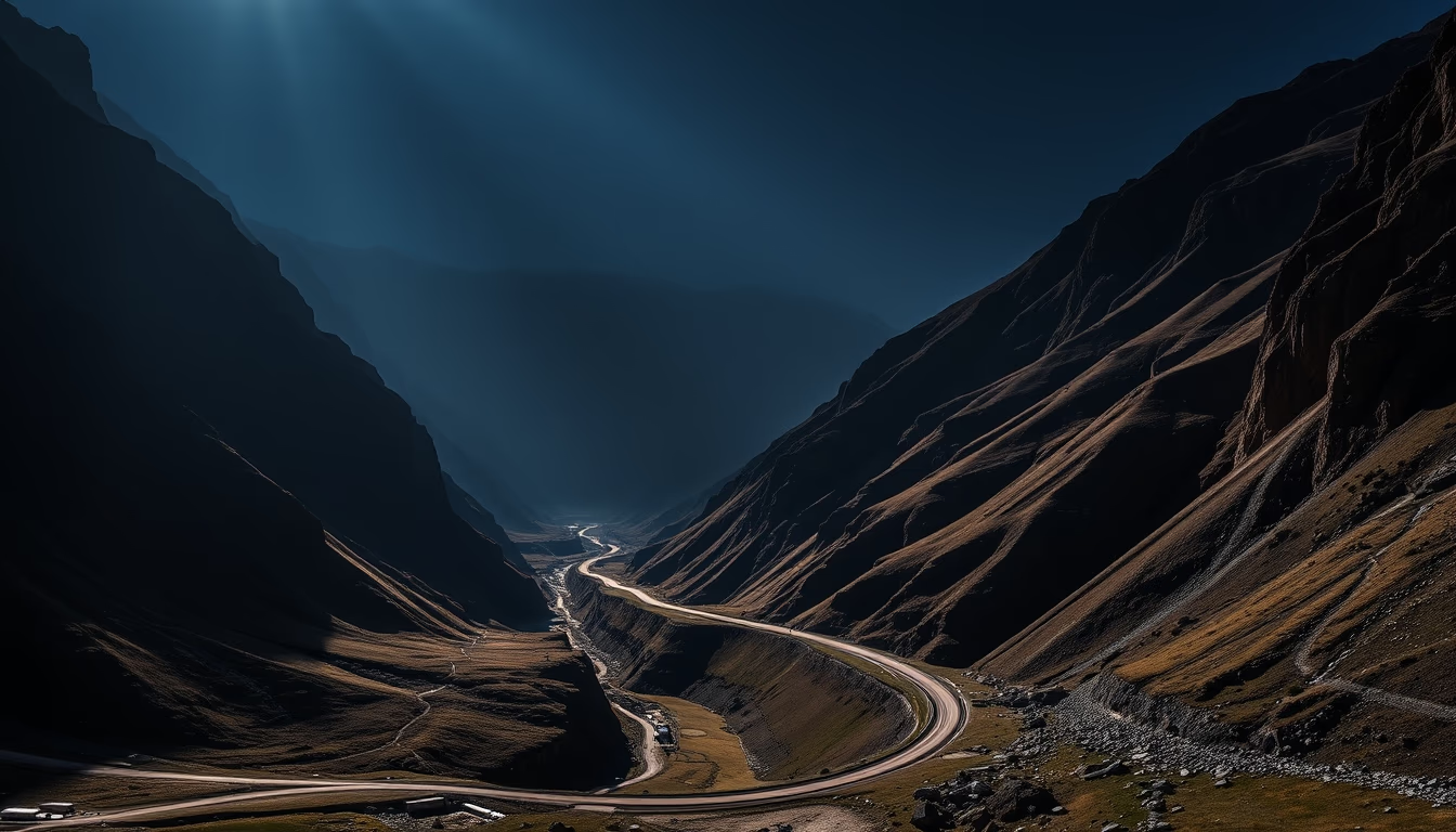
Trollstigen norway
1344×768 · AVIF · CC BY 4.0
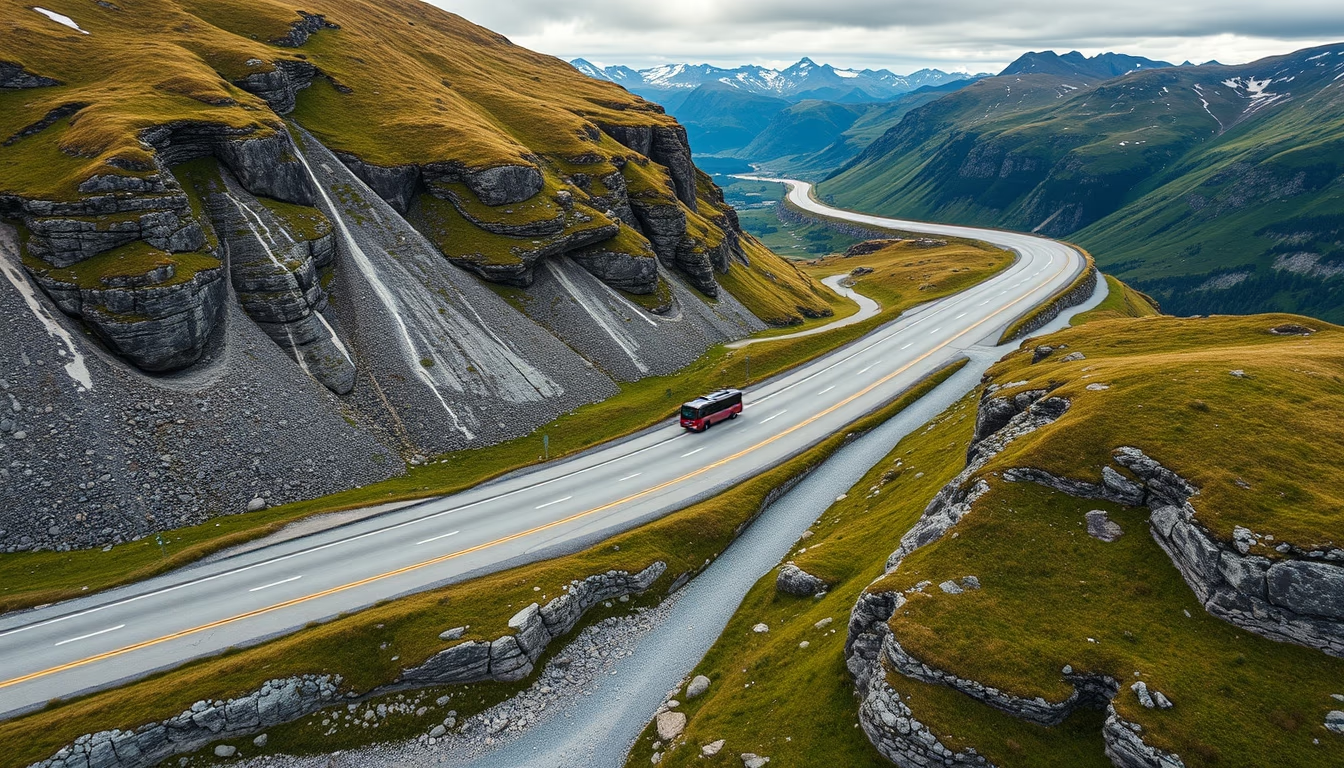
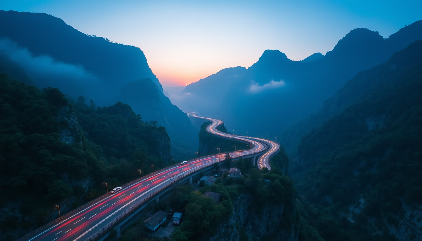
Trollstigen, the Norwegian mountain road with eleven hairpin bends, is one of Europe's most dramatic scenic routes, connecting Åndalsnes to the Romsdal valley.
About this subject
Trollstigen, also known as the Troll's Path, is a mountain road located in Møre og Romsdal county, Norway. Opened in 1936 after eight years of construction, it is part of Norwegian National Road 63 and stretches about 106 kilometers between Åndalsnes and Geiranger. The most iconic feature of the route is the eleven tight hairpin bends that ascend the steep mountainside, offering spectacular views of the Romsdal valley and the Stigfossen waterfall, which plunges 320 meters alongside the road.
The engineering behind Trollstigen was remarkable for its time, with the road carved into the rock and supported by stone retaining walls. At the top, the Trollstigen Plateau viewpoint (Trollstigen Udsigtspunkt) was designed by architect Reiulf Ramstad and inaugurated in 2012, featuring a viewing platform that juts out over the abyss. The road is only open during the summer months, typically from mid-May to October, due to harsh weather and avalanche risks in winter.
Culturally, Trollstigen is a symbol of Norwegian nature tourism and attracts visitors from around the world. The name "Trollstigen" means "troll's ladder," referring to mythical creatures from Scandinavian folklore that supposedly inhabit the mountains. The route is also part of the Geiranger, Trollstigen National Tourist Route, considered one of the most scenic in the country. Beyond the dramatic landscape, the area offers opportunities for hiking, fishing, and wildlife observation, including reindeer and eagles.
Interestingly, the road has been modernized over the years to improve safety, including the installation of guardrails and escape lanes for vehicles with brake failure. Despite this, gradients of up to 12% in some sections require driver attention. Trollstigen has also served as a backdrop for automotive commercials and films, cementing its status as a landmark of road engineering and adventure tourism in Scandinavia.
Frequently Asked Questions
What is the best time to visit Trollstigen?
The road is usually open from mid-May to October, depending on weather conditions. Summer (June to August) offers the best conditions with long days and mild temperatures, but it is also the busiest period.
Is it safe to drive on Trollstigen?
Yes, as long as speed limits are respected and low gears are used on descents. The road has guardrails and escape lanes. Vehicles over 12.4 meters in length are prohibited on certain sections.
How long does it take to drive Trollstigen?
The entire route between Åndalsnes and Geiranger takes about 2 to 3 hours without stops, but it is recommended to allow half a day to enjoy viewpoints and short hikes.
Direct URL
https://pub-c7d6a6ea828543ac903a74a341ccb2e1.r2.dev/imagens/trollstigen-norway-isometric-flat-lay-fresh10.avifHow to credit
Include a visible link back to UtilizAí. Copy one of the snippets below:
<a href="https://xn--utiliza-eza.com/en/midia/imagens/trollstigen-norway-isometric-flat-lay-fresh10">Trollstigen norway</a> by <a href="https://xn--utiliza-eza.com">UtilizAí</a>, licensed under <a href="https://creativecommons.org/licenses/by/4.0/">CC BY 4.0</a>.
[Trollstigen norway](https://xn--utiliza-eza.com/en/midia/imagens/trollstigen-norway-isometric-flat-lay-fresh10) by [UtilizAí](https://xn--utiliza-eza.com), CC BY 4.0
License: CC-BY-4.0