Satellite in orbit earth blue
1344×768 · AVIF · CC BY 4.0
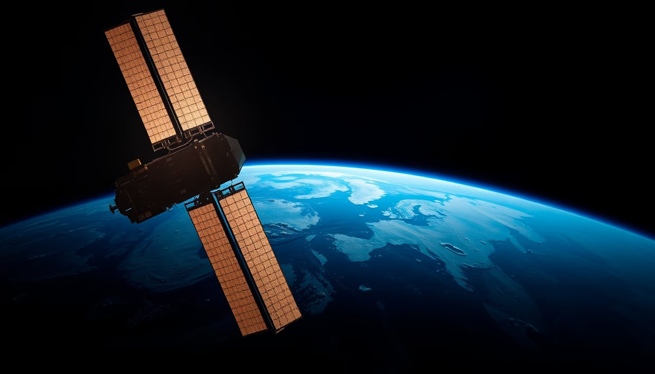
Satellites orbiting Earth are essential for communications, climate monitoring, and scientific research, capturing the blue planet's features.
About this subject
Artificial satellites are objects intentionally placed into orbit around Earth to perform specific functions. Since the launch of Sputnik 1 in 1957, thousands of satellites have been sent into space, revolutionizing areas such as telecommunications, weather forecasting, navigation, and Earth observation. The characteristic blue color of our planet, seen from space, results from the scattering of sunlight by the atmosphere and the presence of oceans, a phenomenon that fascinates astronauts and is constantly documented by remote sensing satellites.
Among Earth observation satellites, the Landsat series, operated by NASA and the U.S. Geological Survey, stands out for providing high-resolution images to monitor deforestation, urbanization, agriculture, and coastal changes. Other examples include weather satellites like GOES and Meteosat, which track hurricanes and storms, and communication satellites such as Starlink and Iridium, ensuring global connectivity. The International Space Station, though a crewed station, also serves as an observation platform.
The concept of "fine art photography" applied to satellite imagery gained prominence with projects like NASA's Earth as Art, which transforms raw data into aesthetically striking compositions. These photographs not only hold scientific value but also inspire artistic appreciation, showcasing abstract patterns of clouds, oceans, and continents. The "trending-2026" tag suggests that high-quality satellite images will become even more accessible, driven by advances in cubesats and multispectral imaging.
Interestingly, the first full-color photograph of the entire Earth taken from space was the famous "Blue Marble" in 1972, by Apollo 17, not by an unmanned satellite. Since then, satellites like Suomi NPP and DSCOVR continue to produce iconic images of the blue planet, reminding us of the fragility and beauty of our home in space.
Frequently Asked Questions
How many satellites are currently orbiting Earth?
It is estimated that there are over 8,000 satellites in orbit, with about 5,000 active. Most are in low Earth orbit (LEO), between 200 and 2,000 km altitude.
Why are satellites important for weather forecasting?
Weather satellites provide continuous images of cloud cover, surface temperature, and humidity, enabling real-time monitoring of storms, hurricanes, and climate phenomena.
How are satellite images used in art?
Projects like NASA's Earth as Art select and process satellite images to highlight visual patterns and colors, creating works that blend science and aesthetics, often exhibited in galleries.
Direct URL
https://pub-c7d6a6ea828543ac903a74a341ccb2e1.r2.dev/imagens/satellite-in-orbit-earth-blue-fine-art-photography-p6.avifHow to credit
Include a visible link back to UtilizAí. Copy one of the snippets below:
<a href="https://xn--utiliza-eza.com/en/midia/imagens/satellite-in-orbit-earth-blue-fine-art-photography-p6">Satellite in orbit earth blue</a> by <a href="https://xn--utiliza-eza.com">UtilizAí</a>, licensed under <a href="https://creativecommons.org/licenses/by/4.0/">CC BY 4.0</a>.
[Satellite in orbit earth blue](https://xn--utiliza-eza.com/en/midia/imagens/satellite-in-orbit-earth-blue-fine-art-photography-p6) by [UtilizAí](https://xn--utiliza-eza.com), CC BY 4.0
License: CC-BY-4.0