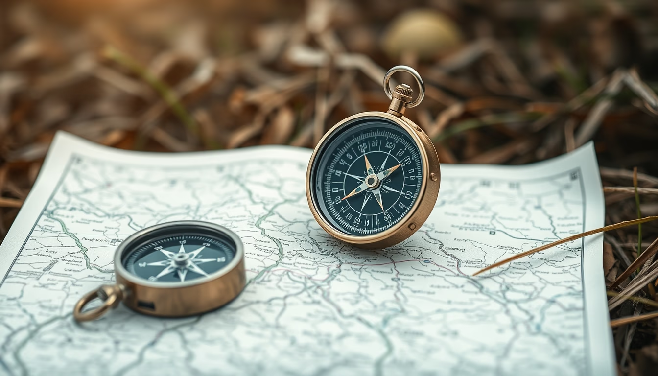
Compass map outdoor
1344×768 · AVIF · CC BY 4.0
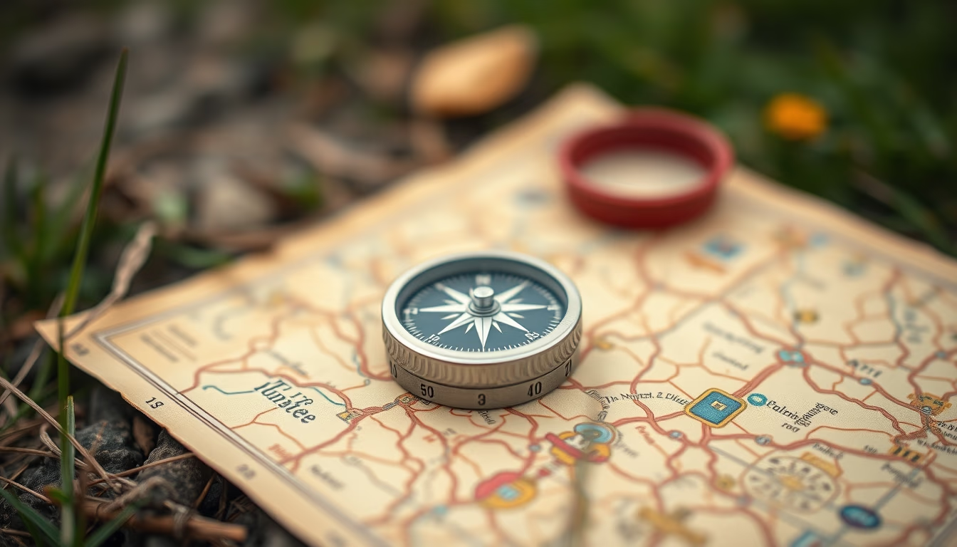
Compass and map are essential tools for outdoor navigation, used in survival activities and exploration.
About this subject
A compass is an orientation instrument that uses Earth's magnetic field to indicate magnetic north. Combined with a topographic map, it allows the user to determine location, plan routes, and navigate remote environments without relying on digital technology. From early Chinese models in the 11th century to modern lensatic and baseplate compasses, this device has evolved to meet the needs of military personnel, adventurers, and search-and-rescue professionals.
The map, in turn, is a graphic representation of terrain, with contour lines, hydrography, and landmarks. In survival situations, knowing how to read a map and use a compass can mean the difference between finding shelter and getting lost. Techniques like triangulation, azimuth, and magnetic declination are fundamental for accurate navigation. Orienteering has turned this knowledge into a competitive sport.
In global contexts, land navigation is a critical skill for hikers, scouts, and armed forces. Regions like the Amazon rainforest, the Himalayas, and the Arctic require mastery of these tools. The compass also holds historical symbolism: it enabled the Age of Discovery and territorial expansion. Even with GPS, the compass remains reliable because it does not depend on batteries or satellite signals.
A fascinating detail: magnetic declination varies by location and time, requiring periodic map updates. In 2020, the magnetic north pole moved about 40 km toward Russia. Understanding the difference between true north and magnetic north is therefore essential for precise navigation.
Frequently Asked Questions
How to use a compass with a map?
Place the map on a flat surface, align the compass with the map's north grid (adjusting for magnetic declination), and rotate the map until the needle points to magnetic north. Use the compass edge to plot routes and measure azimuths.
What is the difference between true north and magnetic north?
True north is the geographic North Pole. Magnetic north is the point the compass needle points to, which shifts over time. The angular difference is called magnetic declination.
Is a compass still useful with GPS?
Yes, because GPS depends on battery and satellite signal. A compass works without power, is lightweight, and serves as a reliable backup in emergencies.
Direct URL
https://pub-c7d6a6ea828543ac903a74a341ccb2e1.r2.dev/imagens/compass-map-outdoor-tilt-shift-miniature-fresh11.avifHow to credit
Include a visible link back to UtilizAí. Copy one of the snippets below:
<a href="https://xn--utiliza-eza.com/en/midia/imagens/compass-map-outdoor-tilt-shift-miniature-fresh11">Compass map outdoor</a> by <a href="https://xn--utiliza-eza.com">UtilizAí</a>, licensed under <a href="https://creativecommons.org/licenses/by/4.0/">CC BY 4.0</a>.
[Compass map outdoor](https://xn--utiliza-eza.com/en/midia/imagens/compass-map-outdoor-tilt-shift-miniature-fresh11) by [UtilizAí](https://xn--utiliza-eza.com), CC BY 4.0
License: CC-BY-4.0