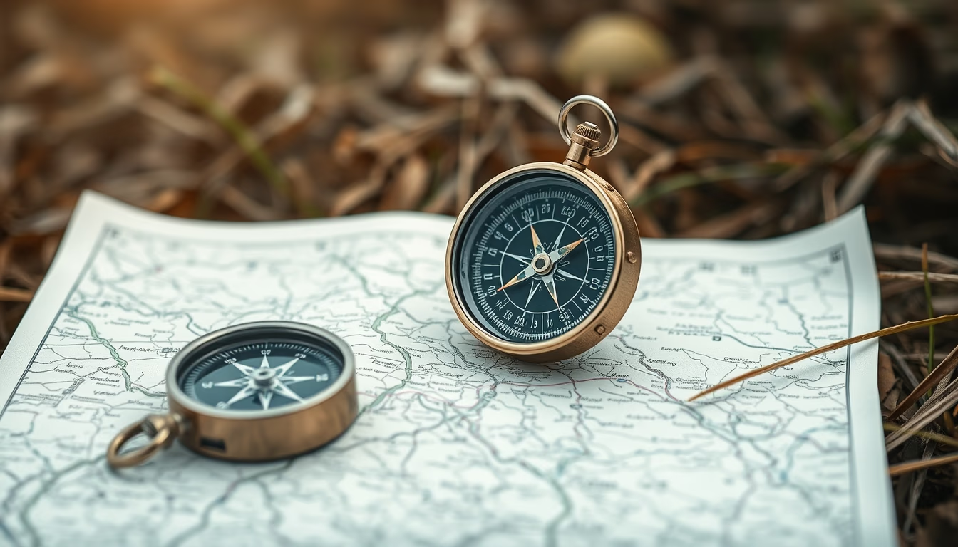
Compass map outdoor
1344×768 · AVIF · CC BY 4.0
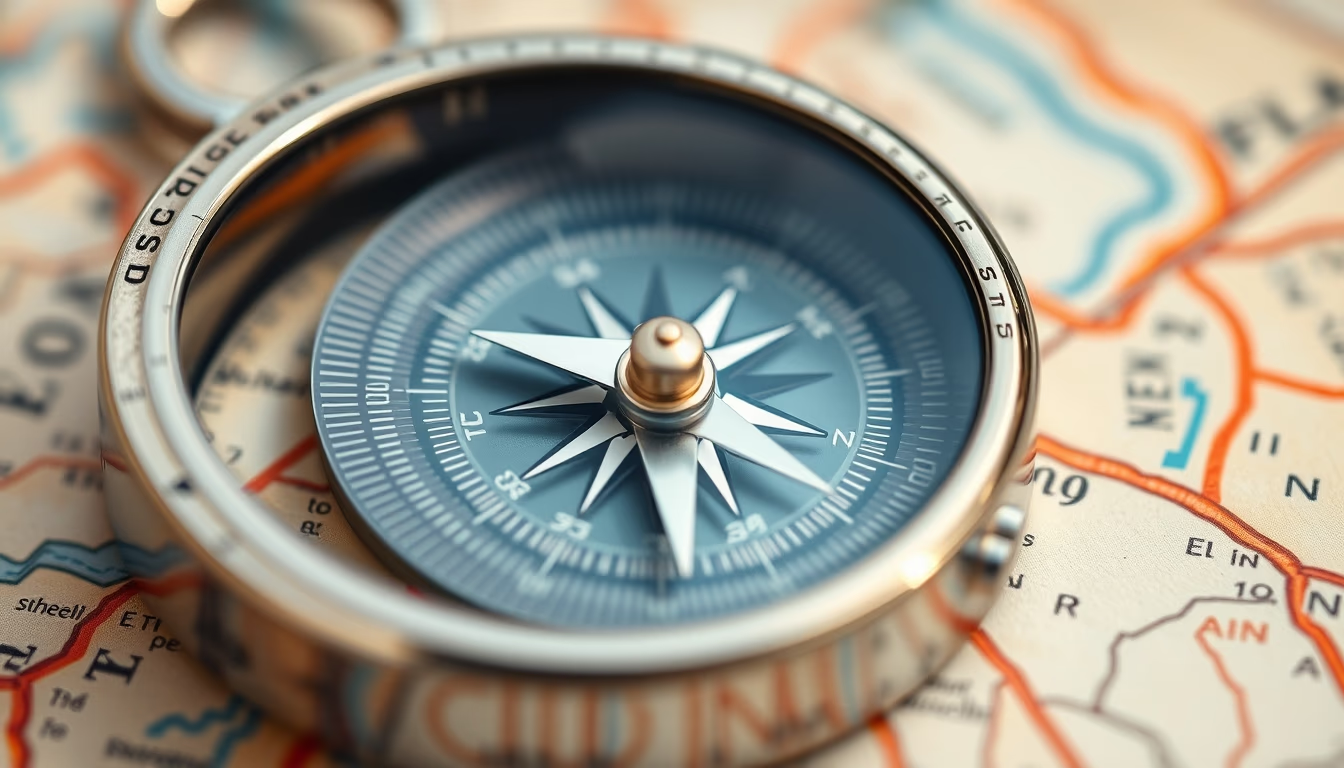
Compass and map are essential tools for outdoor navigation, combining magnetic orientation with cartographic representation of terrain.
About this subject
A compass is a navigation instrument that uses Earth's magnetic field to indicate magnetic north. When combined with a topographic map, it allows the user to determine their position, plan routes, and maintain correct direction even in areas without visual references. There are various models, such as the baseplate compass and the lensatic compass, each suited to different experience levels and terrain types.
The history of the compass dates back to ancient China around the 2nd century BC, when lodestones (natural magnets) were used to align buildings. Its use for maritime navigation spread to Europe by the 11th century. Today, despite the advancement of GPS, the compass remains indispensable in survival activities because it does not depend on batteries or satellite signals. Knowing how to use it with a map is a basic skill for any adventurer.
To use a compass with a map, you must adjust for magnetic declination (the difference between magnetic north and true north) and align the needle with the map's grid lines. Techniques like triangulation help locate reference points. In emergency situations, a compass can prevent disorientation and increase chances of rescue.
Fun fact: the word "compass" comes from the Italian "bussola," originally meaning a small box. The basic design remains the same: a magnetized needle mounted on a pivot inside a liquid-filled capsule to dampen oscillations.
Frequently Asked Questions
How do I use a compass with a map?
First, adjust for magnetic declination on the map. Place the compass on the map aligning the direction arrow with the map's north. Rotate the compass until the magnetic needle aligns with the orienting arrow. The desired direction is shown by the travel arrow.
What's the difference between magnetic north and true north?
Magnetic north is where compasses point, located in the Canadian Arctic. True north (geographic north) is the North Pole. The angular difference is called magnetic declination and varies by location.
What if I get lost without a compass?
Look for natural landmarks (mountains, rivers) and use the sun or stars for direction. If you have an analog watch, point the hour hand at the sun; the midpoint between it and 12 o'clock indicates north (in the southern hemisphere).
Direct URL
https://pub-c7d6a6ea828543ac903a74a341ccb2e1.r2.dev/imagens/compass-map-outdoor-macro-closeup-fresh17.avifHow to credit
Include a visible link back to UtilizAí. Copy one of the snippets below:
<a href="https://xn--utiliza-eza.com/en/midia/imagens/compass-map-outdoor-macro-closeup-fresh17">Compass map outdoor</a> by <a href="https://xn--utiliza-eza.com">UtilizAí</a>, licensed under <a href="https://creativecommons.org/licenses/by/4.0/">CC BY 4.0</a>.
[Compass map outdoor](https://xn--utiliza-eza.com/en/midia/imagens/compass-map-outdoor-macro-closeup-fresh17) by [UtilizAí](https://xn--utiliza-eza.com), CC BY 4.0
License: CC-BY-4.0