Compass map outdoor
1344×768 · AVIF · CC BY 4.0
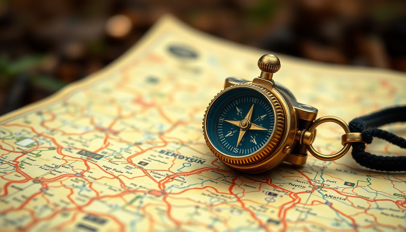
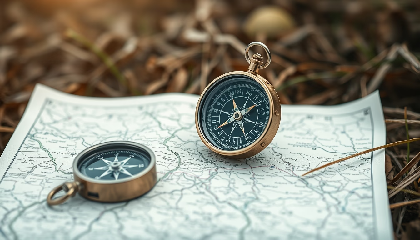
Compass and map are essential tools for land navigation, used in outdoor activities like trekking and survival.
About this subject
A compass is a navigation instrument that uses Earth's magnetic field to indicate magnetic north. When combined with a topographic map, it allows the user to orient themselves, plot routes, and locate landmarks even without GPS signal. Proper use requires knowledge of concepts such as magnetic declination, azimuth, and contour lines.
Detailed topographic maps show relief, hydrography, trails, and buildings. In Brazil, IBGE produces maps at scales 1:50,000 and 1:100,000, widely used by adventurers and professionals. The Mountain Warfare School and the Brazilian Army train land navigation techniques with compass and map, essential for rescue operations and remote areas.
Practicing navigation with these instruments develops autonomy and safety. In emergencies, knowing how to read a map and use a compass can mean the difference between finding your way back or getting lost. Also, the compass does not rely on batteries, being reliable in any weather condition.
Interestingly, the compass was invented in China during the Han dynasty and initially used for divination and geology. Only later was it applied to maritime navigation, revolutionizing European explorations in the 15th century.
Frequently Asked Questions
How do you use a compass with a map?
Align the compass with the map so the direction arrow points to map north. Rotate the compass housing until the magnetic needle aligns with the north marking. Choose an azimuth to follow and keep the compass level while walking.
What is the difference between true north and magnetic north?
True north is the point where Earth's rotational axis meets the surface. Magnetic north is where the magnetic field points straight down. The difference, called magnetic declination, varies by location and time.
Does a compass work anywhere in the world?
Yes, a magnetic compass works almost everywhere, except near the magnetic poles where the needle may wobble. Declination maps help correct the reading for your region.
Direct URL
https://pub-c7d6a6ea828543ac903a74a341ccb2e1.r2.dev/imagens/compass-map-outdoor-lo-fi-disposable-camera-fresh6.avifHow to credit
Include a visible link back to UtilizAí. Copy one of the snippets below:
<a href="https://xn--utiliza-eza.com/en/midia/imagens/compass-map-outdoor-lo-fi-disposable-camera-fresh6">Compass map outdoor</a> by <a href="https://xn--utiliza-eza.com">UtilizAí</a>, licensed under <a href="https://creativecommons.org/licenses/by/4.0/">CC BY 4.0</a>.
[Compass map outdoor](https://xn--utiliza-eza.com/en/midia/imagens/compass-map-outdoor-lo-fi-disposable-camera-fresh6) by [UtilizAí](https://xn--utiliza-eza.com), CC BY 4.0
License: CC-BY-4.0