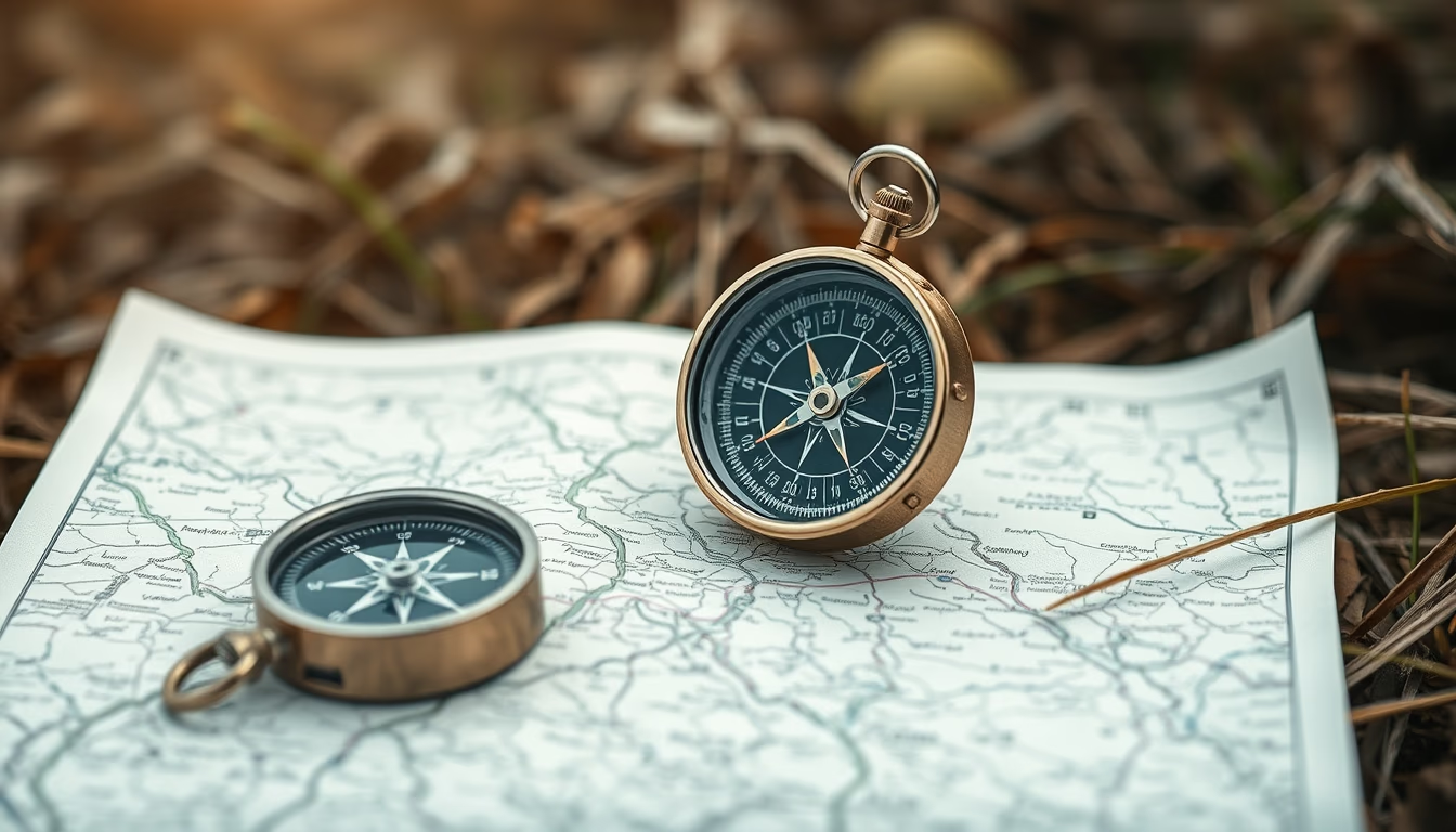
Compass map outdoor
1344×768 · AVIF · CC BY 4.0
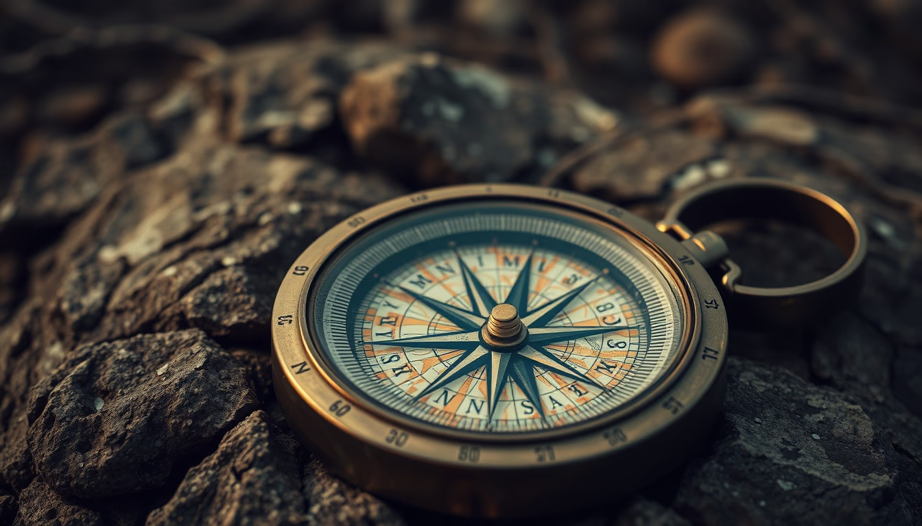
Compass and map are essential tools for outdoor navigation, combining traditional orientation with precision on trails and expeditions.
About this subject
The compass, invented in China during the Han dynasty around the 2nd century BC, is an instrument that uses the Earth's magnetic field to indicate north. When combined with topographic maps, it forms the basis of land navigation, allowing adventurers to determine directions and plan routes without relying on GPS. Topographic maps, such as those from the USGS, depict contour lines, water bodies, and vegetation, and are indispensable for activities like trekking, mountaineering, and rescue expeditions.
The skill of reading a map and using a compass, known as orienteering, is taught in survival courses and practiced in the sport of foot orienteering. Unlike satellite navigation, these methods require no batteries or signal, making them reliable in remote areas. The combination of compass and map requires practice: one must calculate magnetic declination, adjusting for the difference between magnetic north and true north.
Culturally, the compass is a symbol of exploration and adventure, appearing in logos of outdoor brands and classic works like "The Lord of the Rings." In the United States, map and compass use is common in national parks like Yosemite and the Appalachian Trail. Despite modern apps simplifying navigation, analog knowledge remains an essential skill for any explorer.
Frequently Asked Questions
What is the difference between magnetic north and true north?
Magnetic north is where a compass needle points, located in the Canadian Arctic. True north is the geographic North Pole. The difference is called magnetic declination, which varies by location.
How do you use a compass with a topographic map?
First, align the compass edge with your desired route on the map. Rotate the bezel until the needle points north. Hold the compass level and follow the direction, adjusting for magnetic declination if needed.
Why is map and compass navigation still relevant?
It doesn't rely on batteries, cell signal, or satellites, making it reliable in emergencies and remote areas. It also develops a sense of direction and spatial awareness.
Direct URL
https://pub-c7d6a6ea828543ac903a74a341ccb2e1.r2.dev/imagens/compass-map-outdoor-high-fashion-editorial-fresh3.avifHow to credit
Include a visible link back to UtilizAí. Copy one of the snippets below:
<a href="https://xn--utiliza-eza.com/en/midia/imagens/compass-map-outdoor-high-fashion-editorial-fresh3">Compass map outdoor</a> by <a href="https://xn--utiliza-eza.com">UtilizAí</a>, licensed under <a href="https://creativecommons.org/licenses/by/4.0/">CC BY 4.0</a>.
[Compass map outdoor](https://xn--utiliza-eza.com/en/midia/imagens/compass-map-outdoor-high-fashion-editorial-fresh3) by [UtilizAí](https://xn--utiliza-eza.com), CC BY 4.0
License: CC-BY-4.0