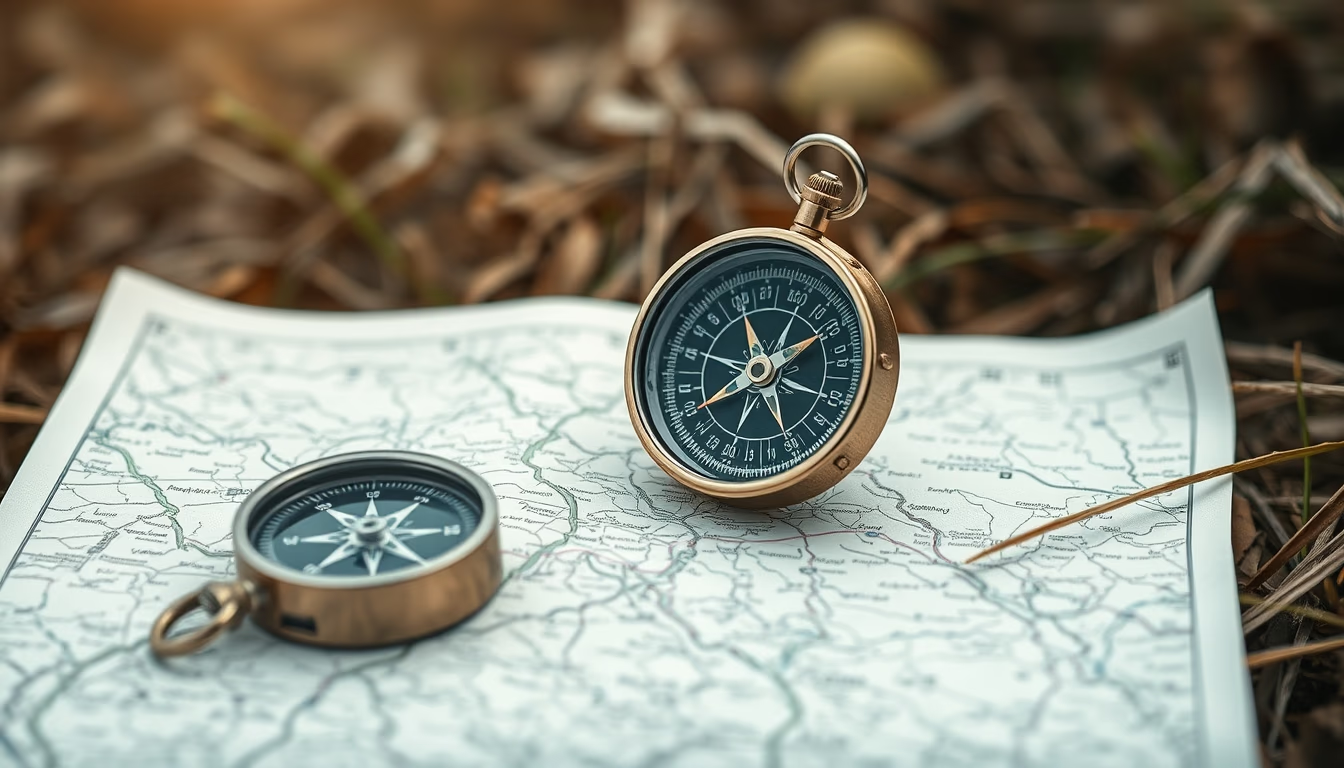
Compass map outdoor
1344×768 · AVIF · CC BY 4.0

Compass and map are essential tools for outdoor navigation, especially in survival and exploration activities.
About this subject
A compass is a navigation instrument that uses Earth's magnetic field to indicate magnetic north. Consisting of a magnetized needle that aligns with magnetic field lines, it enables the user to determine directions accurately. Common types include the baseplate compass (used with topographic maps), lensatic compass (for precise readings), and wrist compass (popular in hiking).
The map is a graphical representation of an area, featuring scale, contour lines, and symbols for terrain, water bodies, vegetation, and structures. Topographic maps are most common for land navigation as they depict terrain in detail. The combination of compass and map is crucial for orientation in trails, expeditions, and survival situations, allowing calculation of bearings, distances, and routes.
A key skill is correcting magnetic declination, the angle difference between magnetic north (compass) and true north (geographic). Ignoring this can cause route errors of hundreds of meters. Modern maps indicate local declination. Techniques like triangulation and reading UTM (Universal Transverse Mercator) coordinates are taught in navigation courses.
Historically, the compass was invented in China during the Han Dynasty (2nd century BC) as a divination tool, but became popular for maritime navigation in the 11th century. Mapmaking evolved with the Age of Discovery, culminating in modern topographic maps. In Brazil, the Army produces maps of the national cartographic system, essential for field activities.
Frequently Asked Questions
How to use compass and map correctly?
First, set the magnetic declination on the compass. Place the map on a flat surface and orient it by aligning map north with magnetic north shown by the compass. Then identify your starting point and destination on the map, draw a straight line, and measure the bearing with the compass. Walk while keeping the needle aligned with the direction-of-travel arrow.
What is the difference between a baseplate compass and a lensatic compass?
A baseplate compass is rectangular with a transparent base featuring scales and rulers, ideal for map use. A lensatic compass has a magnifying lens for precise dial readings, used in high-accuracy situations like military navigation.
What is magnetic declination and why is it important?
Magnetic declination is the angle between magnetic north (compass) and true north (geographic). It varies by location and changes over time. Adjusting for declination is crucial to avoid route errors, especially on long trips or in rough terrain.
Direct URL
https://pub-c7d6a6ea828543ac903a74a341ccb2e1.r2.dev/imagens/compass-map-outdoor-fish-eye-wide-angle-fresh10.avifHow to credit
Include a visible link back to UtilizAí. Copy one of the snippets below:
<a href="https://xn--utiliza-eza.com/en/midia/imagens/compass-map-outdoor-fish-eye-wide-angle-fresh10">Compass map outdoor</a> by <a href="https://xn--utiliza-eza.com">UtilizAí</a>, licensed under <a href="https://creativecommons.org/licenses/by/4.0/">CC BY 4.0</a>.
[Compass map outdoor](https://xn--utiliza-eza.com/en/midia/imagens/compass-map-outdoor-fish-eye-wide-angle-fresh10) by [UtilizAí](https://xn--utiliza-eza.com), CC BY 4.0
License: CC-BY-4.0