Compass map outdoor
1344×768 · AVIF · CC BY 4.0
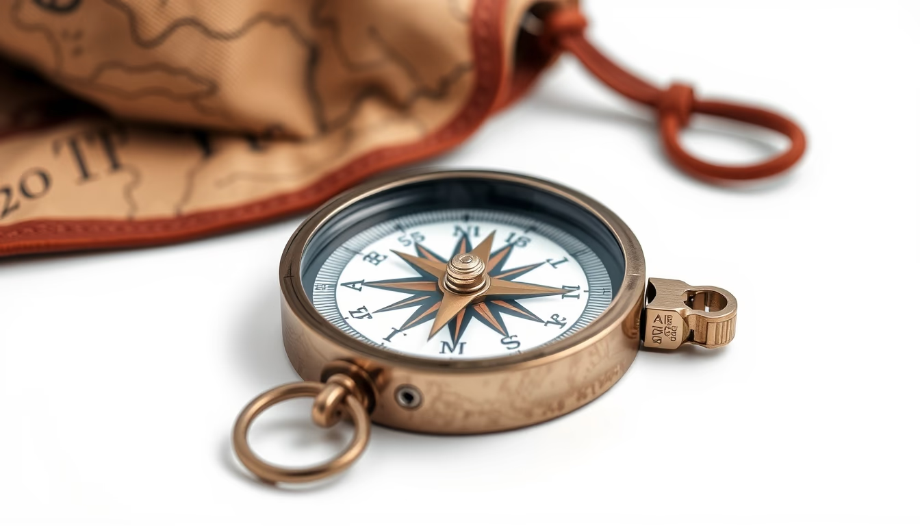
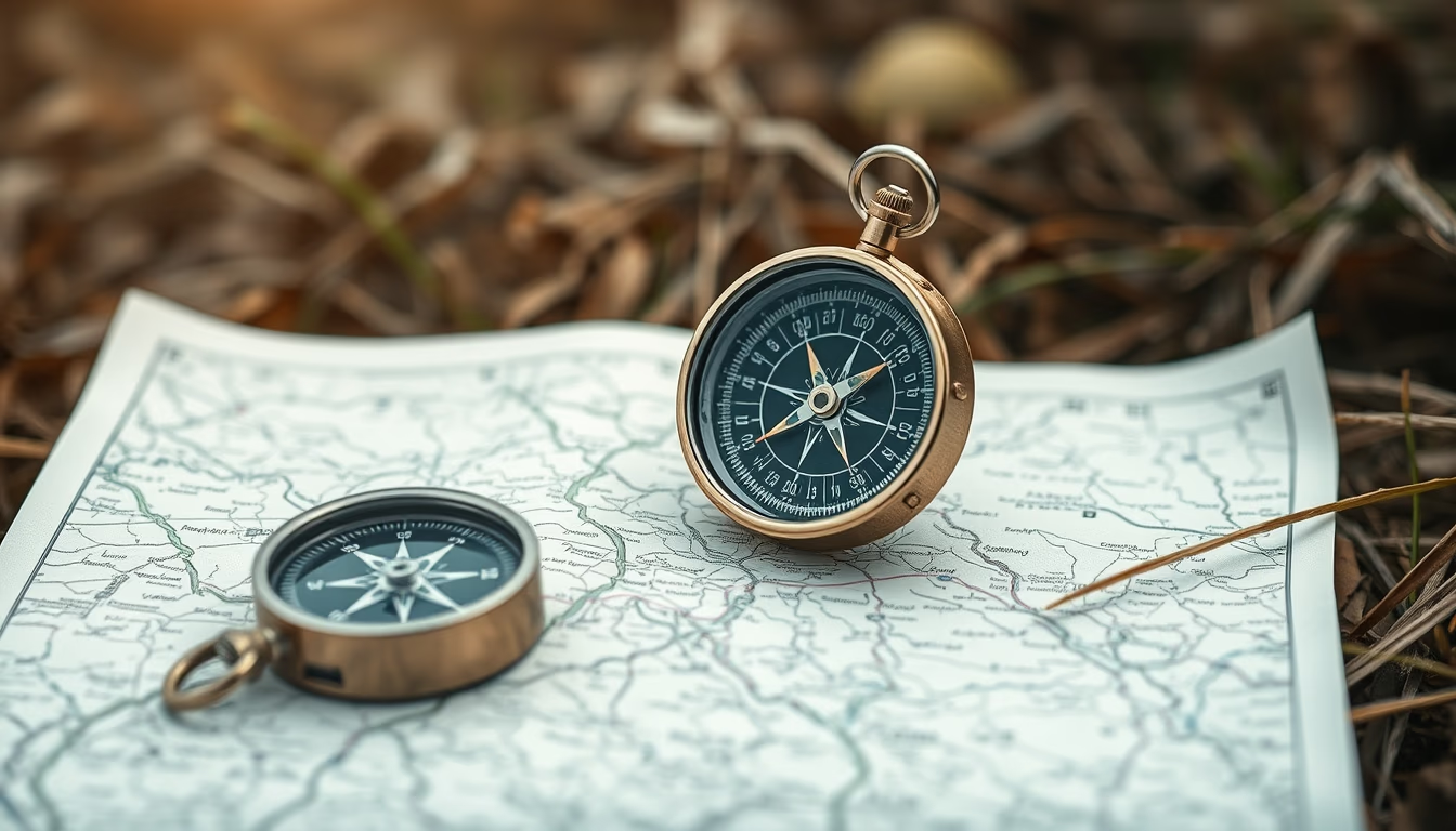
Compass and map are essential outdoor navigation tools, crucial for hiking, orienteering, and survival in remote areas.
About this subject
Traditional navigation with a compass and map is a skill that dates back centuries, predating modern GPS systems. Although electronic devices are popular, they depend on batteries and satellite signals, making them vulnerable in wilderness environments or during emergencies. Therefore, outdoor enthusiasts and survival experts emphasize the importance of knowing how to use these analog instruments.
The magnetic compass aligns with Earth's magnetic field, pointing to magnetic north. When combined with a topographic map, it is possible to determine the correct direction and estimate distances using coordinates and scale. Skills such as orienting the map (aligning it with true north), adjusting for magnetic declination, and plotting azimuths are taught in orienteering courses and are required for rescue certifications.
Globally, orienteering as a sport is governed by the International Orienteering Federation (IOF), with events held in forests and parks. In survival contexts, knowing how to read a map and use a compass can mean the difference between getting lost and finding shelter or water sources. For example, magnetic declination varies worldwide; in the United States, it ranges from about -10° on the East Coast to +15° on the West Coast, requiring adjustment for accuracy.
Interestingly, the modern compass was developed in China during the Han dynasty, but its widespread use for maritime navigation occurred in medieval Europe. Today, even with technology, military forces and search-and-rescue teams continue to train with map and compass as a fail-safe method.
Frequently Asked Questions
What is the difference between magnetic north and true north?
Magnetic north is the direction the compass needle points, which varies by location. True north is the geographic North Pole, which is fixed. The angular difference is called magnetic declination and must be accounted for in navigation.
How do you use a compass with a map?
First, orient the map by aligning its grid lines with the terrain's north using the compass. Then, take a bearing between two points and follow the direction indicated by the compass, keeping the needle aligned with the north marker.
Is a compass still useful with GPS?
Yes, because GPS can fail due to dead batteries or signal loss. A compass needs no power and works anywhere. For survival or long hikes, it is recommended to carry both.
Direct URL
https://pub-c7d6a6ea828543ac903a74a341ccb2e1.r2.dev/imagens/compass-map-outdoor-commercial-product-photography-fresh1.avifHow to credit
Include a visible link back to UtilizAí. Copy one of the snippets below:
<a href="https://xn--utiliza-eza.com/en/midia/imagens/compass-map-outdoor-commercial-product-photography-fresh1">Compass map outdoor</a> by <a href="https://xn--utiliza-eza.com">UtilizAí</a>, licensed under <a href="https://creativecommons.org/licenses/by/4.0/">CC BY 4.0</a>.
[Compass map outdoor](https://xn--utiliza-eza.com/en/midia/imagens/compass-map-outdoor-commercial-product-photography-fresh1) by [UtilizAí](https://xn--utiliza-eza.com), CC BY 4.0
License: CC-BY-4.0