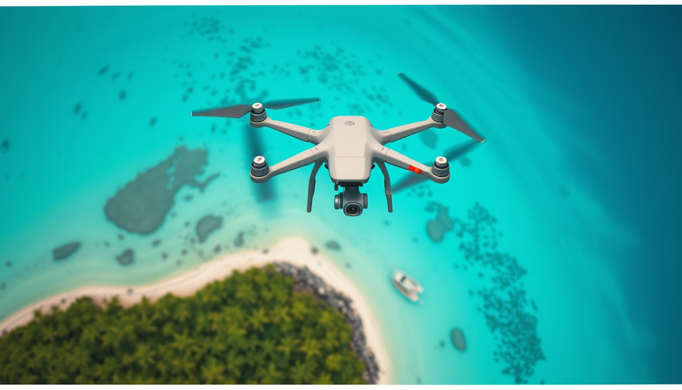
Tropical island aerial drone
1344×768 · AVIF · CC BY 4.0
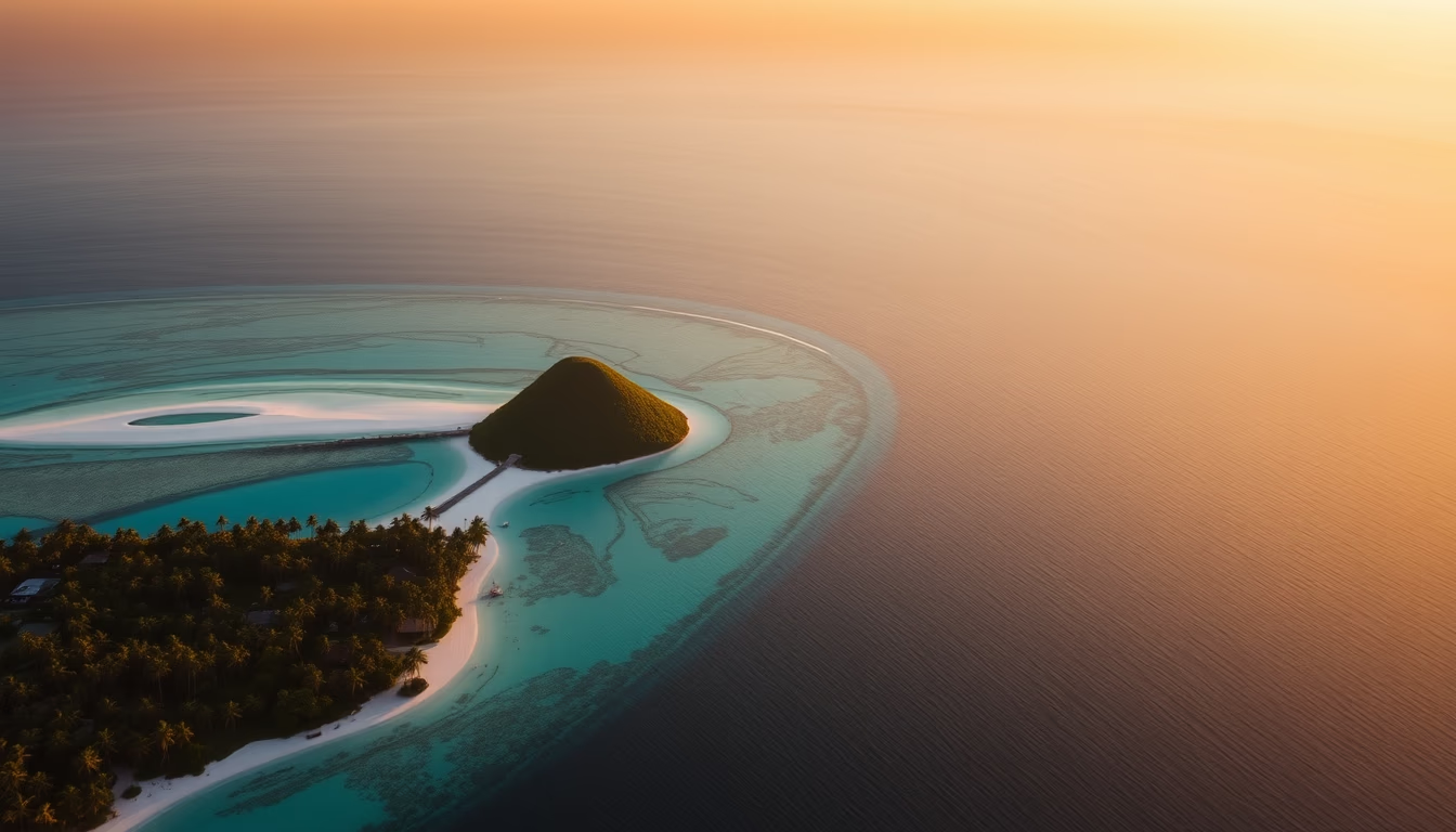
Aerial views of tropical islands reveal the beauty of marine ecosystems and the importance of coastal preservation.
About this subject
Tropical islands are geological formations often originating from volcanic activity or accumulation of coral reefs. The Fernando de Noronha archipelago in Brazil is an example of a volcanic island with crystalline waters and rich marine biodiversity. These environments harbor coral reefs, which are essential for marine life and protect the coast from erosion. Aerial drone photography has become a valuable tool for documenting these locations, offering unique perspectives that highlight the interaction between land and sea. However, drone use in protected areas requires authorization from agencies like ICMBio in Brazil to avoid disturbing wildlife. Tropical islands are also popular tourist destinations, but unchecked tourism can threaten ecosystems. Sustainable practices, such as visitor limits and waste control, are adopted in places like the Maldives and the Caribbean. Global warming poses a serious risk: rising ocean temperatures cause coral bleaching, endangering biodiversity. Coral restoration projects and the creation of marine protected areas are ongoing initiatives to mitigate these impacts.
Frequently Asked Questions
What are the best tropical islands for aerial photography?
Standouts include Fernando de Noronha (Brazil), the Maldives, Bora Bora (French Polynesia), and the Yasawa Islands (Fiji), known for crystal-clear waters and coral reefs.
Is it allowed to fly drones over preserved tropical islands?
Generally yes, but with restrictions. In Brazil, authorization from ICMBio is required for conservation units. Many countries require drone registration and insurance.
How does climate change affect tropical islands?
Rising sea levels and coral bleaching threaten biodiversity and coastal protection. Low-lying islands like the Maldives may become submerged if warming continues.
Direct URL
https://pub-c7d6a6ea828543ac903a74a341ccb2e1.r2.dev/imagens/tropical-island-aerial-drone-travel-photography-p1.avifHow to credit
Include a visible link back to UtilizAí. Copy one of the snippets below:
<a href="https://xn--utiliza-eza.com/en/midia/imagens/tropical-island-aerial-drone-travel-photography-p1">Tropical island aerial drone</a> by <a href="https://xn--utiliza-eza.com">UtilizAí</a>, licensed under <a href="https://creativecommons.org/licenses/by/4.0/">CC BY 4.0</a>.
[Tropical island aerial drone](https://xn--utiliza-eza.com/en/midia/imagens/tropical-island-aerial-drone-travel-photography-p1) by [UtilizAí](https://xn--utiliza-eza.com), CC BY 4.0
License: CC-BY-4.0