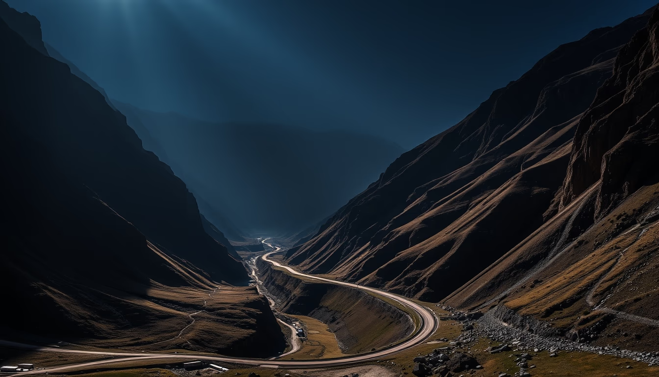
Icefields parkway canada
1344×768 · AVIF · CC BY 4.0

The Icefields Parkway is one of the most scenic drives in the world, connecting Banff to Jasper in Canada and offering spectacular views of the Rocky Mountains.
About this subject
The Icefields Parkway, officially Highway 93 North, stretches 232 kilometers between the towns of Banff and Jasper in Alberta, Canada. Opened in 1940, the highway cuts through the heart of the Canadian Rocky Mountains and is managed by Parks Canada. Along the route, visitors encounter imposing glaciers like the Athabasca Glacier and Dome Glacier, as well as turquoise-hued lakes such as Peyto Lake and Bow Summit Lake. The road also passes the famous Columbia Icefield, one of the largest ice fields in the Northern Hemisphere, covering 325 square kilometers.
The route is part of two national parks, Banff and Jasper, both designated UNESCO World Heritage Sites. While driving, it is common to spot wildlife including grizzly bears, moose, mountain goats, and bighorn sheep. The ideal driving period is from May to October when the road is fully open. In winter, some sections may close due to snow accumulation, but the snow-covered landscape attracts photographers and adventurers.
The Icefields Parkway is an engineering masterpiece that provides access to some of the most remote and pristine landscapes in Canada. It offers multiple stopover points with short trails, such as the trail to Athabasca Natural Bridge and the panoramic view of Tangle Creek Falls. Additionally, the Columbia Icefield Skywalk, a glass-floored platform suspended over a canyon, offers an immersive experience above the glaciers.
Historically, the road's construction was a challenge due to rugged terrain and severe weather. Workers faced avalanches and extreme temperatures to complete the project, which today is considered one of the most beautiful roads in the world by travel rankings.
Frequently Asked Questions
How long is the Icefields Parkway?
The Icefields Parkway stretches 232 kilometers (144 miles), connecting Banff and Jasper in Alberta, Canada.
What is the Columbia Icefield?
The Columbia Icefield is one of the largest ice fields in the Northern Hemisphere, covering 325 square kilometers. It is accessible from the Icefields Parkway and includes the Athabasca Glacier.
When is the best time to drive the Icefields Parkway?
The best time is from May to October when the road is fully open. In winter, sections may close due to snow, but the scenery remains spectacular.
Direct URL
https://pub-c7d6a6ea828543ac903a74a341ccb2e1.r2.dev/imagens/icefields-parkway-canada-magazine-editorial-fresh8.avifHow to credit
Include a visible link back to UtilizAí. Copy one of the snippets below:
<a href="https://xn--utiliza-eza.com/en/midia/imagens/icefields-parkway-canada-magazine-editorial-fresh8">Icefields parkway canada</a> by <a href="https://xn--utiliza-eza.com">UtilizAí</a>, licensed under <a href="https://creativecommons.org/licenses/by/4.0/">CC BY 4.0</a>.
[Icefields parkway canada](https://xn--utiliza-eza.com/en/midia/imagens/icefields-parkway-canada-magazine-editorial-fresh8) by [UtilizAí](https://xn--utiliza-eza.com), CC BY 4.0
License: CC-BY-4.0