Greenland ice sheet aerial
1344×768 · AVIF · CC BY 4.0
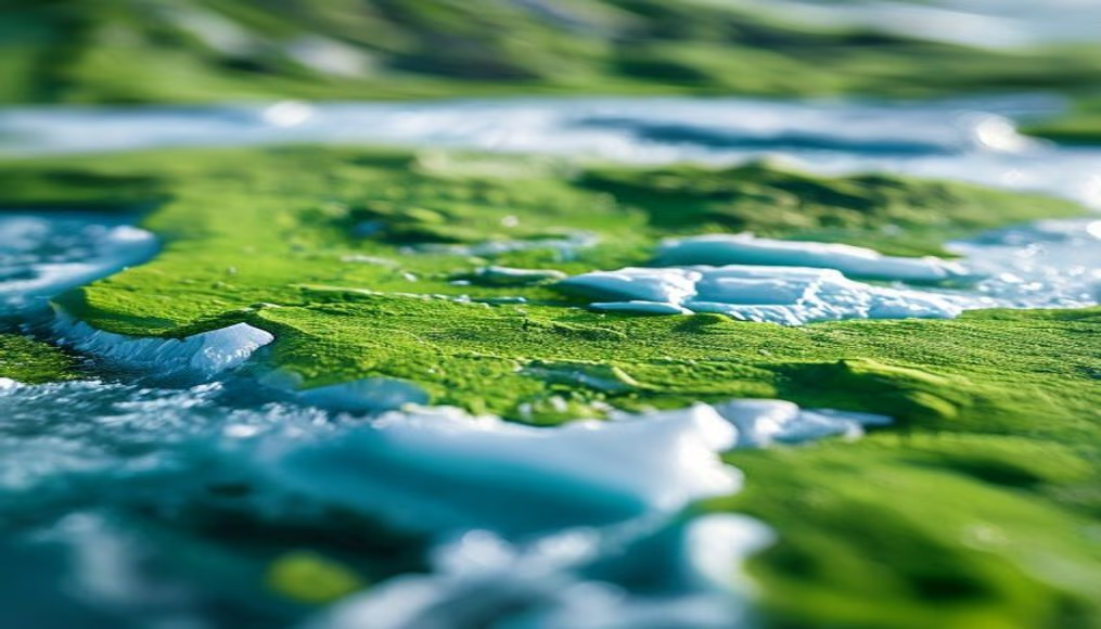
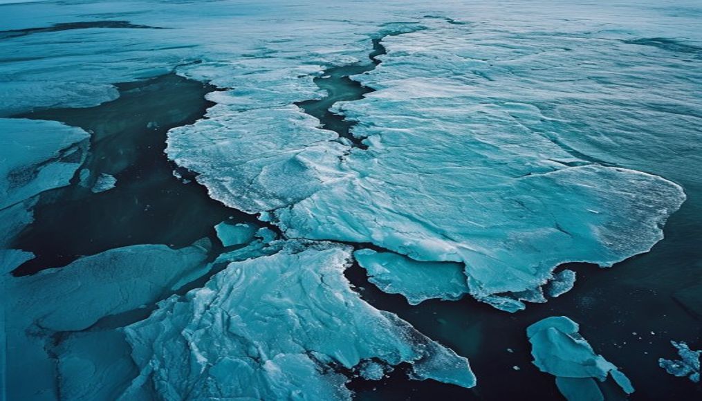
The Greenland ice sheet, the world's second largest, seen from an aerial perspective that highlights its vastness and the patterns created by melting.
About this subject
The Greenland ice sheet covers roughly 1.7 million square kilometers, about 80% of the island's land area. Its average thickness is 1.6 km, reaching over 3 km in some places. This ice mass contains approximately 2.9 million cubic kilometers of frozen water, enough to raise global sea levels by about 7.4 meters if it were to melt completely.
The ice sheet is the result of millennia of snow accumulation that compacted into annual layers. Scientists study these layers through ice cores to reconstruct past climates, obtaining data on temperature, atmospheric composition, and volcanic events over hundreds of thousands of years. Currently, the ice sheet is losing mass at an accelerating rate due to global warming. According to NASA, between 2003 and 2019, Greenland lost an average of 200 gigatons of ice per year, with extreme surface melting events such as in 2012 when 97% of the ice sheet's surface temporarily melted.
Meltwater forms rivers and lakes on the surface, which can drain through crevasses to the base of the ice, lubricating the bedrock and speeding up glacier flow toward the sea. This process contributes to sea level rise and changes in ocean circulation. The region also hosts indigenous communities and wildlife adapted to extreme cold, such as muskoxen and Arctic foxes. The landscape seen from above reveals a mosaic of white, blue, and gray, with crevasses and moraine bands telling the story of a giant of ice undergoing rapid transformation.
Frequently Asked Questions
What is the average thickness of the Greenland ice sheet?
The average thickness is about 1.6 km, but it can exceed 3 km in the thickest areas.
How do scientists study past climate using Greenland ice?
They extract ice cores, long cylinders of ice with annual layers. Chemical and isotopic analysis of these layers reveals information about temperature, atmospheric composition, and volcanic events over thousands of years.
What was the most significant melting event in Greenland in recent years?
In July 2012, approximately 97% of the Greenland ice sheet surface melted temporarily, an extreme event not seen in over 100 years.
Direct URL
https://pub-c7d6a6ea828543ac903a74a341ccb2e1.r2.dev/imagens/greenland-ice-sheet-aerial-tilt-shift-miniature-p0.avifHow to credit
Include a visible link back to UtilizAí. Copy one of the snippets below:
<a href="https://xn--utiliza-eza.com/en/midia/imagens/greenland-ice-sheet-aerial-tilt-shift-miniature-p0">Greenland ice sheet aerial</a> by <a href="https://xn--utiliza-eza.com">UtilizAí</a>, licensed under <a href="https://creativecommons.org/licenses/by/4.0/">CC BY 4.0</a>.
[Greenland ice sheet aerial](https://xn--utiliza-eza.com/en/midia/imagens/greenland-ice-sheet-aerial-tilt-shift-miniature-p0) by [UtilizAí](https://xn--utiliza-eza.com), CC BY 4.0
License: CC-BY-4.0